
Events
Calendar
Balsam, Eagle, Fir, and Big Indian Mountains
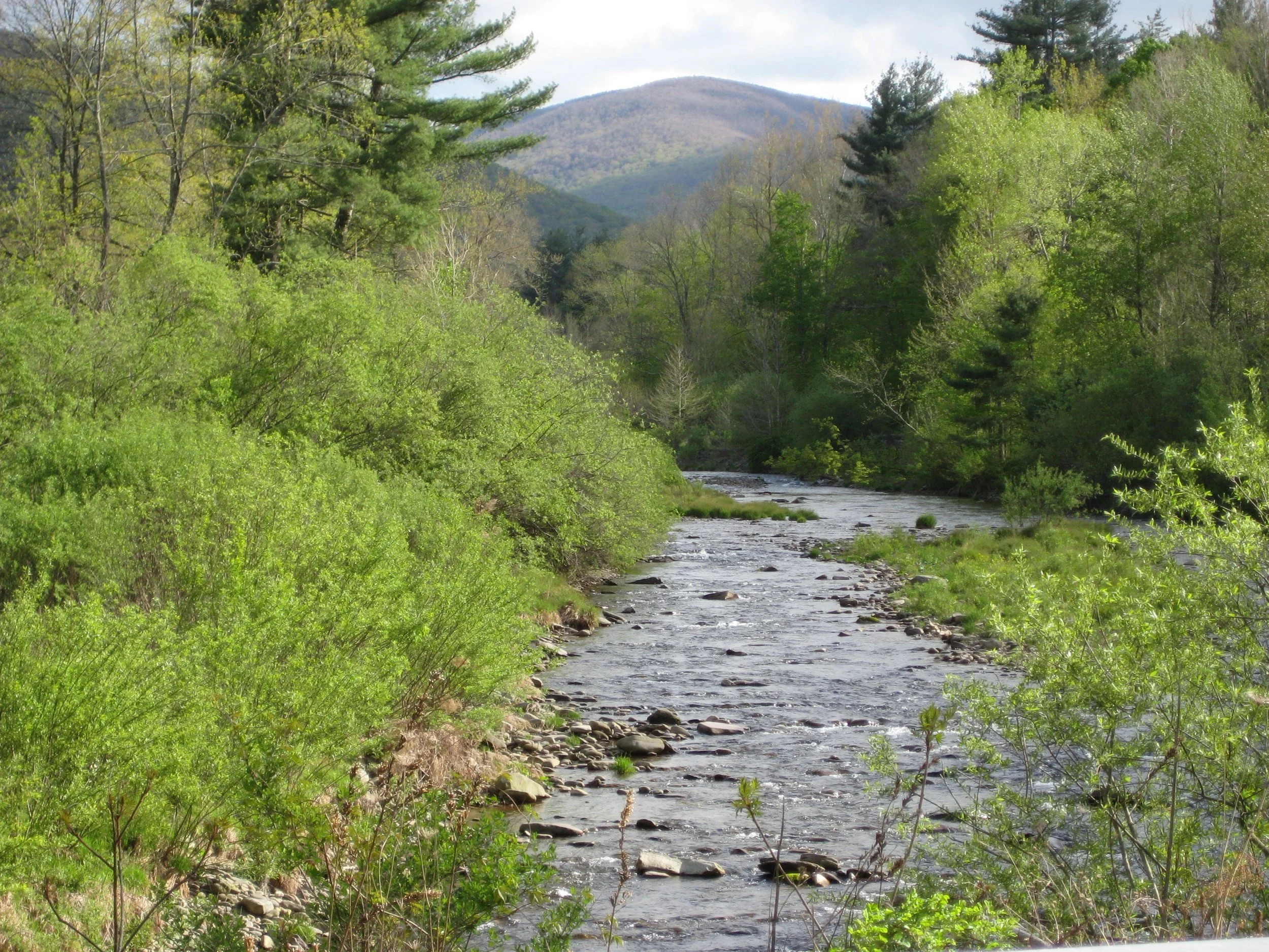
Join Marv Freedman and friends for this long and challenging 13-mile bushwack and trail hike to four high peaks. The pace of the hike will be moderate (about 1-1/2 mph moving speed, typically) with steep climbs, and short breaks.
Hikers need to bring plenty of lunch/ food, water/ sports drink, rain gear, sturdy hiking boots, a headlamp and batteries, and hiking poles (recommended). This hike is limited to 12 people and registration is required by September 12. To register, contact Marv Freedman at marvfreedman@gmail.com Please include your cell number in your registration request. Dogs are permitted with the permission of the event leader. Note, meeting place and time, route details, and required gear are subject to change based on weather forecast, trail conditions, etc. Updated information will be provided via email, usually about two to four days before the hike.
We will meet at the Rider Hollow Trailhead at 8:00 am.
Driving directions: To reach the Rider Hollow Trailhead from the east, take State Route 28 39 miles west from the traffic circle at Exit 19 (Kingston) of the NYS Thruway to Galli Curci Road at Highmount and turn left. (This is the same turn for the Belleayre Ski Center.) Proceed 4.95 miles on Galli Curci Road (Ulster Co. Hwy 49A) (becomes Todd Mtn. Rd.) and turn left onto Rider Hollow Road. Continue to the end of the road (2.1 mi.) to the trailhead.
From the west, take State Route 28 to Dry Brook Road (1.2 miles east of Margaretville) and turn right, following the signs for Dry Brook Ridge. Take Dry Brook Rd. 4.7 miles and turn left (following signs for Rider Hollow) onto Todd Mountain Road. Continue less than a half mile and turn right onto Rider Hollow Rd. Continue 2.1 miles to the end of the road/ trailhead.
GPS Coordinates for Rider Hollow Trailhead: 42.10201, -74.51694
Google Maps Link: https://maps.app.goo.gl/imXo6WHnQLoGd1iDA
Slide, Wittenberg, and Cornell Mountains
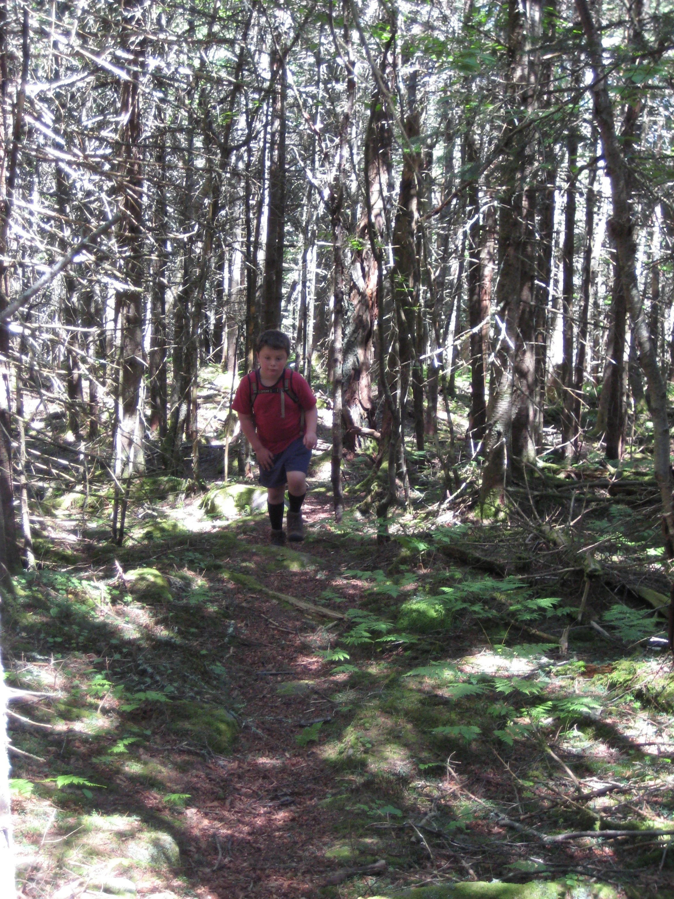
Here’s a great opportunity to take this classic hike across the Burroughs Range. At just under ten miles and including about 2700’ of elevation gain, this hike is rated as difficult and is expected to take eight-to-ten hours, depending on trail conditions.
Participants need to bring plenty of/ extra water/ drink, as well as food/ snacks, sturdy hiking shoes, rain gear, insect and sun protection, a headlamp (just in case), and hiking poles (if desired). This hike is limited to 12 people, and registration is required by September 11. To register, contact Al Purdy at Albertpurdy1@aol.com or (845) 514-0919. Please note, dogs are not permitted on this hike; and severe weather on the day of the hike could postpone the hike.
We will meet at 7:30am at the Slide Mountain parking area/ trailhead. This is where our hike will end. We will shuttle to the Woodland Valley Trailhead to begin the hike.
Directions to the Slide Mountain Parking Area/ Trailhead.
From the north, take State Route 28 to County Hwy 47 and go 9.3 miles and the parking area will be on the left.
From the south, take State Route 55 to Sullivan County Hwy 19 (just west of Grahamsville). Proceed 4.6 miles to Claryville and turn left onto SulCo Hwy 157. Take this road (which becomes UlsCo Hwy 47) 11.4 miles and the parking area will be on the right.
GPS Coordinates to the Slide Mountain Parking Area: 42.008650, -74.427621
Google Maps link: https://maps.app.goo.gl/5hL6d8uXWQtzuJYw6

Hike West Kill Mountain
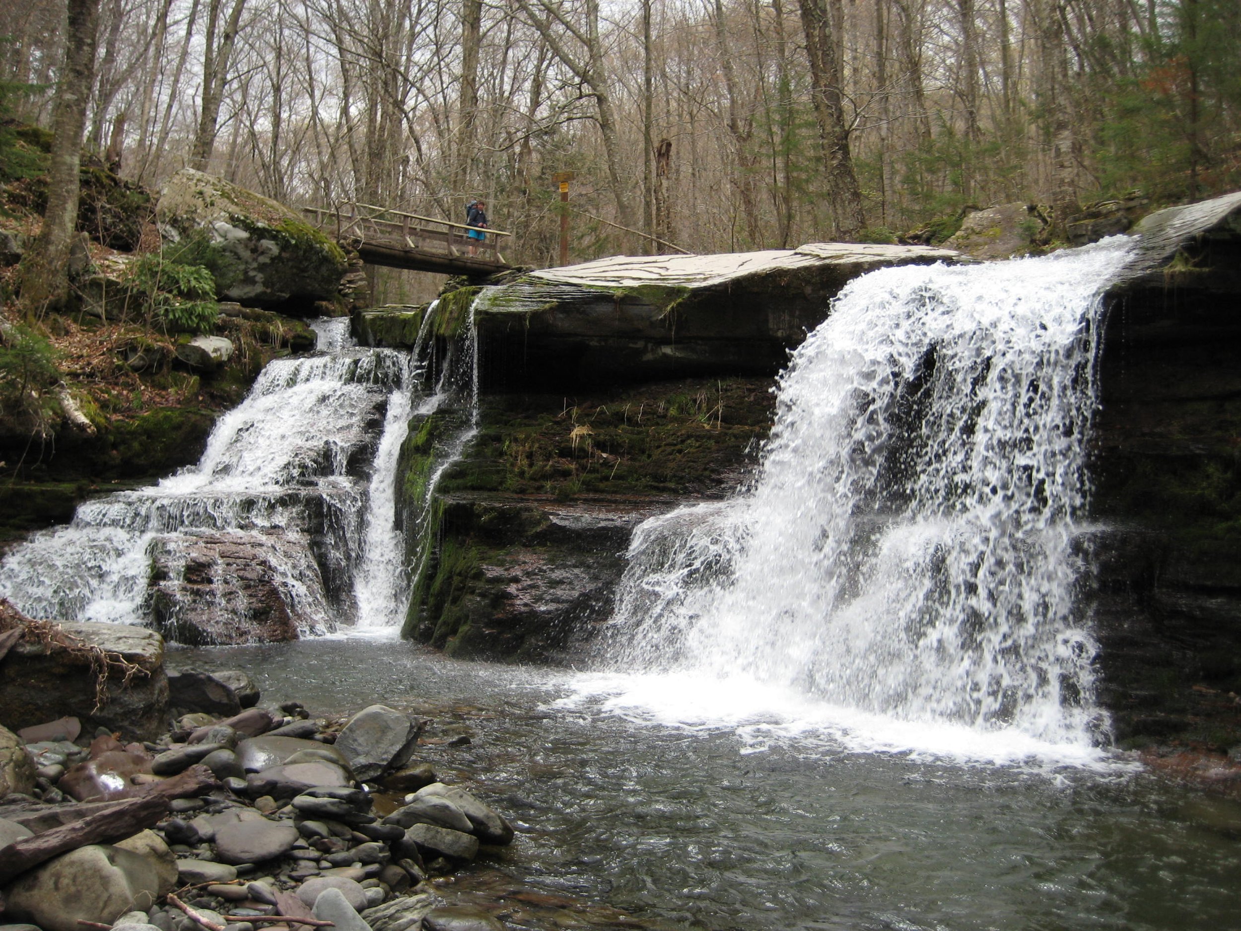
Join Marv Freedman and friends for this trail hike to the summit of West Kill (3898'). This will be a seven-mile, five-hour hike with an ascent of about 1900’. This hike is rated as moderate to difficult. The pace will be moderate (about 1-1/2 mph average moving pace). Fit beginners are welcome.
Participants should bring lunch, water, sports drink, snacks, insect repellent, sunscreen, sunglasses, sturdy hiking shoes, headlamp, rain gear, layers, and hiking poles (recommended). This hike is limited to 12 people, and registration is required. To register, contact Marv Freedman at marvfreedman@gmail.com by September 15. Dogs are permitted with the permission of the event leader. Note, meeting place and time, route details, and required gear are subject to change based on weather forecast, trail conditions, etc. Updated information will be provided via email, usually about four days before the hike. Please be ready to hike by 8am.
Directions: From NYS Thruway Exit 19 (Kingston) merge onto NY 28 west for 27.6 miles. Then take State Route 42 north for 7.3 miles then turn right on County Hwy 6 (Spruceton Road) in West Kill and take this road 6.8 miles to the parking area on the right, almost to the end of the road.
From State Route 23A at Lexington, take State Route 42 south for 4.1 miles then turn left on County Hwy 6 (Spruceton Road) in West Kill and take this road 6.8 miles to the parking area on the right, almost to the end of the road.
Note, this parking lot (where we’ll meet) is on the right just past the Spruceton Trail Parking Lot (which is on the left). Do not park at the end of the road.
Google Maps Link: https://maps.app.goo.gl/xAE9ZJPgZJu2xbwf6
Diamond Notch Parking Lot, GPS Coordinates: 42.18240 -74.26955
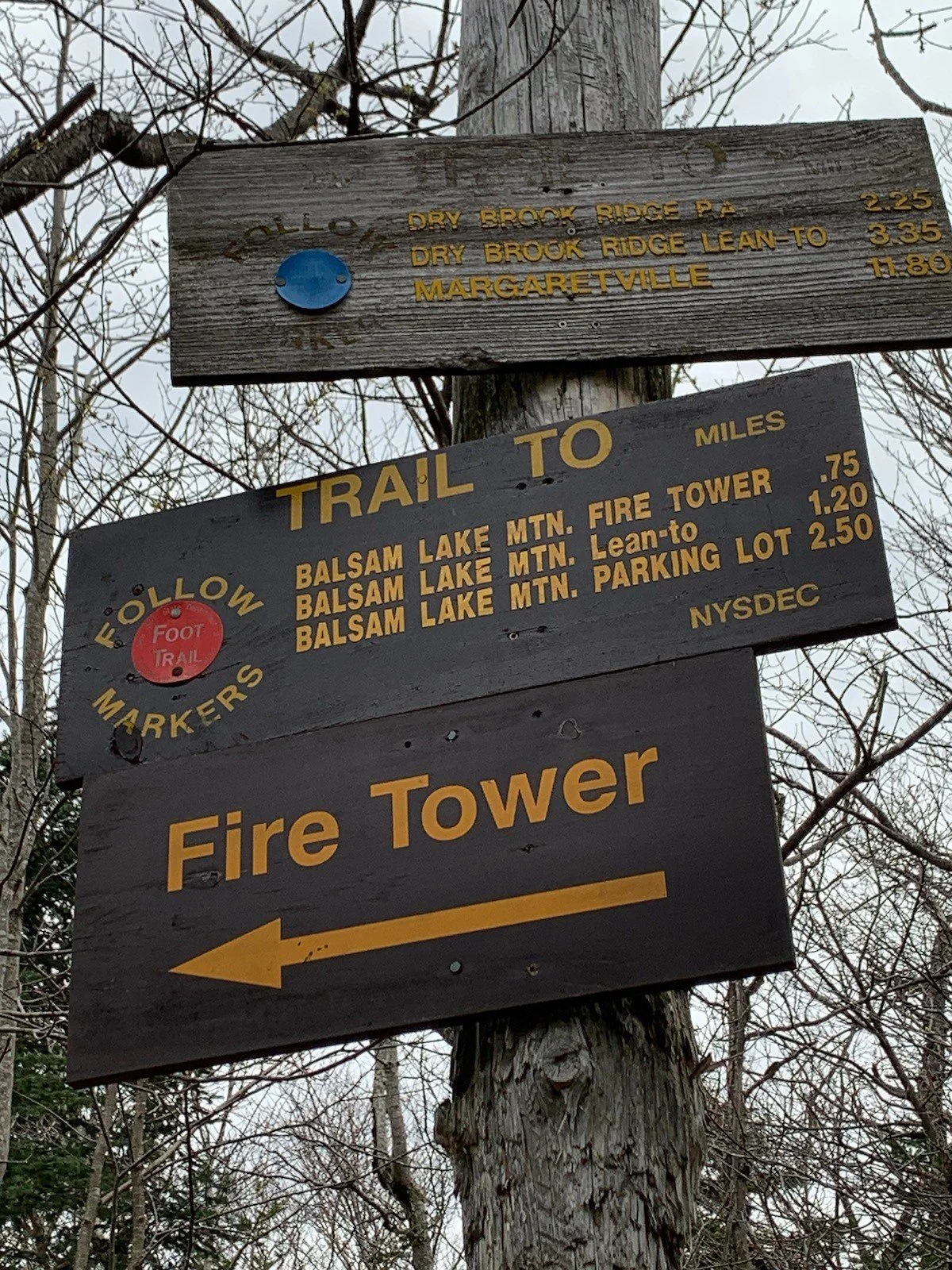
Balsam Lake Mountain via Mill Brook Ridge from Alder Lake
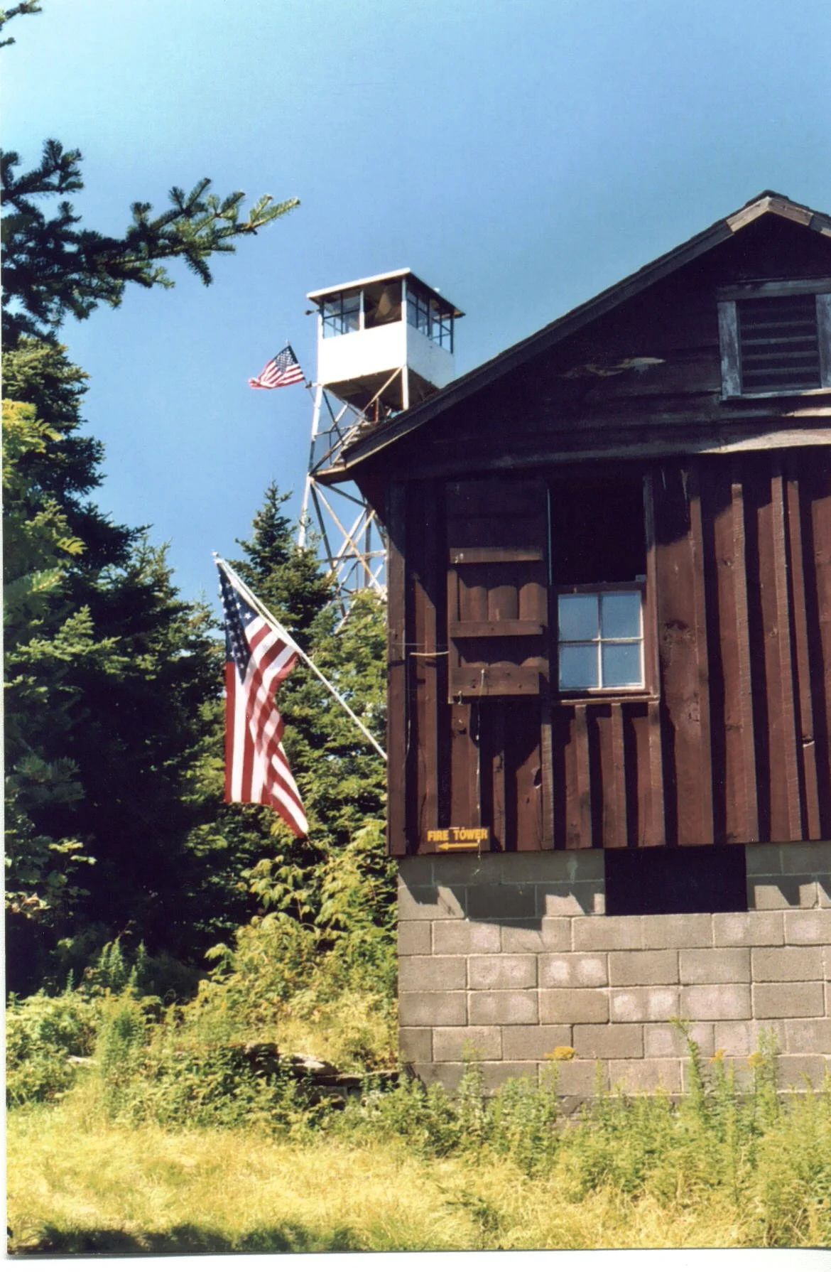
Take this beautiful trail hike, beginning at Alder Lake and incorporating many scenic spots including Beaver Meadow and the fire tower atop Balsam Lake Mountain. At 8.8 miles in length, with 2250’ of elevation gain, and an approximate duration of seven hours, this hike is rated as moderate-difficult. The day's pace will be moderate (about 1-1/2 mph moving pace) with short breaks. Fit beginners are welcome to join this hike.
Hikers need to bring plenty of water/ sports drink, lunch/ snacks, sturdy water-resistant boots, extra clothing; sunscreen/ hat/ sunscreen (optional); hiking poles are recommended. The event is limited to 12 people and registration is required by September 20. To register, contact event leader Marv Freedman at marvfreedman@gmail.com Please include your cell number in your registration request. Dogs are permitted only with the permission of the event leader. Note: meeting place and time, route details, and required gear are subject to change based on weather forecast, trail conditions, etc. Updated information will be provided via email, usually about two to four days before the hike. (Possible swim in Alder Lake.)
We will meet, in time to sign in, transfer gear, and begin or shuttle at 8 am at the Balsam Lake parking area at the end of Beaver Kill / Turnwood Road. This is where our hike will end. We'll leave most cars there and will caravan to the Alder Lake parking area to start our hike.
Google Maps Link to meeting location: https://maps.app.goo.gl/qL5gF4VKWma31RZ38
GPS coordinates of meeting location: 42.023958, -74.599684
Driving Directions: From NYS Thruway Exit 19 (Kingston) turn right onto State Route 28 west and follow for 46.3 miles. Turn left onto Route 30, and follow for 8.3 miles. After crossing the Pepacton Reservoir, turn left immediately onto BWS Road 8 for 1.9 miles. Stay right as BWS becomes Barkaboom Road - continue for 6.3 miles. Turn left onto Beaverkill Road and follow for 9.5 miles to its end. The parking area will be on your right.
From Old Rte. 17 (west of Livingston Manor), take Beaverkill Road north. At 10.8 miles stay right and continue for another 9.5 miles to the end of the road. The parking area will be on your right.

Mongaup Pond Loop
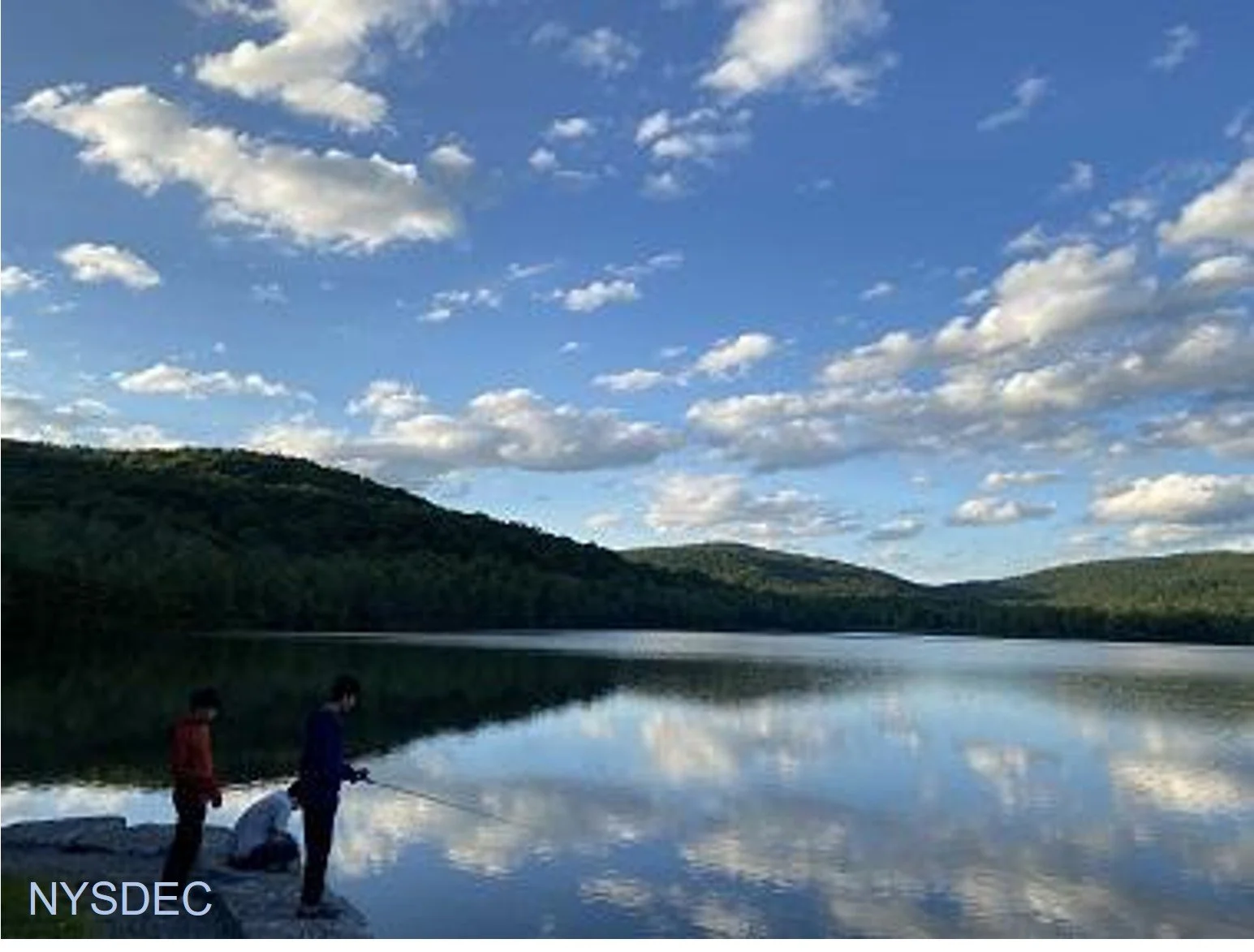
Join Al Purdy for this All-Trails outing that will include the Hardenburgh Trail, the Long Pond-Beaverkill Ridge Trail, and the Mongaup-Willowemoc Trail. Beginning at Mongaup Pond and rated as difficult, this clockwise route will cover ten miles and last about eight hours.
Participants need to bring lunch/ snacks, water/ sports drink, insect and sun protection, head lamp, proper rain gear, layers, sturdy hiking shoes, and poles (recommended). This hike is limited to 12 people, and registration is required. To register, contact Al Purdy at Albertpurdy1@aol.com or (845) 514-0919 by September 18. Please note, dogs are not permitted on this hike. Additional notes: Mongaup Campground closes the first week in September, so there most likely won't be a fee to park. Poor weather conditions will postpone the hike.
We will meet at 9am at Monguaup Pond main/ beach parking lot. Directions: From NYS Thruway Exit 19/ Kingston, turn right onto Route 28 for 30.4 miles. Turn left onto County Highway 47 in Big Indian and proceed 19.3 miles. Turn sharp right onto Pole Road (also becomes Willowemoc Road and known as Pond Rd.) and go 9.4 miles. Turn right onto Mongaup Road and proceed 3.9 miles, passing the gate and parking in the main/ beach parking lot.
From NYS Route 17 westbound, take exit 96W and turn left onto DeBruce Road. Continue on DeBruce Road 5.6 miles to Mongaup Road. Turn left onto Mongaup Road and proceed 3.9 miles, passing the gate and parking in the main/ beach parking lot.
From NYS Route 17 eastbound, take exit 96E and turn right at the end of the exit. Proceed .1 mile to stop sign, turn left, then take the next left onto DeBruce Rd. You will soon see a "red caboose" on left. Continue on DeBruce Road 5.6 miles to Mongaup Road. Turn left onto Mongaup Road and proceed 3.9 miles, passing the gate and parking in the main/ beach parking lot.
GPS coordinates of meeting location: 41.95829, -74.69113
Google Maps link: https://maps.app.goo.gl/hV8Sjuciv3RFLpai7

Long Path - South of Route 23A
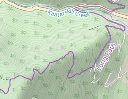
Here’s a point-to-point event that will cover a lesser-hiked section of trail in the northeastern Catskills. This outing may be of special interest for those looking to complete the Catskills All Trails Challenge. Led by Marv Freedman, this 10.2-miler will include 1740’ of ascent and 2960’ of descent. The day’s pace will be moderate (about 1-1/2 mph moving pace) with short breaks. Rated as moderate-to-difficult, this hike is expected to take about eight hours.
Participants need to bring lunch/ snacks, plenty of water/ sports drink, rain gear, sturdy shoes, insect repellent, and sunscreen, and hiking poles (recommended). This hike is limited to 12 participants and registration is required. To register, contact hike leader Marv Freedman at marvfreedman@gmail.com by August 19. Please include your cell number in your registration request. Dogs are permitted with the permission of the event leader.
We will meet at 8am ready to shuttle at the Harding Road Parking Area on State Route 23A just west of Palenville. (We will then shuttle to Huckleberry Point parking area, off of Platte Clove Road, to start our hike.)
Driving directions: From NYS Thruway Exit 20 Saugerties, take Route 32 north for 5.7 miles. And continue straight onto Route 32a for 1.9 miles. Take a slight left onto 23A for 0.5 miles, and the Harding Road Trailhead parking area will be on the right.
GPS Coordinates to the Harding Road Trailhead parking area: 42.17616, -74.03050
Google Maps Link: https://maps.app.goo.gl/6W5K7fmp45UkY6dm9
Note, meeting place and time, route details, and required gear are subject to change based on weather forecast, trail conditions, etc. Updated information will be provided via email, usually about four days before the hike.
Plateau, Sugarloaf, Twin, and Indian Head Mountains
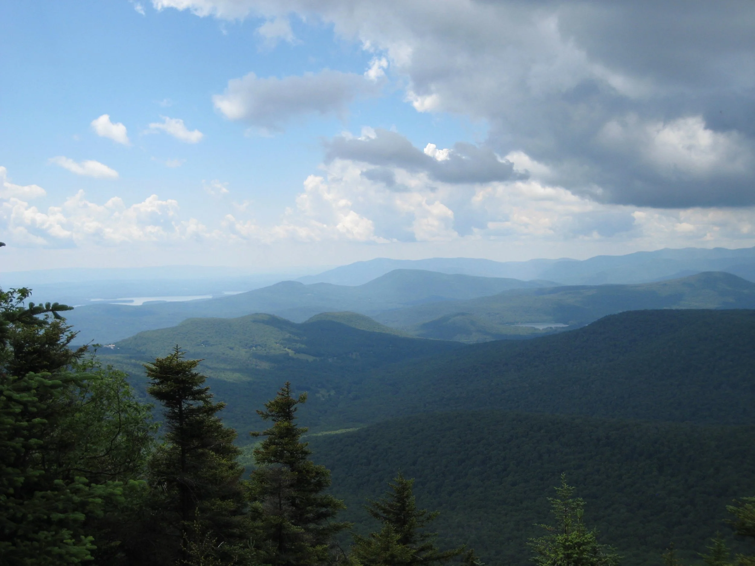
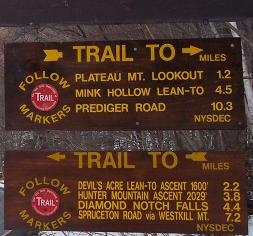
Here’s a challenging ten-mile hike along the eastern Devil’s Path with excellent views and fun scrambles. With 4300' of elevation gain, this outing is rated as difficult and is expected to take about seven hours. We will hike at a pace of approx. 1.5 mph.
Hikers need to bring water/sports drink (2+ liters recommended), snacks (we will not stop for a long lunch), insect repellent, sunscreen, sunglasses, sturdy/water-resistant hiking shoes, hiking poles (recommended), and a headlamp (we should finish well before dark, but need to be prepared in case we're delayed). This hike is limited to 12 people, and registration is required. To register, contact Marv Freedman at marvfreedman@gmail.com by September 26. Please include your cell number in your registration request. Dogs are permitted with the permission of the event leader. Updated information will be provided via email, usually about two to four days before the hike.
Meet, ready to shuttle, no later than 8am, at the Prediger Trailhead, off of Platte Clove Rd. This is where our hike will end. We'll leave most cars there and will caravan to the end of Mink Hollow Rd to start our hike.
Google Maps Link: https://maps.app.goo.gl/vHJdQzeqL3cMtZSdA
GPS Coordinates: 42.1340112, -74.104360
Directions to Prediger Road Trailhead: To reach the trailhead from State Route 23A east in Tannersville, bear left on South Main St., stay left on Spruce (becomes Platte Clove Rd.) and at 1.5 miles stay left on Platte Clove Road and continue another 4.2 miles. Turn right on Prediger Road, following the signs for forest preserve parking near the end of the road.
From Route 23A west, take a right on Bloomer Road (.6 miles after the 23A/ 214 jnctn). Just after a mile stay to the right at the yield signs and onto Platte Clove Road (Co. Hwy. 16). Continue 4.3 miles and turn right on Prediger Road, following the signs for forest preserve parking near the end of the road.
The Prediger Road Trailhead can also be reached from State Route 212. From the NYS Thruway Exit 20/ Saugerties, take 212 west about 2.2 miles, turn right onto Blue Mountain Road, continue 1.4 miles and bear left onto West Saugerties Road (becomes Platte Clove Road); continue for 5.25 miles up steep grade to Prediger Rd. Follow the signs for forest preserve parking near the end of the road.
Hike Eagle and Haynes Mountains

(A. Purdy)
This one-way, eight-mile hike will begin in Seager Hollow and conclude in Rider Hollow. Rated as difficult, this outing is expected to last six-to-seven hours. Participants need to bring lunch/ snacks, water/ sports drink, insect and sun protection, head lamp, proper rain gear, layers, sturdy hiking shoes, extra sock, and poles (recommended).
This hike is limited to 12 people, and registration is required. To register, contact Al Purdy at Albertpurdy1@aol.com or (845) 514-0919 by September 25. Please note, dogs are not permitted on this hike. Also note, there will be multiple stream crossings; and poor weather conditions will postpone the hike.
We will meet at the Rider Hollow Trailhead at 8:00 am; then shuttle to Seager Hollow to begin our hike.
Driving directions: To reach the Rider Hollow Trailhead from the east, take State Route 28 39 miles west from the traffic circle at Exit 19 (Kingston) of the NYS Thruway to Galli Curci Road at Highmount and turn left. (This is the same turn for the Belleayre Ski Center.) Proceed 4.95 miles on Galli Curci Road (Ulster Co. Hwy 49A) (becomes Todd Mtn. Rd.) and turn left onto Rider Hollow Road. Continue to the end of the road (2.1 mi.) to the trailhead.
From the west, take State Route 28 to Dry Brook Road (1.2 miles east of Margaretville) and turn right, following the signs for Dry Brook Ridge. Take Dry Brook Rd. 4.7 miles and turn left (following signs for Rider Hollow) onto Todd Mountain Road. Continue less than a half mile and turn right onto Rider Hollow Rd. Continue 2.1 miles to the end of the road/ trailhead.
GPS Coordinates for Rider Hollow Trailhead: 42.10201, -74.51694
Google Maps Link: https://maps.app.goo.gl/imXo6WHnQLoGd1iD
Plateau Mountain from Mink Hollow South
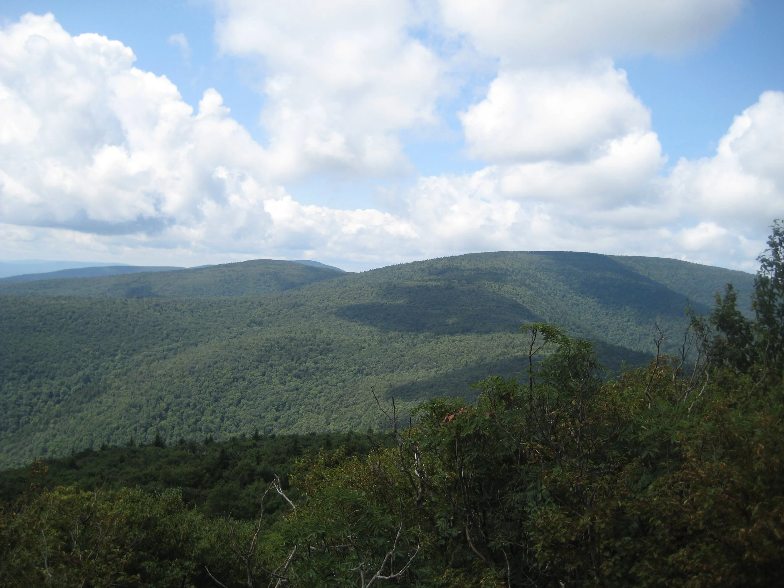
Take an adventurous journey to this 3840’ Catskill high peak with Al Purdy and friends. Rated as difficult, this 7.3-mile hike begins with a trek up Mink Hollow from the south and then engages in a rigorous ascent of the eastern side of the mountain. Participants need to bring lunch/ snacks, water/ sports drink, sturdy hiking shoes, insect repellent, sunscreen, proper layers, rain gear, extra shoes and socks, headlamp and hiking poles are recommended. The outing is expected to take six hours.
This hike is limited to 12 people, and registration is required. To register, contact Al Purdy at Albertpurdy1@aol.com or (845) 514-0919 by September 28. Please note, dogs are not permitted on this hike. Also note, there are several stream crossings on the Mink Hollow Trail that can be difficult to cross; and, poor weather conditions will postpone the hike.
We will begin at 9:00 am. To reach the trailhead take State Route 28 to the hamlet of Mount Tremper and turn onto State Route 212. Continue 6.5 miles and then turn left onto Mink Hollow Road in the hamlet of Lake Hill. Continue on Mink Hollow Road for 2.9 miles to the trailhead/ end of road.
GPS coordinates of meeting location: 42.10263 - 74.17188.
Google Map Link: https://maps.app.goo.gl/m5Bnn2ZbnVYKyZWdA


CMC Annual Dinner

This year’s annual dinner will be held at the Windham Mountain Club.
Featuring: Cocktail Hour; Hiking Challenge and Leadership Awards; Full Dinner; Screening of the Queen of the Catskills; CMC annual report.
Registration LINK
Queen of the Catskills Official Trailer LINK
Speaker Bios:
Jamie Kennard is an award-winning filmmaker, photographer, and record-setting skier, whose decade-long pursuit to ski all 81 of New York's high peaks—the Adirondack 46ers and Catskill 35s—is chronicled in the 2024 film, VARIABLE.
Jamie has been profiled in Powder, Times Union, Hudson Valley Magazine, and Upstate Sports, while his photographs have appeared in Outside, Backcountry, and Flylords.
His forthcoming memoir, The Exquisite Weight of the Mountains, weaves together the grueling quest to climb and ski every high peak in the Adirondacks and Catskills with a portrait of his lifelong relationship with his late wife. It will be published by Avid Reader Press (Simon & Schuster). He lives in Woodstock, NY, in the heart of the Catskill Mountains.
Julie McGuire is a high school English teacher, outdoors enthusiast, and avid backcountry skier. On November 30, 2024, she completed a four-year journey to become the first woman to ski all 33 Catskill High Peaks.
Julie volunteers as a trail maintainer with the New York-New Jersey Trail Conference and with Winter4Kids, where she teaches her students from the South Bronx how to ski. She is currently pursuing a new project to ski the "lower 67," with hopes of becoming the first person to ski the 100 highest mountains in the Catskills.

Ashokan High Point

Enjoy a nine-mile outing to this 3,081’ summit in the Eastern Catskills. Rated as difficult, this ‘lollipop’ route is expected to last six-to-seven hours. Participants need to bring lunch/ snacks, water/ sports drink, insect and sun protection, head lamp, proper rain gear, clothing layers, sturdy hiking shoes, and poles (recommended).
This hike is limited to 12 people, and registration is required. To register, contact Al Purdy at Albertpurdy1@aol.com or (845) 514-0919 by October 2. Please note, dogs are not permitted on this hike. Also note, some of the low areas of this trail tend to be wet; and poor weather conditions will postpone the hike.
We will meet at the Kanape Valley Parking Lot at 8am.
Directions: From NYS Thruway Exit 19/ Kingston, turn right onto State Route 28 west. Go 16.1 miles to Boiceville, turn left onto Route 28A. Proceed three miles, and turn right onto Ulster County Hwy 42/ Watson Hollow/ Peekamoose Road and continue four miles to the Kanape parking lot on the right.
GPS Coordinates: 41.93579 -74.32827
Google Maps Link: https://maps.app.goo.gl/i8vv26VnfHPnuaUHA

Huckleberry Loop

Hike the Huckleberry circuit in the Western Catskills with Al Purdy and friends. This hike is of interest to those looking to complete the All Trails Challenge as well as the Catskill High Peaks (Dry Brook Ridge). Rated as difficult, this longer outing is 12.8 miles and is expected to take nine hours. Participants need to bring lunch/ snacks, water/ sports drink, sturdy hiking shoes, insect repellent, sunscreen, proper layers, rain gear, headlamp, and hiking poles are recommended.
This hike is limited to 12 people, and registration is required. To register, contact Al Purdy at Albertpurdy1@aol.com or (845) 514-0919 by October 10. Please note, dogs are not permitted on this hike; and, poor weather conditions will postpone the hike.
We will meet, ready to hike, at the Hill Road Trailhead at 8am.
To reach the Hill Road Trailhead from the east, take State Route 28/30 1.9 mi. miles west from Fair St. Margaretville and turn left (across from the stone schoolhouse). (From the west, take State Route 28/30 east 1.2 miles from the junction of State Routes 28 & 30 at Dunraven and turn right. Following the signs for the Huckleberry Loop, turn left. In a short distance at the top of the hill, turn right onto Huckleberry Brook Road; then in one-third of a mile, turn left onto Hill Road, and the trailhead is 1.3 miles on the right.
GPS Coordinates to Hill Rd. Parking Area: 42.11658, -74.64774
Google Maps Link: https://maps.app.goo.gl/Q9RzjycUbuoBubrT8

Bangle Hill and the Blue Hole
Beginning in the Peekamoose Valley, this hike kicks off with a steep climb to Bangle Hill and then to Spencer Road and back. This route may be of particular interest for those looking to complete the Catskills All Trails Challenge. The nine-mile outing is rated moderate-to-difficult and is expected to six-to-seven hours. A side trip to the Blue Hole will follow the hike. Participants need to bring lunch/ snacks, water/ sports drink, sturdy hiking shoes, insect repellent, sunscreen, proper layers, rain gear, headlamp, and hiking poles are recommended.
This hike is limited to 12 people, and registration is required. To register, contact Al Purdy at Albertpurdy1@aol.com or (845) 514-0919 by October 12. Please note, dogs are not permitted on this hike; and, poor weather conditions will postpone the hike.
We will meet, ready to hike, at the new Peekamoose Parking Area at 9am.
Directions: From NYS Thruway Exit 19 (Kingston), turn right onto Route 28 and continue 16.1 miles. Turn left onto 28a and continue for 3 miles. Turn right onto Ulster County Highway 42 (Watson Hollow/ Peekamoose Road) for 10.2 miles to the Peekamoose/ Blue Hole Parking Area on the right.
GPS Coordinates: 41.917, -74.436
Google Maps Link: https://maps.app.goo.gl/EMVkvR37yCfqxAJy8

Dry Brook Ridge
This eight-hour/ roughly ten-mile hike will traverse Dry Brook Ridge and is rated as moderate-to-difficult. The hike is limited to 12 people, and registration is required. To register, contact Marv Freedman at Marvfreedman@gmail.com by September 8.
We'll meet at the trailhead on South Side Spur in Margaretville at 8am.
Google Maps Link: https://maps.app.goo.gl/z1kSyMxpceYpxk1n8
42.143893, -74.649523
Follow signs for “Pakatakan” at Rte. 28 and Bridge St., Margaretville.
Please arrive in time to sign in, transfer gear and begin our shuttle by 8 am.
This is where our hike will end. We'll shuttle to the Dry Brook Ridge trailhead on Mill Brook Road to start our hike. Pace is moderate: @ 1-1.5 mph.
Google Maps Link: https://maps.app.goo.gl/qkfFWJRp4wgoapWZA
GPS: 42.070238, -74.573859
Bring
Comfortable hiking boots/shoes
Sunscreen/Sunglasses/Hat with brim
Insect repellent, head net
Gaiters (recommended)
Poles (recommended)
Lunch and/or Snacks/hydration (for short breaks and to eat/drink while hiking)
Change of shoes/clothes in ca

Shingle Gully am Vernooy Falls pm

(NYS Parks)
Shingle Gully is a protected primitive area within the Sam's Point Area of Minnewaska State Park Preserve. This rugged, protected landscape is accessible only on guided tours led by volunteer docents. Our hike will be about 4 to 4-1/2 miles long, and will ascend and descend about 1500 feet, on a combination of carriage roads, long rock scrambles, and off-trail bushwhacks. You must be fit, and comfortable with heights, tight spaces, open ledges, and poor footing.
This hike is limited to 12 people, and registration is required by September 7. To register, contact Marv Freedman at marvfreedman@gmail.com Please include your cell number in your registration request. Dogs are not permitted on this hike. Note, meeting place and time, route details, and required gear are subject to change based on weather forecast, trail conditions, etc. Updated information will be provided via email, usually about two to four days before the hike.
Optional hike to Vernooy Kill Falls in the afternoon.
Google Maps link to starting location/ Berme Park: https://maps.app.goo.gl/RCrWL2KHAidywQfy9
GPS Coordinates to starting location/ Berme Park: 41.713426, -74.382708
Directions: From the junction of State Route 52 and US Route 209 in Ellenville, take Rte. 52 east for one half mile and turn left onto Broadhead St. Proceed .15 of a mile (becomes Berme Road) and make the second right onto the drive that leads up to the parking area for Berme Park.
Big Indian, Eagle, and Haynes Mountain
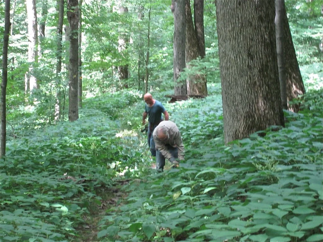
Join Al Purdy on this one-way hike along the Catskills Divide and over three peaks. For Catskills All Trails Challenge enthusiasts, this 10.5-miler will cover 8.75 miles of the Pine Hill West Branch Trail and 1.75 miles of the Oliverea-Mapledale Trail. Rated as difficult, the outing is expected to take eight-to-ten hours.
Participants need to bring plenty of/ extra water/ drink, as well as food/ snacks, sturdy hiking shoes, rain gear, insect and sun protection, a headlamp (just in case), and hiking poles (if desired). This hike is limited to 12 people, and registration is required by September 4. To register, contact Al Purdy at Albertpurdy1@aol.com or (845) 514-0919. Please note, dogs are not permitted on this hike; and severe weather on the day of the hike or heavy rain leading up to the day of the hike could postpone the hike (due to challenging stream crossings).
We will meet at the McKenley Hollow Trailhead at 9am. This is where our hike will end; from here, we’ll shuttle over to the Biscuit Brook Trailhead to begin. Directions to McKenley Hollow: From NYS Thruway Exit 19/ Kingston, take Route 28 west for 30.9 miles. Turn left onto County Hwy 47 at Big Indian. Proceed 2.9 miles and turn right onto Mckenley Hollow Road, and the parking area is on the left in 0.8 miles. From the west, proceed 4.1 miles past the entrance to the Belleayre Ski Center at Highmount on Route 28 and turn right onto County Hwy 47 at Big Indian. Proceed 2.9 miles and turn right onto Mckenley Hollow Road, and the parking area is on the left in 0.8 miles.
GPS Coordinates to McKenley Hollow parking area: 42.070489, -74.474117
Google Maps link: https://maps.app.goo.gl/sAqJvmVrEm2MTE717

Blackhead, Black Dome & Thomas Cole Mountains
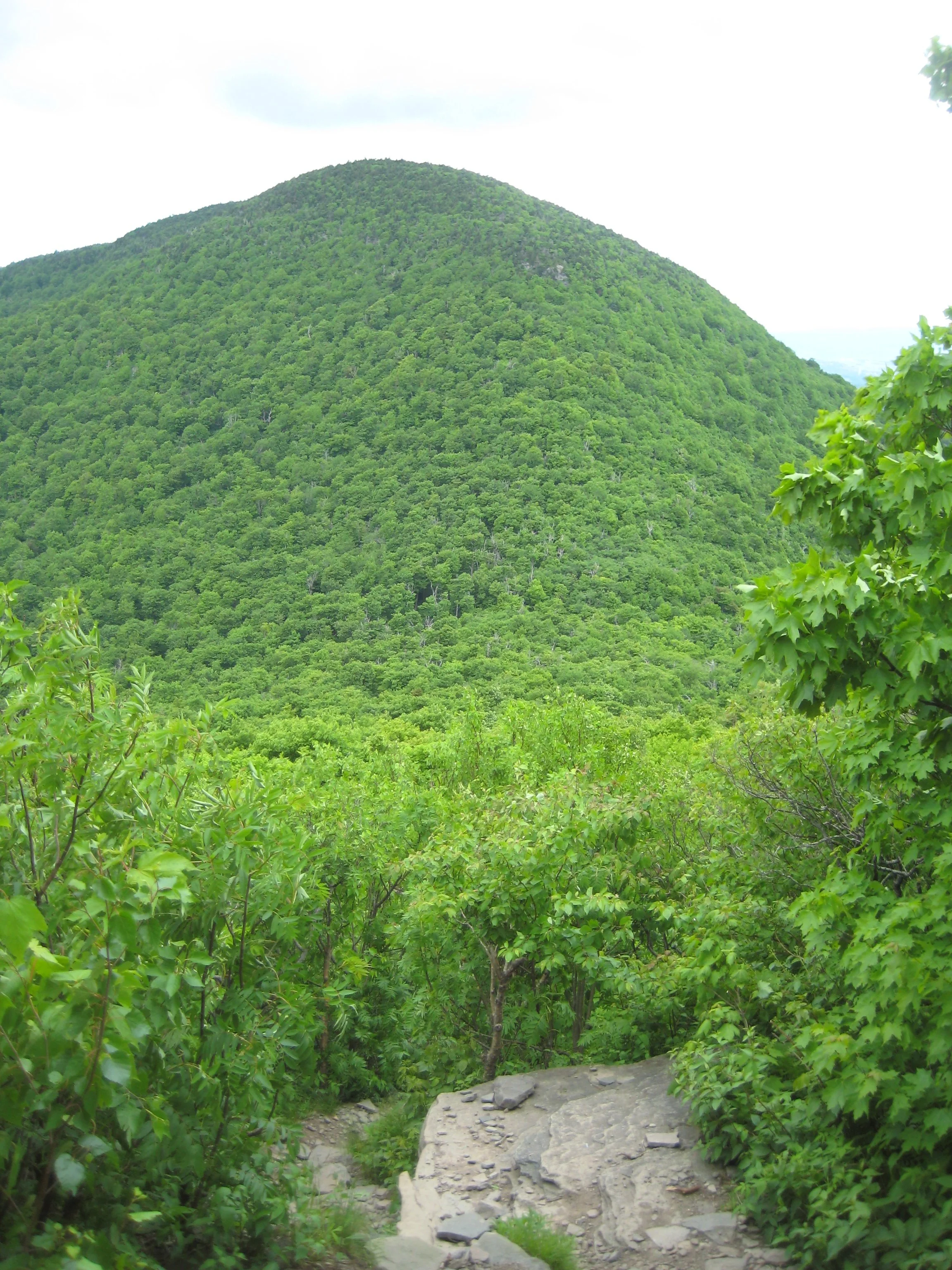
This one-way hike will traverse three Catskill High Peaks: Blackhead (3940'), Black Dome (3994'), and Thomas Cole (3953'). Rated moderate-difficult, this 7.3-mile hike is expected to take six hours. We will hike at a moderate pace (about 1-1/2 mph moving speed) with steep climbs, and short breaks. Hikers need to bring lunch/ food, plenty of water/ sports drink, rain gear, sun and insect protection, headlamp, and hiking poles (recommended).
This hike is limited to 12 people and registration is required by September 5. To register, contact Marv Freedman at marvfreedman@gmail.com Please include your cell number in your registration request. Dogs are permitted with the permission of the event leader. Note, meeting place and time, route details, and required gear are subject to change based on weather forecast, trail conditions, etc. Updated information will be provided via email, usually about two to four days before the hike.
We will meet at the end of Barnum Road, ready to shuttle by 8:00 am. This is where our hike will end. We'll leave most cars here and will caravan to the parking area near the end of Big Hollow Road to start our hike. Please do not park in the snowplow turn-around or block any driveway.
GPS Coordinates are 42.26399, -74.17666
Google Maps link: https://maps.app.goo.gl/G727Db4fcoc5uGrz8
Directions to Barnum Road: From NYS Thruway (87) Saugerties/ Exit 20, turn right on 32 North for six miles and keep straight onto NY-32A. Take NY-32A for 0.6 miles, bear left onto NY-23A. Take Route 23A for 5.5 mi. and turn right onto Co. Hwy 25. At 2.8 mi. stay right onto Co. Hwy 23C; in another four miles turn right onto Co. Hwy 40. In 1.1 mi. turn right onto Hauser Rd for 0.5 mi./ end. Turn right onto Barnum Road and trailhead parking is 0.4 mi.
From NY-23 in Windham, take 23 east to NY-296; turn right on 296 and take 1.5 miles and stay straight (296 goes left) onto Co. Hwy 40 (Maplecrest Rd.) and continue two miles to Maplecrest. Turn right, staying on Hwy 40, climb the hill for .3 of a mile and turn left onto Barnum Rd. Continue to trailhead parking (0.4 mi.).
From NY-23 in East Windham, take 23 west to Co. Hwy 65 and turn left onto 65A. Take 65A, this merges with Co. Hwy. 40, and continue three miles to Maplecrest. Turn right, staying on Hwy 40, climb the hill for .3 of a mile and turn left onto Barnum Rd. Continue to trailhead parking (0.4 mi.).
Vly & Bearpen am, Halcott pm
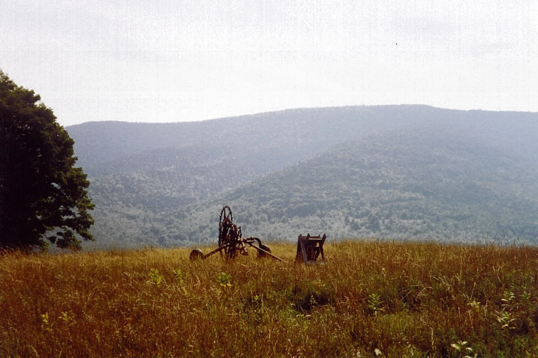
Join Marv Freedman and other hikers for this two-part outing to three high peaks. The day begins with a non-DEC trail hike to Vly Mountain (3541’) and Bearpen Mountain (3587’). The morning distance is 6.5 miles and the elevation gain is 2100’. This will be followed by a short, steep bushwhack in the afternoon to Halcott Mountain (3509’.) The afternoon distance is 3.5 miles, and the elevation gain is 1700’. The day’s pace will be moderate (about 1-1/2 mph moving pace) with short breaks. Overall mileage is 10 miles, and the duration will be about eight hours. Fit beginners are welcome to join. The day’s hikes are rated as moderate-to-difficult.
Participants should bring lunch, hiking poles (recommended), headlamp, water, sports drink, snacks, insect repellent, and sunscreen. This hike is limited to 12 participants and registration is required. To register, contact hike leader Marv Freedman at marvfreedman@gmail.com by September 2. Please include your cell number in your registration request. Dogs are permitted with the permission of the event leader.
Directions: Parking is limited at the morning trailhead, so we'll meet at 8am in the parking area across from the Highmount Post Office at 8 Galli Curci Road, in Highmount NY, just off of State Route 28 and at the base of the Belleayre Ski Center. From the east, Highmount is located 37 miles west of the NYS Thruway Exit 19 (Kingston) on Route 28 at the top of the hill. From the west, Highmount is located 8.2 miles east of the village of Margaretville at the top of the hill. For the afternoon hike, we'll caravan to the Halcott parking area on Rt 42.
GPS Coordinates to parking lot across from Highmount Post Office: 42.14680, -74.49486
Google Maps link: https://maps.app.goo.gl/fAvYWAKNkFYp9ZYg6
Additional Info: Meeting place and time, route details, and required gear are subject to change based on weather forecast, trail conditions, etc. Updated information will be provided via email, usually about four days before the hike.

Sugarloaf and Twin Mountains
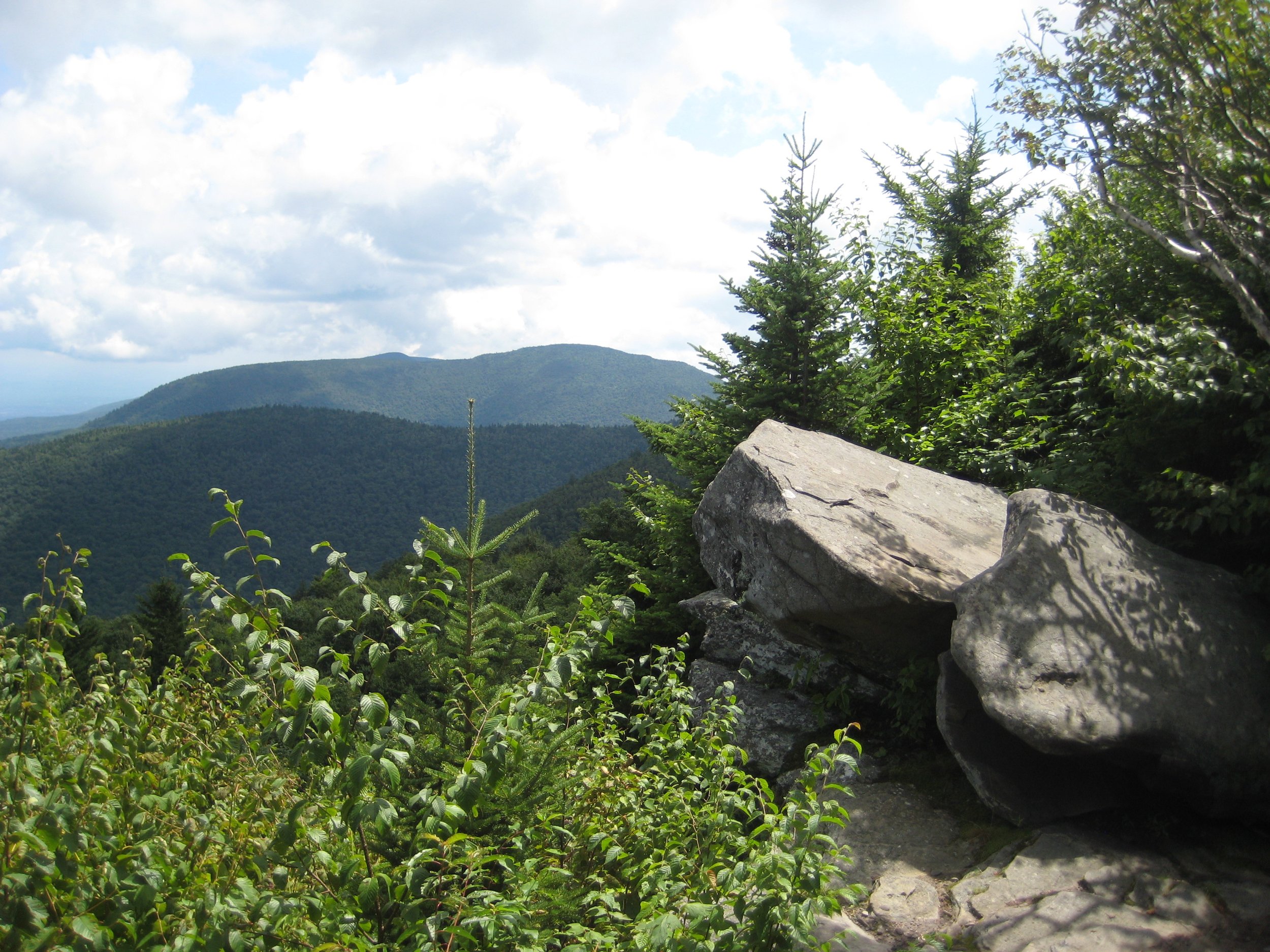
This challenging and scenic 9.2-mile hike will feature a counterclockwise loop of Sugarloaf with an out-and-back spur to Twin. Rated as difficult, hikers can expect to enjoy about eight hours in the mountains. Participants need to bring plenty of lunch, snacks, water and sports drink, sturdy/ comfortable hiking shoes, sun and insect protection, rain gear, head lamp, and hiking poles (recommended).
This hike is limited to 12 people, and registration is required. To register, contact Al Purdy at Albertpurdy1@aol.com or (845) 514-0919 by August 28. Note, dogs are not permitted on this hike, and poor weather conditions will postpone the hike.
We’ll meet ready to hike at 8am at the Roaring Kill Trailhead.
Driving Directions to Roaring Kill Trailhead: To reach the trailhead from State Route 23A east in Tannersville, bear left on South Main St., stay left on Spruce (becomes Platte Clove Rd.) and at 1.5 miles stay left on Platte Clove Road and continue another 3.3 miles to Dale Lane. Turn right on Dale Lane and continue just over a mile to the trailhead which is on the left.
From Route 23A west, take a right on Bloomer Road (.6 miles after the 23A/ 214 jnctn). Just after a mile stay to the right at the yield signs and onto Platte Clove Road (Co. Hwy. 16). Continue 3.3 miles to Dale Lane. Turn right on Dale Lane and continue just over a mile to the trailhead which is on the left.
The Roaring Kill Trailhead can also be reached from State Route 212 between Woodstock and Saugerties (generally May-October). In Centerville, turn north onto Blue Mountain Road. In 1.5 miles turn left onto West Saugerties Road. From this intersection continue through the residential area and climb the steep mountain. At 6.25 miles turn left on Dale Lane and continue just over a mile to the trailhead which is on the left.
GPS Coordinates for Roaring Kill Trailhead: 42.15117, -74.131064
Google Maps link to Roaring Kill Trailhead: https://maps.app.goo.gl/zDyBAKGGHLaYSjJj9
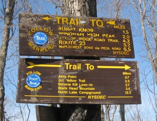
Windham High Peak & Burnt Knob
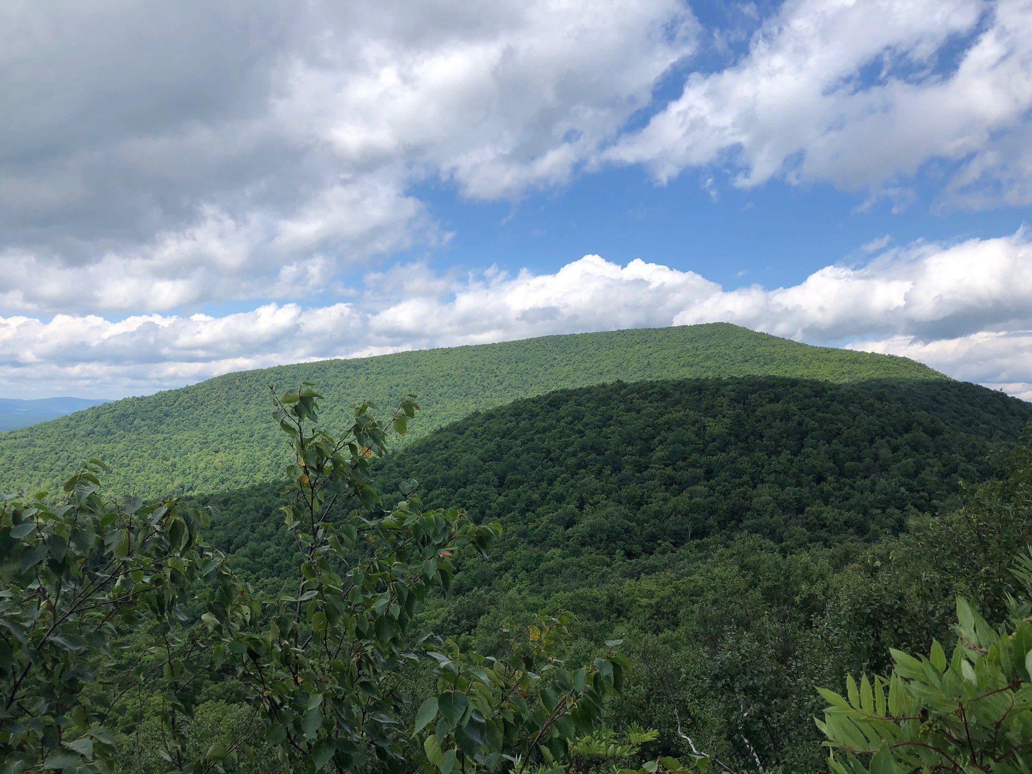
This one-way, 7.6-mile hike along the Escarpment Trail is rated moderate-to-difficult and is expected to take about six hours. The pace of the hike will be moderate (about 1-1/2 mph moving speed, typically) with steep climbs, and short breaks. Hikers need to bring lunch/ food, plenty of water/ sports drink, insect repellent, sunscreen, rain gear, hiking poles, a headlamp, and batteries.
This hike is limited to 12 people, and registration is required by August 29. To register, contact Marv Freedman at marvfreedman@gmail.com Please include your cell number in your registration request. Dogs are permitted with the permission of the event leader. Note, meeting place and time, route details, and required gear are subject to change based on weather forecast, trail conditions, etc. Updated information will be provided via email, usually about two to four days before the hike.
We will meet at the Big Hollow Road parking area in time to sign in, transfer gear, and begin our shuttle by 8 am. This is where our hike will end. We’ll shuttle to the Escarpment Trailhead to begin our hike.
GPS Coordinates for Big Hollow Road parking area: 42.288911, -74.115142
Google Maps link for Big Hollow Road parking area: https://maps.app.goo.gl/k2UxTyA7LDLcY3sy7
Directions to the Big Hollow Parking Area: From NYS Thruway (87) Saugerties/ Exit 20, turn right on 32 North for six miles and keep straight onto NY-32A. Take NY-32A for 0.6 miles, bear left onto NY-23A. Take Route 23A for 5.5 mi. and turn right onto Co. Hwy 25. At 2.8 mi. stay right onto Co. Hwy 23C; in another four miles turn right onto Co. Hwy 40. Take Hwy 40 1.25 miles to Maplecrest. Turn right onto Big Hollow Road and continue 4.25 miles to the DEC parking area on the right near the end of the road. (Do not block the road.)
From NY-23 in center Windham, take 23 east to NY-296; turn right on 296 and take 1.5 miles and stay straight (296 goes left) onto Co. Hwy 40 (Maplecrest Rd.) and continue two miles to Maplecrest. Stay left onto Big Hollow Road and continue 4.25 miles to the DEC parking area on the right near the end of the road. (Do not block the road.)
From NY-23 in East Windham, take 23 west to Co. Hwy 65 and turn left onto 65A. Take 65A, this merges with Co. Hwy. 40, and continue three miles to Maplecrest. At Maplecrest stay/ turn left onto Big Hollow Road. Continue 4.25 miles to the DEC parking area on the right near the end of the road. (Do not block the road.)
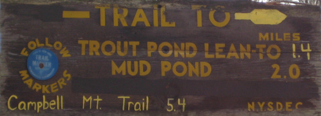
Mud and Trout Ponds from Russell Brook
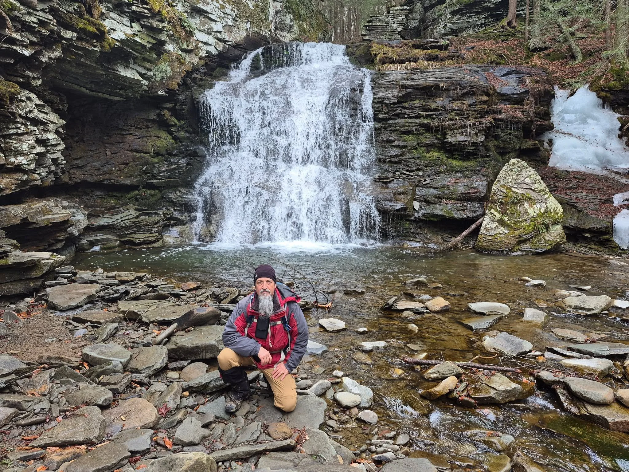
(A. Purdy)
This 12-mile hike features both trail and bushwhack and will include a dip at Russell Brook Falls. This event may be of particular interest to those seeking to complete the Catskills All Trails Challenge. Rated as difficult, this outing is expected to take about 9.5 hours. The day’s pace will be moderate (about 1-1/2 mph moving pace) with short breaks.
Participants need to bring lunch/ snacks, plenty of water/ sports drink, rain gear, sturdy shoes, insect repellent, and sunscreen, hiking poles (recommended), and headlamp with extra batteries (just in case). This hike is limited to 12 participants and registration is required. To register, contact hike leader Marv Freedman at marvfreedman@gmail.com by August 26. Please include your cell number in your registration request. Dogs are permitted with the permission of the event leader.
We will meet at 8am at the Russell Brook Parking Area (and then shuttle to beginning of the hike at Campbell Mountain Road).
From the junction of State Route 30 and State Route 206/ CoHwy 7 (just east of Downsville), take 206/7 south for 8.9 miles and turn right onto Morton Hill Road. Continue 3.1 miles to Russell Brook Road, turn left, and continue to the parking area.
Driving directions. From the traffic light in Roscoe take State Route 206 north for 2.37 and turn left onto Morton Hill Road. Continue 3.1 miles to Russell Brook Road, turn left, and continue to the parking area.
GPS Coordinates: 41.994349, -74.941469
Google Maps link: https://maps.app.goo.gl/iN6Jnjmc9NEeFjhn9
Note, meeting place and time, route details, and required gear are subject to change based on weather forecast, trail conditions, etc. Updated information will be provided via email, usually about four days before the hike.

Balsam Lake Mountain

(Photo by D. Felicetta)
This seven-mile hike will begin at Millbrook Road, visit the fire tower at the summit, and include the complete Balsam Lake Mountain Trail. Rated as moderate-difficult, the expected duration of the outing is four-to-five hours. Participants need to bring lunch/ snacks, water/ sports drink, rain gear, sturdy hiking shoes, sun and insect protection, a head lamp, and hiking poles (recommended).
This hike is limited to 12 people and registration is required. To register, contact Al Purdy at Albertpurdy1@aol.com or (845) 514-0919 by August 21. Please note, dogs are not permitted on this hike, and poor weather conditions will postpone the hike.
Directions to Millbrook Road Parking Area: From NYS Thruway Exit 19 Kingston, turn right onto Route 28 and follow for 33 miles. Turn left at Highmount/ Belleayre Ski Center onto route 49a for 5 miles. Turn left onto Dry Brook Road for 1.25 miles, then turn right onto Millbrook Road for 2.0 miles to the DEC parking area on the right.
From Route 28 west, continue 1.2 miles past Bridge Street, Margaretville, see sign for Dry Brook Ridge, and turn right on Dry Brook Road. Continue on Dry Brook Road for six miles, turn right onto Millbrook Road, and continue about two miles until you see the sign for the parking area at the top of the hill.
GPS Coordinates for Millbrook Road Parking Area: 42.07009, -74.57412
Google Maps link: https://maps.app.goo.gl/KALiARjWnhkPDsv1A
Vly & Bearpen am, Halcott pm
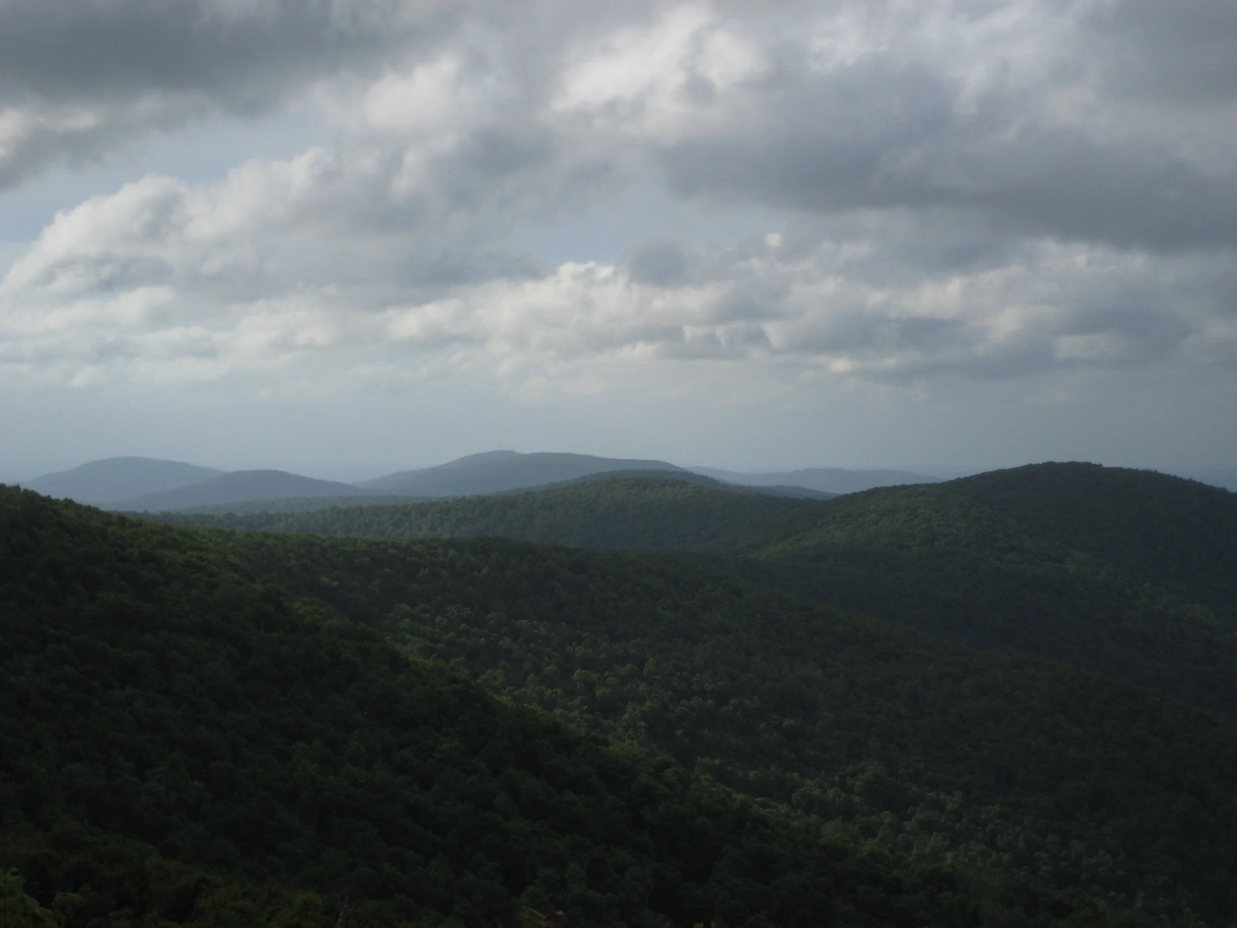
Join Marv Freedman and other hikers for this two-part outing to three high peaks. The day begins with a non-DEC trail hike to Vly Mountain (3541’) and Bearpen Mountain (3587’). The morning distance is 6.5 miles and the elevation gain is 2100’. This will be followed by a short, steep bushwhack in the afternoon to Halcott Mountain (3509’.) The afternoon distance is 3.5 miles, and the elevation gain is 1700’. The day’s pace will be moderate (about 1-1/2 mph moving pace) with short breaks. Overall mileage is 10 miles, and the duration will be about eight hours. Fit beginners are welcome to join. The day’s hikes are rated as moderate-to-difficult.
Participants should bring lunch, hiking poles (recommended), headlamp, water, sports drink, snacks, insect repellent, and sunscreen. This hike is limited to 12 participants and registration is required. To register, contact hike leader Marv Freedman at marvfreedman@gmail.com by August 22. Please include your cell number in your registration request. Dogs are permitted with the permission of the event leader.
Directions: Parking is limited at the morning trailhead, so we'll meet in the parking area across from the Highmount Post Office at 8 Galli Curci Road, in Highmount NY, just off of State Route 28 and at the base of the Belleayre Ski Center. From the east, Highmount is located 37 miles west of the NYS Thruway Exit 19 (Kingston) on Route 28 at the top of the hill. From the west, Highmount is located 8.2 miles east of the village of Margaretville at the top of the hill. For the afternoon hike, we'll caravan to the Halcott parking area on Rt 42.
GPS Coordinates to parking lot across from Highmount Post Office: 42.14680, -74.49486
Google Maps link: https://maps.app.goo.gl/fAvYWAKNkFYp9ZYg6
Additional Info: Meeting place and time, route details, and required gear are subject to change based on weather forecast, trail conditions, etc. Updated information will be provided via email, usually about four days before the hike.

Colgate Lake Trail
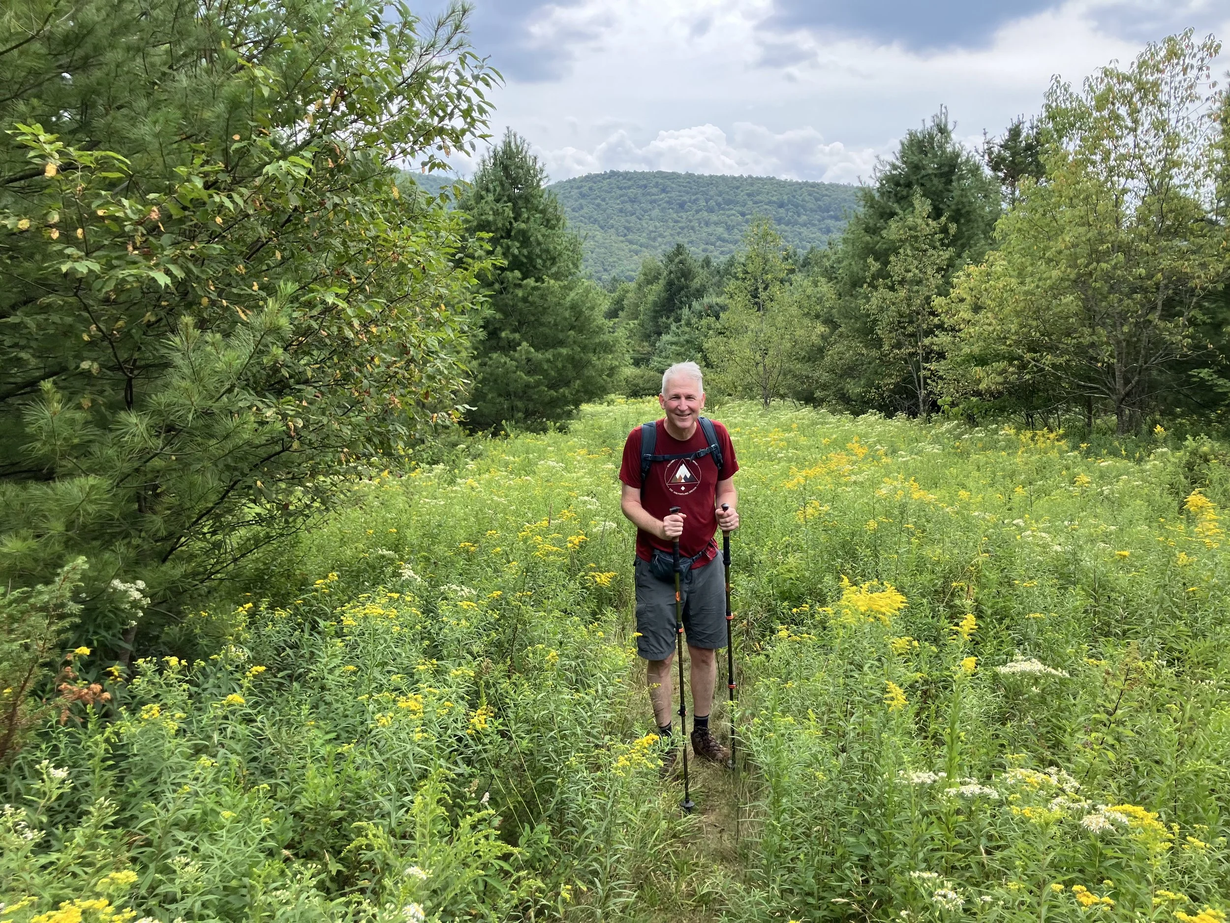
(H. Dircks)
This event includes a swim in Colgate Lake after an 8.6-mile hike that will cover the entire Colgate Lake Trail. This scenic outing in the northern Catskills may be of particular interest to those undertaking the Catskills All Trails Challenge. Rated as moderate, this hike>swim is expected to take six-to-seven hours. We will hike at a moderate pace (about 1-1/2 mph moving speed) with steep climbs, and short breaks. Hikers need to bring lunch/ food, plenty of water/ sports drink, rain gear, sun and insect protection, sturdy hiking shoes, and hiking poles (recommended).
This hike is limited to 12 people and registration is required by August 19. To register, contact Marv Freedman at marvfreedman@gmail.com Please include your cell number in your registration request. Dogs are permitted with the permission of the event leader. Note, meeting place and time, route details, and required gear are subject to change based on weather forecast, trail conditions, etc. Updated information will be provided via email, usually about two to four days before the hike.
We will meet, ready to hike, at the Colgate Lake Trailhead at 8am.
Driving directions: From Route 23A in Tannersville (at traffic light), turn north onto County Highway 23C and continue 2.1 miles. At the stone church stay left, continue on 23C for 1 mile, and then turn right onto Colgate Lake Road. Continue on Colgate Lake Road for 1.5 miles to trailhead.
Google Maps link: https://maps.app.goo.gl/rFkGY4ASWYMGEaSq8
GPS Coordinate: 42.238311, -74.1163941

Indian Head and Twin Mountains
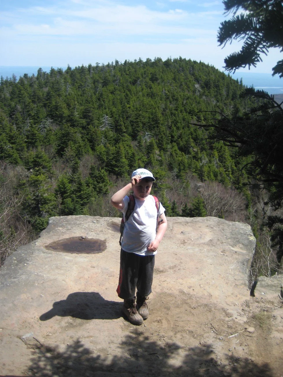
This scenic and challenging 8.5-mile hike will reach two high peaks along the Devils Path Range. Rated as difficult and expected to take six-to-eight hours, this hike is limited to 12 people and registration is required. To register, contact Al Purdy at Albertpurdy1@aol.com or (845) 514-0919 by August 14.
Participants need to bring lunch/ snacks, plenty of water, sports drink, insect and sun protection, sturdy hiking shoes, poles (recommended), and a head lamp (just in case). Please note: dogs are not permitted on this hike; and, poor weather conditions may postpone the hike.
We will meet, ready to hike, at 8am at the Prediger Road Trailhead.
Driving directions: To reach the trailhead from State Route 23A westbound, enter Tannersville, bear left on South Main St., stay left on Spruce (becomes Platte Clove Rd.) and at 1.5 miles stay left on Platte Clove Road and continue another 4.2 miles. Turn right on Prediger Road, following the signs for forest preserve parking near the end of the road.
From Route 23A eastbound, take a right on Bloomer Road (.6 miles after the 23A/ 214 jnctn). Just after a mile stay to the right at the yield signs and onto Platte Clove Road (Co. Hwy. 16). Continue 4.3 miles and turn right on Prediger Road, following the signs for forest preserve parking near the end of the road.
From State Route 212 west of Saugerties, turn north at Centerville onto Blue Mountain Road. Take this road1.45 miles, turn left onto West Saugerties Rd. Continue through West Saugerties (less than two miles) and the road will pitch sharply upward. Continue to the top of this mountain pass. Turn left on Prediger Road, which is 5.2 miles from the beginning of West Saugerties Road. Follow the signs for forest preserve parking near the end of the road.
GPS Coordinates to Prediger Road Trailhead: 42.13397, -74.10435
Google Maps link to Prediger Road Trailhead: https://maps.app.goo.gl/NSeYvy881vdzc3nZ9
Balsam Lake Mountain via Mill Brook Ridge from Alder Lake
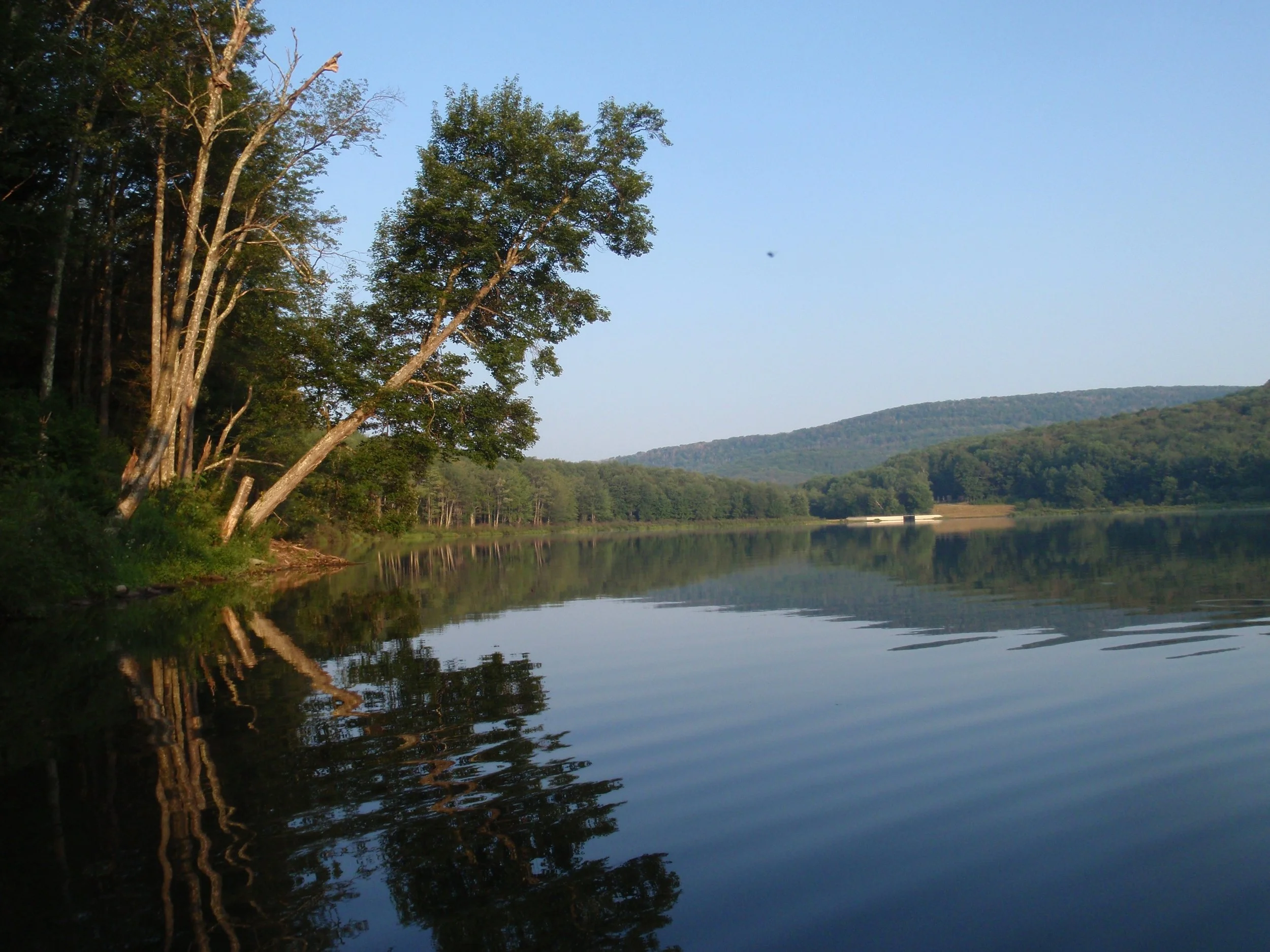
This is a beautiful trail hike, beginning at Alder Lake and incorporating many scenic spots including Beaver Meadow and the fire tower atop Balsam Lake Mountain. At 8.8 miles in length and an approximate duration of seven hours, this hike is rated as moderate-difficult. The day’s pace will be moderate (about 1-1/2 mph moving pace) with short breaks. Fit beginners are welcome to join this hike.
Participants should bring lunch/ snacks, plenty of water and sports drink, sun and insect protection, hiking poles (recommended), rain gear, and a headlamp. This hike is limited to 12 participants and registration is required. To register, contact hike leader Marv Freedman at marvfreedman@gmail.com by August 15. Please provide your cell phone number when registering. Dogs are permitted with the permission of the event leader.
We'll meet at the Balsam Lake parking area at the end of Beaver Kill / Turnwood Road no later than 8:30 am. This is where our hike will end. We'll leave most cars there and will caravan to the Alder Lake parking area to start our hike.
Directions: From NYS Thruway Exit 19 (Kingston) turn right onto State Route 28 west and follow for 46.3 miles. Turn left onto route 30 follow for 8.3 miles. After crossing the Pepacton Reservoir, turn left immediately onto BWS road 8 for 1.9 miles. Stay right as BWS becomes Barkaboom Road - continue for 6.3 miles. Turn left onto Beaverkill Road follow for 9.5 miles to its end. The parking area will be on your right.
From Old Rte. 17 (west of Livingston Manor), take Beaverkill Road north. At 10.8 miles stay right and continue for another 9.5 miles to the end of the road. The parking area will be on your right.
Google Maps Link to meeting location: https://maps.app.goo.gl/qL5gF4VKWma31RZ38
GPS coordinates of meeting location: 42.023958, -74.599684

West Kill Mountain – Diamond Notch > Stony Clove Notch

Join Marv Freedman and friends for this one-way, 11-mile hike in the Hunter-Westkill Wilderness. Rated as moderate-to-difficult, this outing may also be of interest to those seeking to complete the Catskills All Trails Challenge. We will hike at a moderate pace (about 1-1/2 mph moving speed) with steep climbs, and short breaks. The hike is expected to take about nine hours. Hikers need to bring lunch/ food, plenty of water/ sports drink, rain gear, sun and insect protection, headlamp, and hiking poles (recommended).
This hike is limited to 12 people and registration is required by August 12. To register, contact Marv Freedman at marvfreedman@gmail.com Please include your cell number in your registration request. Dogs are permitted with the permission of the event leader. Note, meeting place and time, route details, and required gear are subject to change based on weather forecast, trail conditions, etc. Updated information will be provided via email, usually about two to four days before the hike.
We will meet, ready to shuttle at 8 am, at the Notch Lake Parking Area. (Note, a parking fee at Notch Lake may apply.) From here, we will shuttle to the Diamond Notch Parking Area.
Driving directions: From State Route 28 at Phoenicia take State Route 214 north for 9.5 miles and the Notch Lake Parking Area is on the left.
From State Route 23-A, turn south onto State Route 214 for 2.85 miles and the Notch Lake Parking Area is on the right.
Google maps link to Stony Clove Parking Area:
https://maps.app.goo.gl/P5UCa6RN2t19g6Sx5
GPS Coordinates: 42.159560, -74.203313

Little Pond/ Beaverkill Overlook
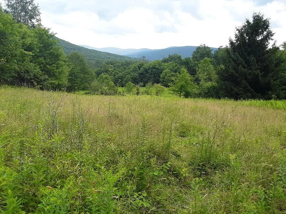
Little Pond Trail (A. Purdy)
Al Purdy will lead this short hike (4.9 miles) beginning and ending at the Little Pond Campground. The hike will include the Beaverkill Overlook on the Touch-Me-Not-Trail. We will also cover the entirety of Little Pond and Campground Trails for the Catskills All Trails Challenge. Rated as moderate-to-difficult, due to two challenging climbs, this outing is expected to take less than four hours.
Participants need to bring lunch/ snacks, water/ drink, as well as sturdy hiking shoes, rain gear, insect and sun protection, a headlamp (just in case), and hiking poles (if desired). This hike is limited to 12 people, and registration is required by August 7. To register, contact Al Purdy at Albertpurdy1@aol.com or (845) 514-0919. Please note, dogs are not permitted on this hike; and severe weather on the day of the hike could postpone the hike. Also note, the $8 fee or Empire Pass to enter the Little Pond Day Use Area, includes use of the beach.
Driving Directions
From NYS Route 30 heading south, cross the Bridge over the Pepacton Reservoir and turn left. Continue for 1.9 miles. Stay right onto Barkaboom Road for six miles until the right turn and sign for Little Pond. Continue straight after the booth and gate and it’s 250’ to the southeast parking lot.
From NYS Route 30 heading north, turn right just before the bridge over the Pepacton Reservoir. Continue for 1.9 miles. Stay right onto Barkaboom Road for six miles until the right turn and sign for Little Pond. Continue straight after the booth and gate and it’s 250’ to the southeast parking lot.
From Old Route 17 (just west of Livingston Manor), take the Beaverkill Road for 10.8 miles and turn left and continue over the Beaverkill. In a short distance, you will see the sign and left turn for the Little Pond Campground.
GPS Coordinates to meeting location: 42.037834, -74.743659
Google Maps link to meeting location: https://maps.app.goo.gl/YGiM3TxmGZfqhBQ37
Shingle Gully am Vernooy Falls pm
(NYS Parks)
Shingle Gully is a protected primitive area within the Sam's Point Area of Minnewaska State Park Preserve. This rugged, protected landscape is accessible only on guided tours led by volunteer docents. Our hike will be about 4 to 4-1/2 miles long, and will ascend and descend about 1500 feet, on a combination of carriage roads, long rock scrambles, and off-trail bushwhacks. You must be fit, and comfortable with heights, tight spaces, open ledges, and poor footing.
This hike is limited to 12 people, and registration is required by August 8. To register, contact Marv Freedman at marvfreedman@gmail.com Please include your cell number in your registration request. Dogs are not permitted on this hike. Note, meeting place and time, route details, and required gear are subject to change based on weather forecast, trail conditions, etc. Updated information will be provided via email, usually about two to four days before the hike.
Optional hike to Vernooy Kill Falls in the afternoon.
Google Maps link to starting location/ Berme Park: https://maps.app.goo.gl/RCrWL2KHAidywQfy9
GPS Coordinates to starting location/ Berme Park: 41.713426, -74.382708
Directions: From the junction of State Route 52 and US Route 209 in Ellenville, take Rte. 52 east for one half mile and turn left onto Broadhead St. Proceed .15 of a mile (becomes Berme Road) and make the second right onto the drive that leads up to the parking area for Berme Park.
Sugarloaf Mountain
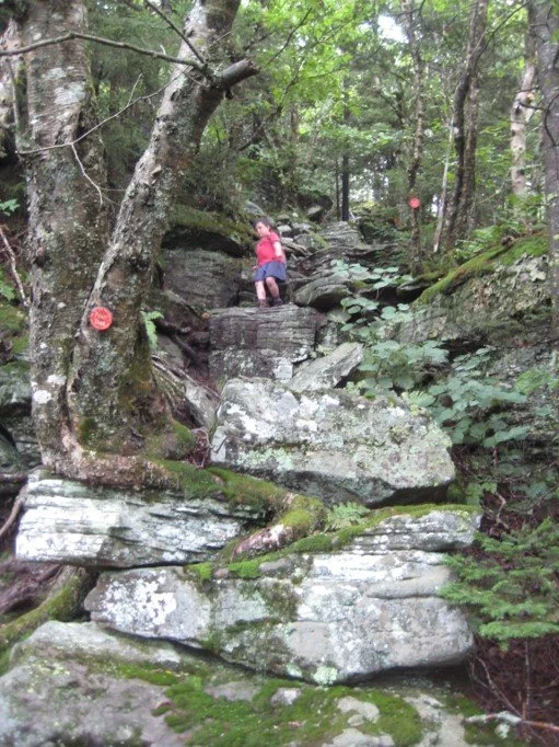
We’ll tackle this high peak via the Pecoy Notch and Mink Hollow Trails, along with the section of the Devil’s Path that traverses the summit. This is a rugged seven-mile hike, ranked as moderate-difficult with about 1700’ in elevation gain. Hikers joining this outing need to bring lunch/ snacks, plenty of water/ sports drink, sun and insect protection, rain gear, and hiking poles (recommended). The hike is expected to take about six hours. The pace of the hike will be moderate (about 1-1/2 mph moving speed, typically) with steep climbs, and short breaks.
This hike is limited to 12 people and registration is required. To register, contact Marv Freedman at marvfreedman@gmail.com by August 5. Please include your cell number in your registration request. Dogs are permitted with the permission of the event leader. Note, meeting place and time, route details, and required gear are subject to change based on weather forecast, trail conditions, etc. Updated information will be provided via email, usually about two to four days before the hike.
We’ll meet ready to hike at 8am at the Roaring Kill Trailhead.
Driving Directions to Roaring Kill Trailhead: To reach the trailhead from State Route 23A east in Tannersville, bear left on South Main St., stay left on Spruce (becomes Platte Clove Rd.) and at 1.5 miles stay left on Platte Clove Road and continue another 3.3 miles to Dale Lane. Turn right on Dale Lane and continue just over a mile to the trailhead which is on the left.
From Route 23A west, take a right on Bloomer Road (.6 miles after the 23A/ 214 jnctn). Just after a mile stay to the right at the yield signs and onto Platte Clove Road (Co. Hwy. 16). Continue 3.3 miles to Dale Lane. Turn right on Dale Lane and continue just over a mile to the trailhead which is on the left.
The Roaring Kill Trailhead can also be reached from State Route 212 between Woodstock and Saugerties. In Centerville, turn north onto Blue Mountain Road. In 1.5 miles turn left onto West Saugerties Road. From this intersection continue through the residential area and climb the steep mountain. At 6.25 miles turn left on Dale Lane and continue just over a mile to the trailhead which is on the left.
GPS Coordinates: 42.151117, -74.131064
Google Maps link: https://maps.app.goo.gl/mdycr6RJ2iGQrLBc7


Blackhead, Black Dome & Thomas Cole Mountains (NOTE NEW DATE)
This one-way hike will traverse three Catskill High Peaks: Blackhead (3940'), Black Dome (3994'), and Thomas Cole (3953'). Rated moderate-difficult, this 7.3-mile hike is expected to take six hours. We will hike at a moderate pace (about 1-1/2 mph moving speed) with steep climbs, and short breaks. Hikers need to bring lunch/ food, plenty of water/ sports drink, rain gear, sun and insect protection, headlamp, and hiking poles (recommended).
This hike is limited to 12 people and registration is required by July 31. To register, contact Marv Freedman at marvfreedman@gmail.com Please include your cell number in your registration request. Dogs are permitted with the permission of the event leader. Note, meeting place and time, route details, and required gear are subject to change based on weather forecast, trail conditions, etc. Updated information will be provided via email, usually about two to four days before the hike.
We will meet at the end of Barnum Road, ready to shuttle by 8:00 am. This is where our hike will end. We'll leave most cars here and will caravan to the parking area near the end of Big Hollow Road to start our hike. Please do not park in the snowplow turn-around or block any driveway.
GPS Coordinates are 42.26399, -74.17666
Google Maps link: https://maps.app.goo.gl/G727Db4fcoc5uGrz8
Directions to Barnum Road: From NYS Thruway (87) Saugerties/ Exit 20, turn right on 32 North for six miles and keep straight onto NY-32A. Take NY-32A for 0.6 miles, bear left onto NY-23A. Take Route 23A for 5.5 mi. and turn right onto Co. Hwy 25. At 2.8 mi. stay right onto Co. Hwy 23C; in another four miles turn right onto Co. Hwy 40. In 1.1 mi. turn right onto Hauser Rd for 0.5 mi./ end. Turn right onto Barnum Road and trailhead parking is 0.4 mi.
From NY-23 in Windham, take 23 east to NY-296; turn right on 296 and take 1.5 miles and stay straight (296 goes left) onto Co. Hwy 40 (Maplecrest Rd.) and continue two miles to Maplecrest. Turn right, staying on Hwy 40, climb the hill for .3 of a mile and turn left onto Barnum Rd. Continue to trailhead parking (0.4 mi.).
From NY-23 in East Windham, take 23 west to Co. Hwy 65 and turn left onto 65A. Take 65A, this merges with Co. Hwy. 40, and continue three miles to Maplecrest. Turn right, staying on Hwy 40, climb the hill for .3 of a mile and turn left onto Barnum Rd. Continue to trailhead parking (0.4 mi.).
Cross Mountain, Mount Pleasant, and Romer Mountain
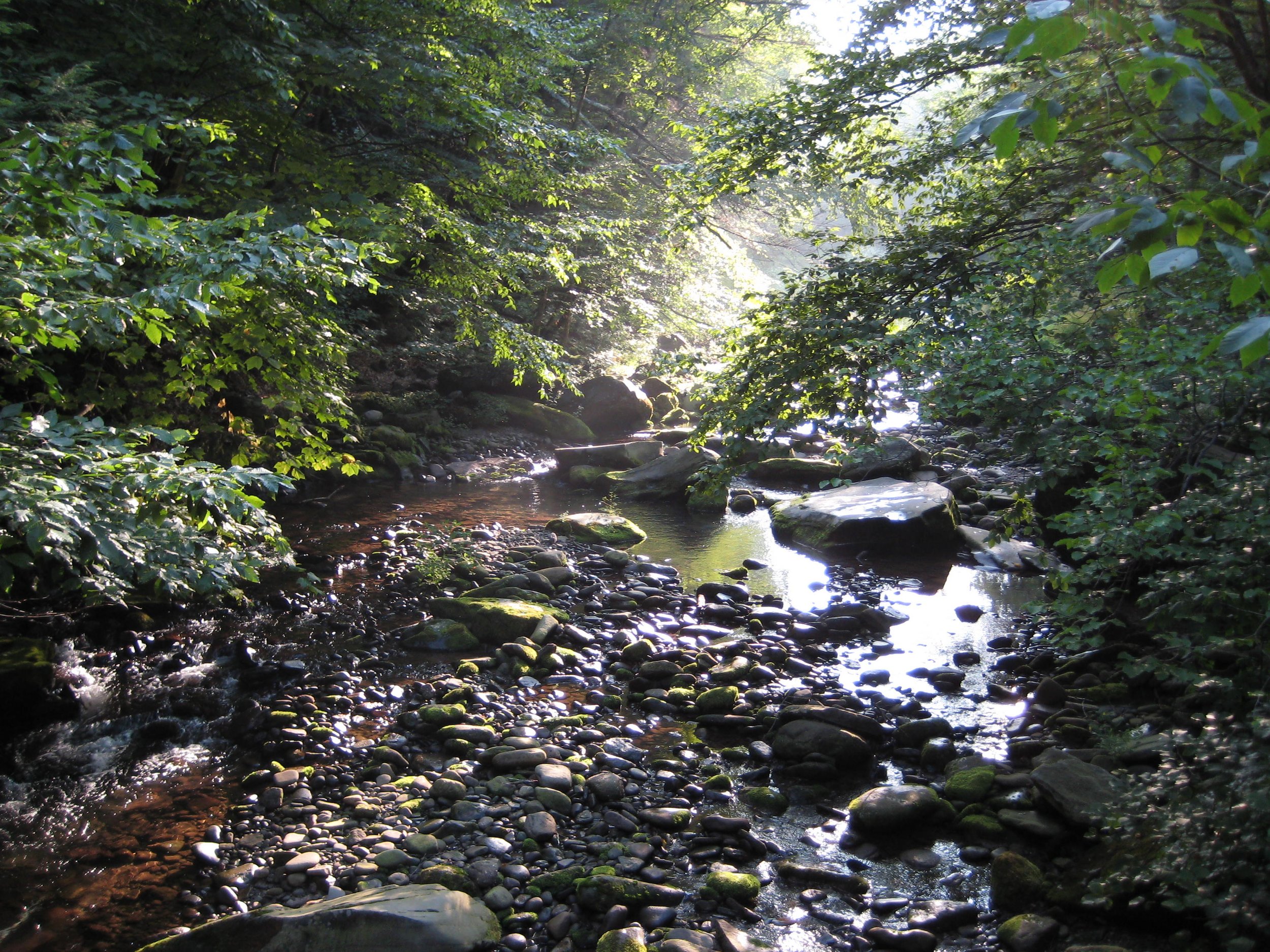
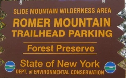
Take this amazing, one-way, 11.6-mile hike along one of the Catskills’ “newer” trails. Led by Al Purdy and rated as difficult, this outing will take eight-to-ten hours. This hike may be of particular interest to those working on the Catskills All Trails Challenge, as it will complete this section of the blue-marked Phoenicia-East Branch Trail.
Participants need to bring plenty of/ extra water/ drink, as well as food/ snacks, sturdy hiking shoes, rain gear, insect and sun protection, a headlamp (fresh/ extra batteries), and hiking poles (if desired). This hike is limited to 12 people, and registration is required by July 24. To register, contact Al Purdy at Albertpurdy1@aol.com or (845) 514-0919. Please note, dogs are not permitted on this hike; and severe weather will postpone the hike.
We will meet at the Romer Mountain Trailhead Parking Area, at the end of Lane St. in Phoenicia. This is where our hike will end. From here we will car shuttle five miles to the beginning of the hike in Woodland Valley. There may be a fee to park at/ near the Woodland Valley Campground.
Directions: From NYS Thruway Exit 19/ Kingston take route 28 west for 22.2 miles. Merge right onto Bridge Street for 0.2 miles. Turn left onto High Street and go 0.5 miles. Turn left onto Lane Street and go 0.1 miles to the Romer Mountain Parking Area. (If you’re coming from the west on Route 28, Bridge Street is the second entrance to Phoenicia, after the causeway over the Esopus Creek.)
GPS Coordinates to Romer Mountain Trailhead: 42.07821, -74.31908
Google Maps link: https://maps.app.goo.gl/aq8S3hpvct2UbJ7EA

Bovina 5K Run, Walk, and Kids Run

We welcome you to participate in the third annual Bovina 5K. This is a family-friendly event held in beautiful and historic Bovina Center. After supporting the FD/ EMS and Playground Renovation in its first two years, this year’s event will support the Catskill Mountain Club in exploring the feasibility of two new hiking trails in Bovina.
We’d like to thank all partners, including the Livestock Foundation, the town of Bovina, community volunteers, event sponsors, and the A. Lindsay and Olive B. O’Connor Foundation.
Register HERE

Southwest Hunter, Hunter & Rusk Mountains
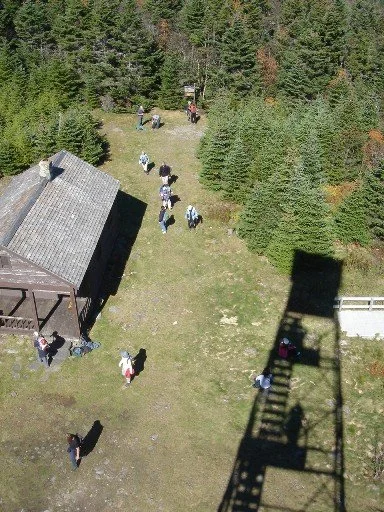
This 13-mile trail and bushwack hike will reach three high peaks: SW Hunter (3753'), Hunter (4030'), and Rusk (3680'). The moving pace will be average -- about 1-1/2 mph, with short breaks. With a total elevation gain of about 3200' and a duration of ten hours, this hike is rated as difficult.
Participants need to bring lunch, water, sports drink, snacks, insect repellent, sunscreen, sunglasses, sturdy hiking shoes, rain gear, extra layers, headlamp, and hiking poles (recommended). This hike is limited to 12 people, and registration is required. To register, contact Marv Freedman at marvfreedman@gmail.com by July 25. Please include your cell number in your registration request. Dogs are permitted with the permission of the event leader. Note, meeting place and time, route details, and required gear are subject to change based on weather forecast, trail conditions, etc. Updated information will be provided via email, usually about four days before the hike.
Meet, ready to hike, no later than 8:00 am at the Spruceton Trail Parking Lot.
Directions: From NYS Thruway Exit 19 (Kingston) merge onto NY 28 west for 27.6 miles. Then take State Route 42 north for 7.3 miles then turn right on County Hwy 6 (Spruceton Road) in West Kill and take this road 6.8 miles to the Spruceton Trail Parking Lot about 1/10 mile before the end of Spruceton Rd. Please do not park in the turnaround at the end of the road.
From State Route 23A at Lexington, take State Route 42 south for 4.1 miles then turn left on County Hwy 6 (Spruceton Road) in West Kill and take this road 6.8 miles to the Spruceton Trail Parking Lot on the right, about 1/10 mile before the end of Spruceton Rd. Please do not park in the turnaround at the end of the road.
GPS Coordinates of Diamond Notch Parking Lot (Meeting Place): 42.182385, -74.269461
Google Maps Link for Diamond Notch Parking Lot (Meeting Place): https://maps.app.goo.gl/JJCh9hdDycPUAfoF6
Willowemoc Trails
(A. Purdy)
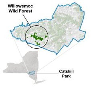
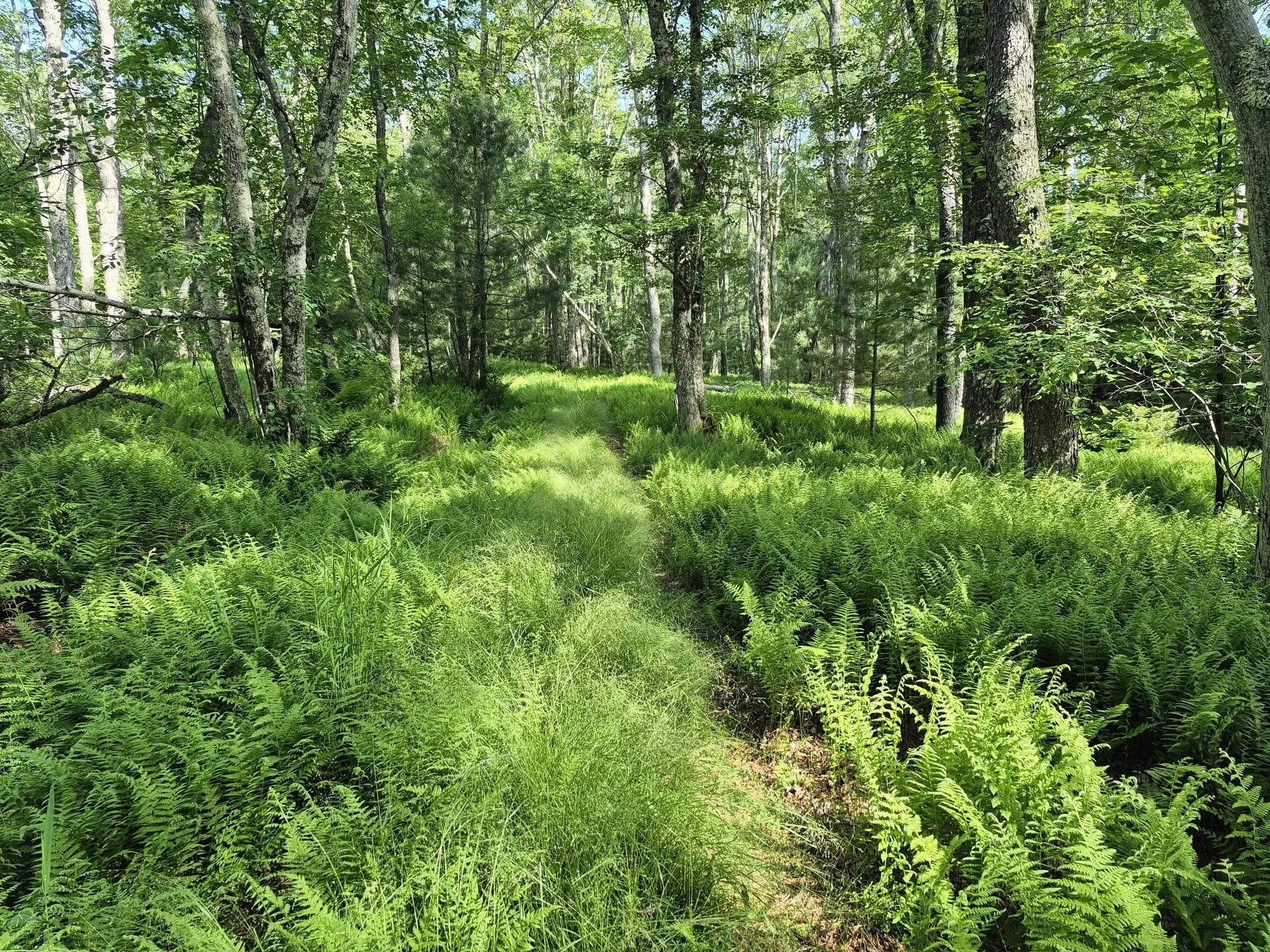
Here’s a lengthy outing that may be of particular interest to those working to complete the Catskills All Trails Hiking Challenge. Led by Marv Freedman and rated as difficult, this 18-mile hike will cover these trails: Quick Lake west of Coyote Junction; Flynn; Loggers Loop; and Big Rock. The day’s pace will be moderate (about 1-1/2 mph moving pace) with short breaks. This hike is expected to take 12 hours. There will be a possible swim in Hodge Pond.
Participants need to bring lunch/ snacks, plenty of water (at least 1.5-2 liters), sports drink, sun and insect protection, hiking poles (recommended), sturdy hiking shoes, and a headlamp (with extra batteries). This hike is limited to 12 participants and registration is required. To register, contact hike leader Marv Freedman at marvfreedman@gmail.com by July 22. Please include your cell number in your registration request. Dogs are permitted with the permission of the event leader.
Directions:
We will meet at the Frick Pond Trailhead, ready to hike at 8am.
From NYS Route 17 westbound, take exit 96W and turn left onto DeBruce Road. Continue on DeBruce Road 5.6 miles to Mongaup Road. Turn left onto Mongaup Road and drive 2.7 miles to where the road splits. Stay left on Beech Mountain Road and drive .3 miles to the parking area on the left.
From NYS Route 17 eastbound, take exit 96E and turn right at the end of the exit. Proceed .1 mile to stop sign, turn left, then take the next left onto DeBruce Rd. You will soon see a "red caboose" on left. Continue on DeBruce Road 5.6 miles to Mongaup Road. Turn left onto Mongaup Road and drive 2.7 miles to where the road splits. Stay left on Beech Mountain Road and drive .3 miles to the parking area on the left.
From the NYS Thruway Exit 19 (Kingston) turn right onto Route 28 west, go one-half mile and turn right onto US 209 south. Take 209 south for 25 miles and turn right onto State Route 55 in Napanoch. Take 55 West for 16.1 miles and turn right onto Sullivan County Hwy 19 (Claryville Road). Go 2.7 miles and turn left onto Hunter Rd. Take Hunter Rd. for 5.5 miles and turn left onto Willowemoc Rd. Take Willowemoc Rd. for 3.6 miles and turn right onto Mongaup Rd. for 2.7 miles. Continue straight onto Beech mountain road 0.3 miles to the Frick Pond parking area.
GPS Coordinates to Frick Pond Trailhead (meeting location): 41.950925, -74.707165
Google Maps link: https://maps.app.goo.gl/iaCPDhZ2r9Eh5UXy6?g_st=ic
Additional Info: Meeting place and time, route details, and required gear are subject to change based on weather forecast, trail conditions, etc. Updated information will be provided via email, usually about four days before the hike.

Hike to Diamond Notch Trail and Falls
Join Al Purdy and friends for this out-and-back, 5.7-mile hike in the Hunter-West Kill Wilderness. We will cover the entire Diamond Notch Trail (especially for hikers working on the Catskills All Trails Challenge) and visit Diamond Notch Falls. This hike is rated moderate-to-difficult and is expected to take four hours.
Participants need to bring plenty of water/ drink, as well as food/ snacks, sturdy hiking shoes, rain gear, insect and sun protection, and hiking poles (if desired). This hike is limited to 12 people, and registration is required by July 17. To register, contact Al Purdy at Albertpurdy1@aol.com or (845) 514-0919. Please note, dogs are not permitted on this hike; and severe weather will postpone the hike.
Driving Directions: We’ll meet at the Diamond Notch Parking Lot at 9:00 am.
From NYS Thruway Exit 19 (Kingston) merge onto NY 28 west for 27.6 miles. Then take State Route 42 north for 7.3 miles then turn right on County Hwy 6 (Spruceton Road) in West Kill and take this road 6.8 miles to the Diamond Notch Parking Lot on the right. (This is the last parking lot before the end of the road; do not park at the end of the road.)
From State Route 23A at Lexington, take State Route 42 south for 4.1 miles then turn left on County Hwy 6 (Spruceton Road) in West Kill and take this road 6.8 miles to the Diamond Notch Parking Lot on the right. (This is the last parking lot before the end of the road; do not park at the end of the road.)
GPS Coordinates: 42.182240 - 74.26955
Google Maps Coordinates: https://maps.app.goo.gl/3FQ4kZEAjqQ48Gt4A
Vly & Bearpen am Halcott pm
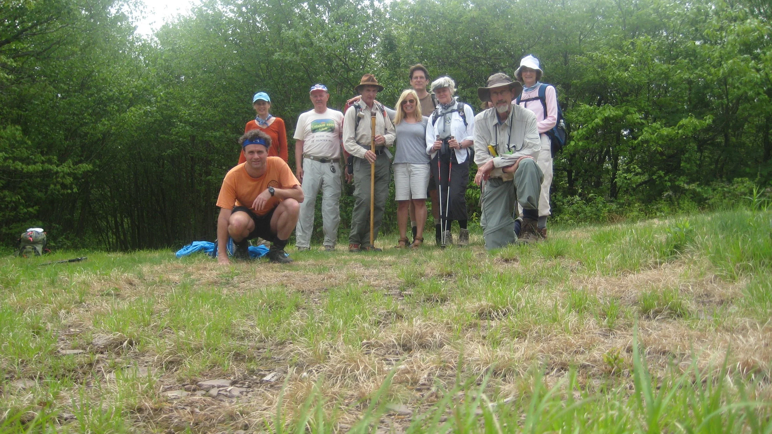
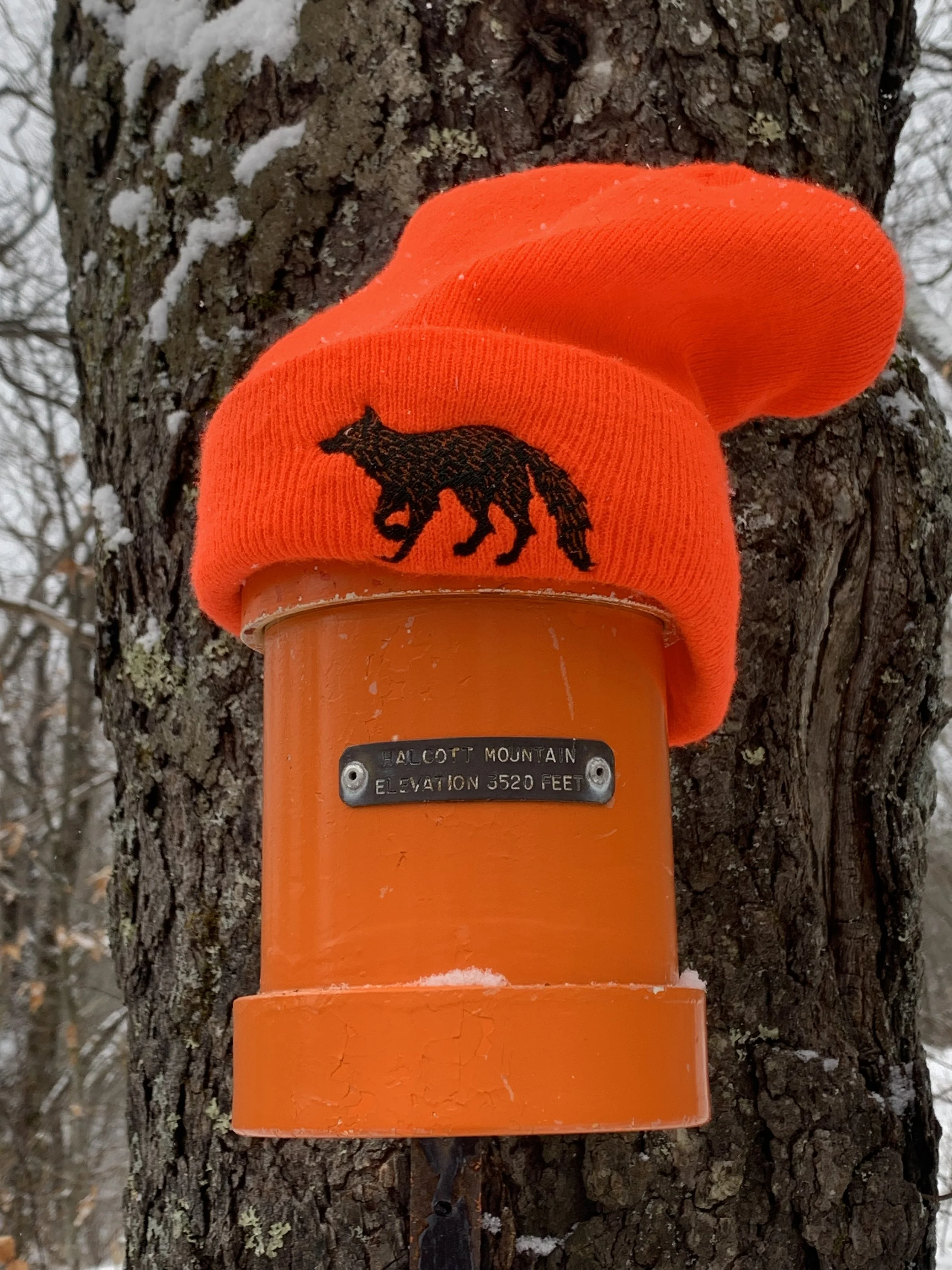
Join Marv Freedman and other hikers for this two-part outing to three high peaks. The day begins with a non-DEC trail hike to Vly Mountain (3541’) and Bearpen Mountain (3587’). The morning distance is 6.5 miles and the elevation gain is 2100’. This will be followed by a short, steep bushwhack in the afternoon to Halcott Mountain (3509’.) The afternoon distance is 3.5 miles, and the elevation gain is 1700’. The day’s pace will be moderate (about 1-1/2 mph moving pace) with short breaks. Overall mileage is 10 miles, and the duration will be about eight hours. Fit beginners are welcome to join. The day’s hikes are rated as moderate-to-difficult.
Participants should bring lunch, hiking poles (recommended), headlamp, water, sports drink, snacks, insect repellent, and sunscreen. This hike is limited to 12 participants and registration is required. To register, contact hike leader Marv Freedman at marvfreedman@gmail.com by July 18. Please include your cell number in your registration request. Dogs are permitted with the permission of the event leader.
Directions: Parking is limited at the morning trailhead, so we'll meet in the parking area across from the Highmount Post Office at 8 Galli Curci Road, in Highmount NY, just off of State Route 28 and at the base of the Belleayre Ski Center. From the east, Highmount is located 37 miles west of the NYS Thruway Exit 19 (Kingston) on Route 28 at the top of the hill. From the west, Highmount is located 8.2 miles east of the village of Margaretville at the top of the hill. For the afternoon hike, we'll caravan to the Halcott parking area on Rt 42.
GPS Coordinates to parking lot across from Highmount Post Office: 42.14680, -74.49486
Google Maps link: https://maps.app.goo.gl/fAvYWAKNkFYp9ZYg6
Additional Info: Meeting place and time, route details, and required gear are subject to change based on weather forecast, trail conditions, etc. Updated information will be provided via email, usually about four days before the hike.

Bramley Mountain
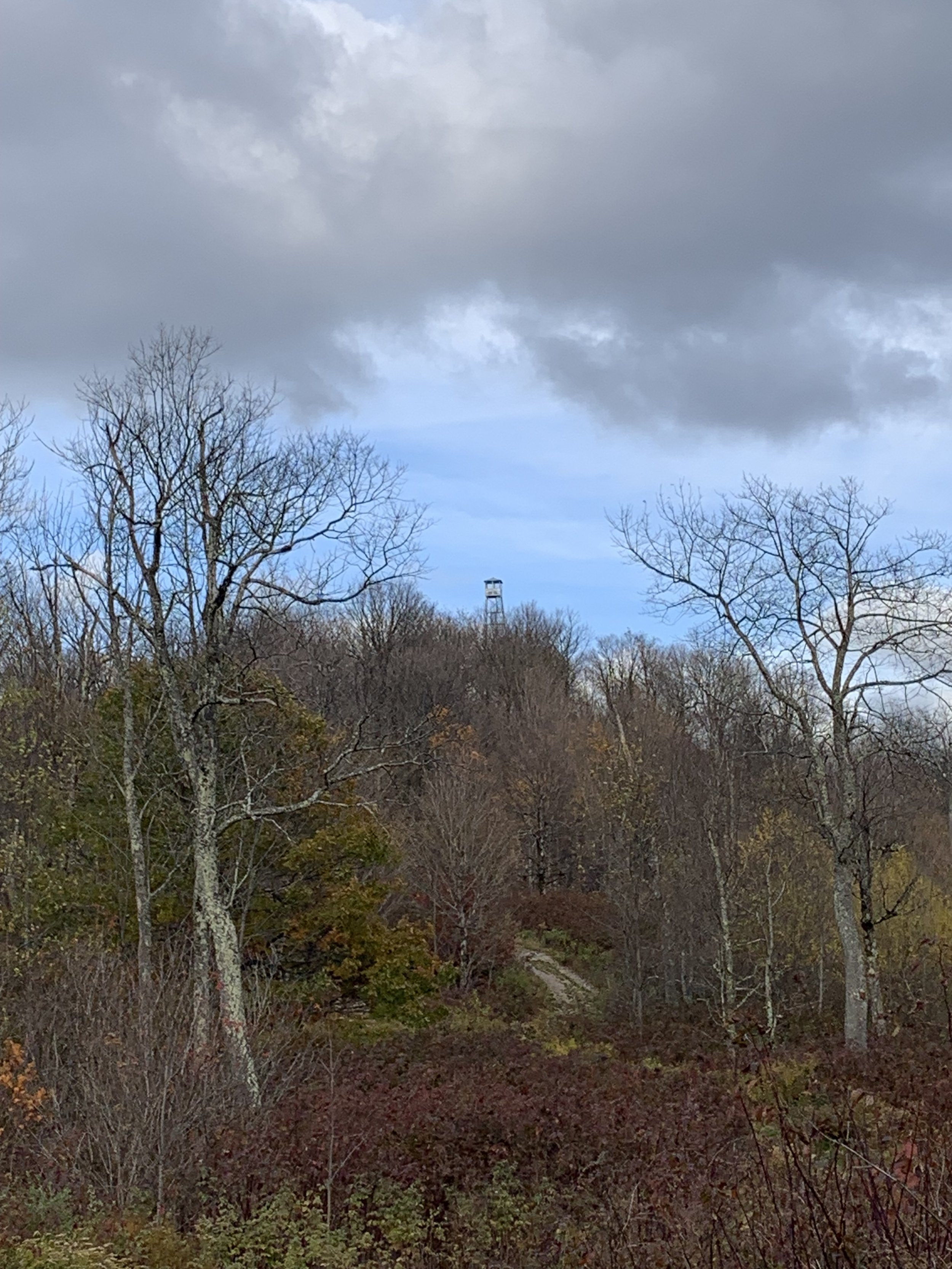
The easy-to-moderate hike is four miles in length and features a fire tower at the summit. The Bramley Mountain Fire Tower is one of eight needed to complete the Catskills Fire Tower Challenge. The day’s pace will be moderate (about 1-1/2 mph moving pace) with short breaks. The duration will be about two hours. Fit beginners are welcome to join. Lunch at the Strickland Hollow Tasting Room in Delhi will follow the hike. And, an afternoon hike to Mount Utsayantha in Stamford, also part of the Challenge, will be an option.
Hikers need to bring sturdy hiking shoes, snacks, water, sports drink, insect and sun protection, and hiking poles if desired. Registration is required for this event. To register, contact hike leader Marv Freedman at marvfreedman@gmail.com by July 15. Please include your cell number in your registration request. Dogs are permitted with the permission of the event leader.
We will meet, ready to hike, at 9am at the upper parking area on Glen Burnie Road in the town of Delhi.
The upper trailhead is located on Glen Burnie Road in Delhi, eight tenths of a mile from the intersection of Glen Burnie Road with County Hwy 18, or 3.2 miles from the intersection of Glen Burnie Road with State Rt. 28 between Delhi and Andes. There are signs for the turn onto Glen Burnie on both the county and state roads. Note, there are two parking areas; we will meet at the upper parking area, at the top of the road.
GPS Coordinates: 42.298562, -74.837617
Google Maps Link: https://maps.app.goo.gl/YUXj2ggAExYRvrfX8?g_st=ic

Colgate Lake to North Point and Scutt Road
(Photo by A. Purdy)
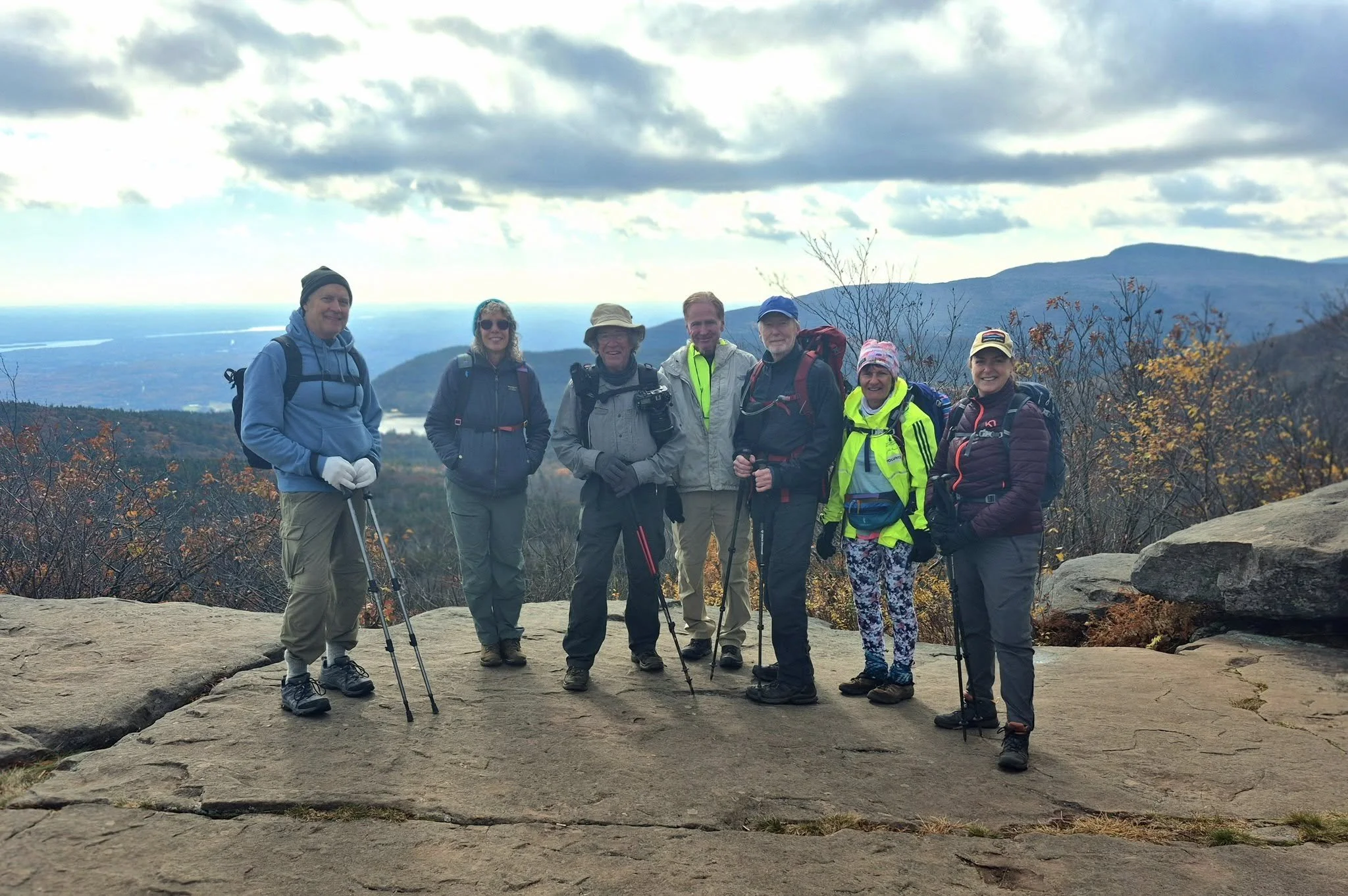
Join Al Purdy and hiker friends for this one-way, 11-miler in the Northern Catskills. This outing will cover the complete Colgate Lake and Rock Shelter Trails, as well as 4.9 miles of the Escarpment Trail for the Catskills All Trails Challenge. Rated as difficult, this hike is expected to take about nine hours. Participants need to bring lunch/ snacks, plenty of water/ drink, proper outer wear, layers, boots, gaiters, hiking poles (recommended), insect repellent, and sunscreen.
This hike is limited to 12 people, and registration is required by July 10. To register, contact Al Purdy at Albertpurdy1@aol.com or (845) 514-0919. Please note: dogs are not permitted on this hike; trail conditions can alter the route and pace/ overall duration of the hike; and poor weather conditions will postpone the hike.
We will meet at 8:00 am at the Scutt Road Parking Area to begin the shuttle to Colgate Lake.
Directions to Scutt Road PA: From NYS Thruway Exit 20/ Saugerties, take State Route 32 north for just under six miles. Bear left onto State Route 32A for 1.9 miles. At State Route 23A, turn left and continue up the clove for 4.9 miles. Turn right onto North Lake Road for 2.2 miles (going past Laurel House Rd) and turn right onto Scutt Road. The parking area will be on the right.
From State Route 23A west, continue 1.7 miles east past Tannersville and turn left onto North Lake Road. Proceed 2.2 miles (going past Laurel House Rd) and turn right onto Scutt Road. The parking area will be on the right.
GPS Coordinates: 42.20063, -74.05816
Google Maps Link: https://maps.app.goo.gl/FF2nDHfNud4QBNn

Friday, Balsam Cap, Rocky, Lone, Table & Peekamoose Mountains
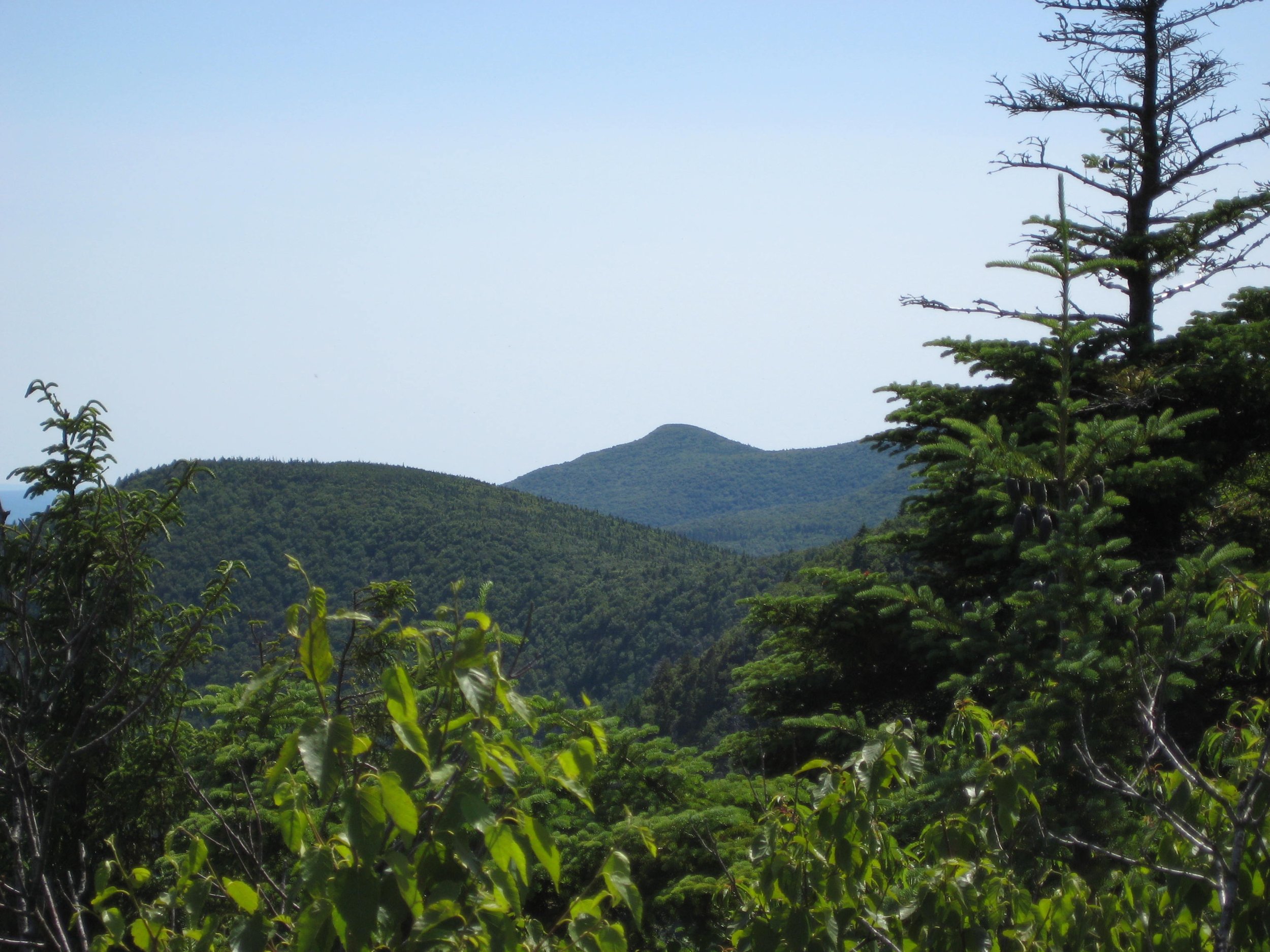
This challenging 12+ mile bushwhack and trail hike will traverse six peaks along the upper reaches of the East Branch of the Neversink Watershed. Expected to take about ten hours, this one-way hike is rated as difficult.
Participants need to bring lunch/ snacks, plenty of water/ sports drink, rain gear, insect repellent, sunscreen, hiking poles (recommended), and a headlamp (with extra batteries). The pace of the hike will be moderate (about 1-1/2 mph moving speed, typically) with steep climbs, and short breaks. This hike is limited to 12 participants and registration is required. To register, contact hike leader Marv Freedman at marvfreedman@gmail.com by July 11. Please include your cell number in your registration request. Dogs are permitted with the permission of the event leader. Note: meeting place and time, route details, and required gear are subject to change based on weather forecast, trail conditions, etc. Updated information will be provided via email, usually about two to four days before the hike.
Meet, ready to shuttle, no later than 8:00 am at the new Peekamoose Valley Riparian Corridor Parking Area on Peekamoose Rd. This is where our hike will end; we will shuttle from here to the beginning of the hike.
GPS Coordinates to Peekamoose Parking Area: 41.916840, -74.435834
Google Maps Link: https://maps.app.goo.gl/erGcCMej54RbHW196
Driving directions to the Peekamoose Valley Riparian Corridor Parking Area on Ulster County Hwy 42/ Peekamoose Rd. From State Route 28 in Boiceville, follow hiking signs and turn onto Route 28A. Go 3 miles on 28A and turn right in West Shokan. Drive about 10 miles west on Uls. Co. Hwy 42 (Watson Hollow Rd./ becomes Peekamoose Rd.) until you reach the new Peekamoose Valley Riparian Corridor Parking Area.

Dry Brook Ridge via German Hollow
Join Marv Freedman for this 8.3 miler to the 3460’ summit of Dry Brook Ridge. Rated as moderate-to-difficult, this hike includes a 2230’ ascent and is expected to take about seven hours.
Participants need to bring lunch/ snacks, plenty of water/ sports drink, rain gear, insect repellent, and sunscreen, and hiking poles (recommended). This hike is limited to 12 participants and registration is required. To register, contact hike leader Marv Freedman at marvfreedman@gmail.com by July 8. Please include your cell number in your registration request. Dogs are permitted with the permission of the event leader.
We will meet at 8am in the parking area behind Mornings Restaurant in Arkville on State Route 28 (closed on Wednesday).
Google Maps Link: https://maps.app.goo.gl/1ck2ACQEPDCTnHRQ9
GPS Coordinates: 42.147170, -74.620091
We'll leave most cars here and will drive in a single car to the closest parking available near the trailhead.
Driving directions: Arkville is located 42 miles west of the traffic circle at Exit 19 (Kingston) of the NYS Thruway. Mornings Restaurant is on the left. From Route 28 west, Arkville is about 1.5 miles past Margaretville and Mornings Restaurant is on the right.
Additional Info: Meeting place and time, route details, and required gear are subject to change based on weather forecast, trail conditions, etc. Updated information will be provided via email, usually about four days before the hike.

West Kill Mountain Traverse
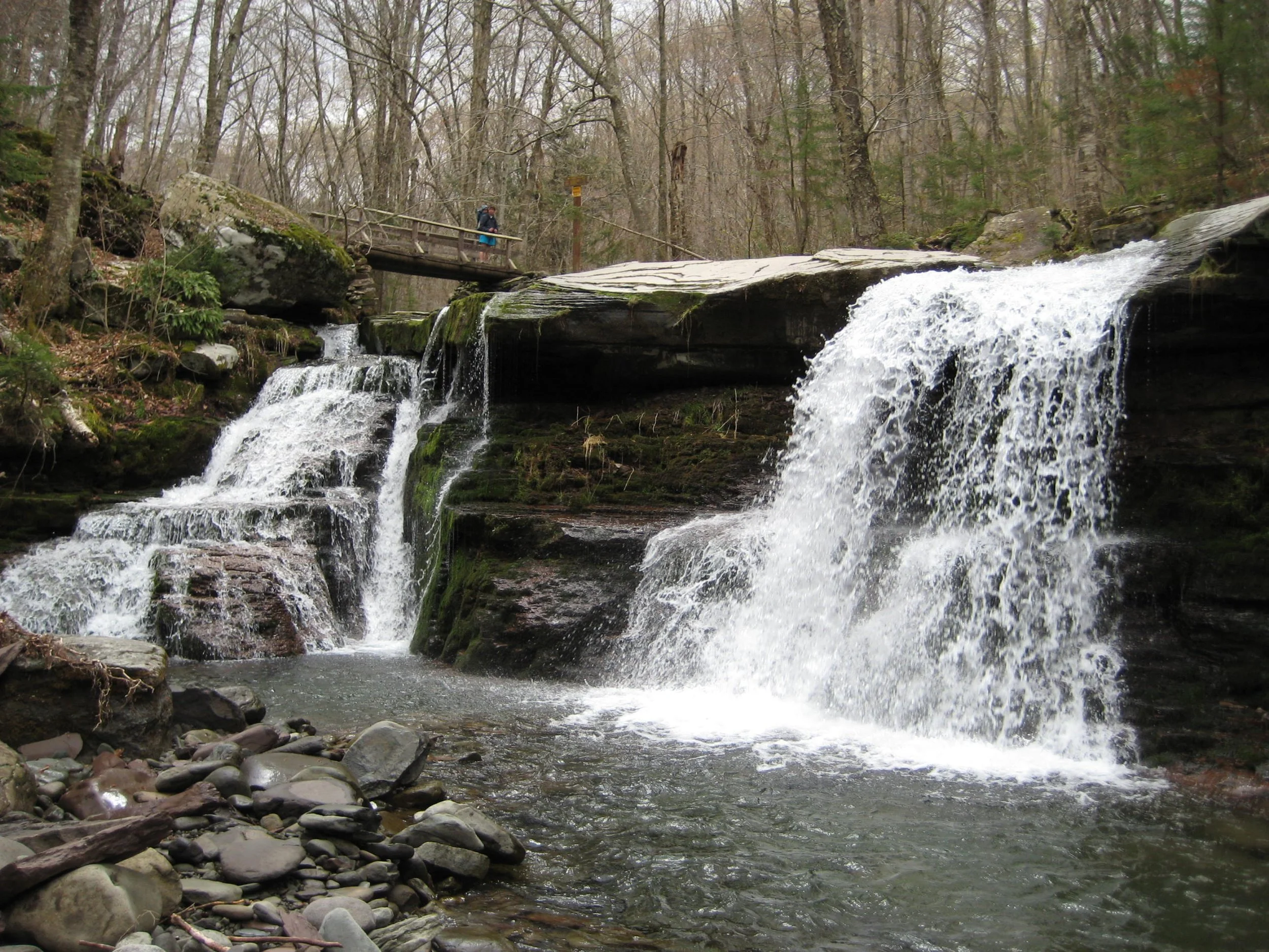
This one-way hike will visit St. Anne's Peak, West Kill Mountain (with Buck Ridge Lookout), and Diamond Notch Falls. This route will cover seven miles of the Devil’s Path and part of the Diamond Notch Trail. Rated as difficult, this eight-mile outing is expected to take about six hours.
Participants need to bring lunch/ snacks, water/ drink, rain gear, insect and sun protection, headlamp, and hiking poles (optional). Hikers must register by July 3. To register, contact Al Purdy at Albertpurdy1@aol.com or (845) 514-0919. Please note, this hike is limited to 12 people and dogs are not permitted.
Directions: We’ll meet at the Diamond Notch Parking Lot at 8:00 am. (We will then shuttle to the Devil’s Path Parking Lot, about three miles.)
From NYS Thruway Exit 19 (Kingston) merge onto NY 28 west for 27.6 miles. Then take State Route 42 north for 7.3 miles then turn right on County Hwy 6 (Spruceton Road) in West Kill and take this road 6.8 miles to the Diamond Notch Parking Lot on the right. (This is the last parking lot before the end of the road; do not park at the end of the road.)
From State Route 23A at Lexington, take State Route 42 south for 4.1 miles then turn left on County Hwy 6 (Spruceton Road) in West Kill and take this road 6.8 miles to the Diamond Notch Parking Lot on the right. (This is the last parking lot before the end of the road; do not park at the end of the road.)
GPS Coordinates: 42.182240 - 74.26955
Google Maps Coordinates: https://maps.app.goo.gl/3FQ4kZEAjqQ48Gt4A

Other Catskill Region Events
Don’t see a scheduled event that works for you? Try the schedules of these other Catskill area hiking clubs and organizations.
-

Catskill 3500 Club
The Catskill 3500 Club was founded in 1962 to foster interest in hiking in the Catskills. Membership is open to anyone who has climbed on foot each of the 35 Catskill peaks above 3500 feet in elevation. The club’s schedule appears in their newsletter, The Canister.
-

New York-New Jersey Trail Conference
The New York-New Jersey Trail Conference builds, maintains and protects 2,000 miles of trail in New York & New Jersey, including 29 lean-tos and over 200 miles of trails in the Catskills, by mobilizing volunteers. Learn more about Catskill programs and upcoming volunteer opportunities.
-

Triple Cities Hiking Club
The Binghamton based Triple Cities Hiking Club has been active since 1947 in promoting access to hiking opportunities. Hikes are scheduled on most weekends throughout the year and range in degree of challenge from easy outings to very strenuous hikes, including in the Catskills.
-

Finger Lakes Trail Conference
The FLTC was founded in 1962. It works in cooperation with its members and various organizations to develop and maintain a premier hiking trail system in New York. Learn more about the trail and find out how to help.
-

Fats in the Cats Bicycle Club
The Fats in the Cats Bicycle Club, an IMBA Chapter, promotes cycling advocacy, trail building, trail maintenance and community service. Since 1994, the club has been advocating, stewarding and improving many of the best places to ride a mountain bike in New York’s Catskill Park and Hudson Valley Region. In addition, the club organizes group rides and gives away dozens of bikes to needy kids every holiday season.
-

New List Item
The Susquehanna Chapter of the Adirondack Mountain Club (ADK) is based in Oneonta, NY, with chapter members living within the counties of Otsego, Delaware and Chenango Counties in Central New York.
The chapter provides opportunities for members to get involved in ADK’s conservation, advocacy, recreation, education, & stewardship work in the local area and statewide.