
Bramley Mountain Trail
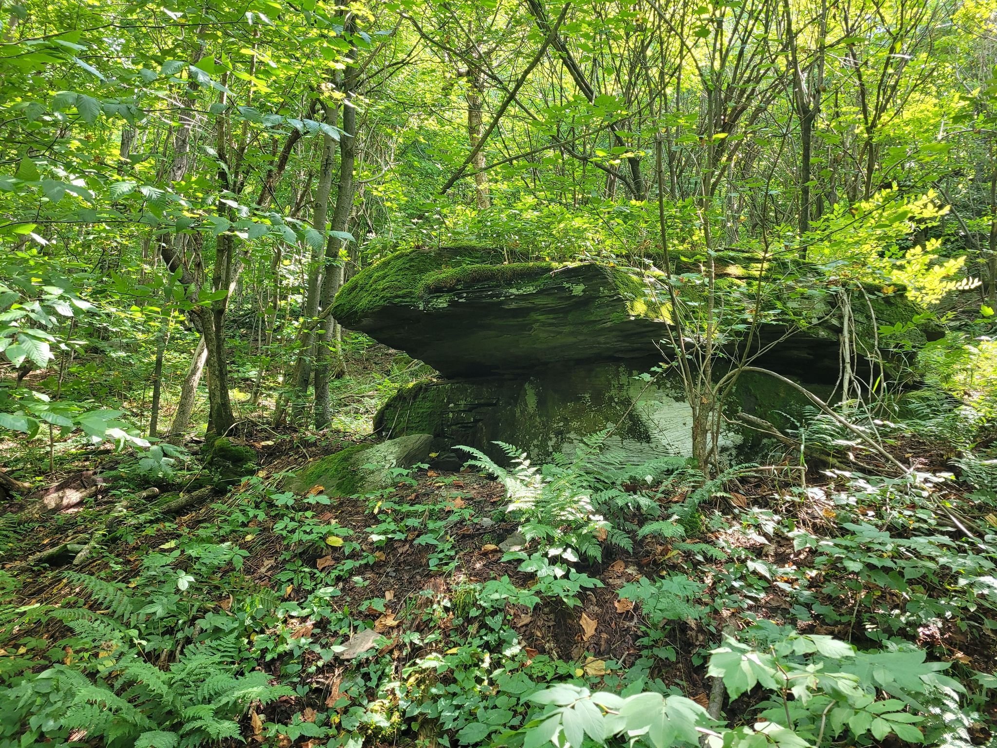

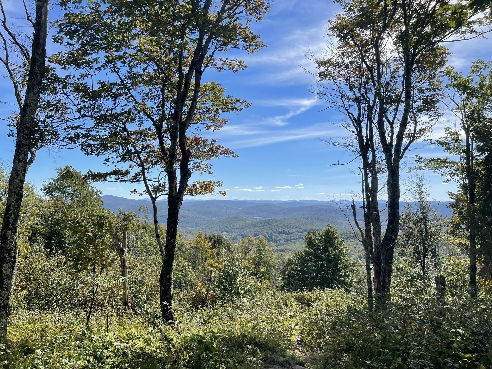
The Bramley Mountain Trail is one of the most popular hiking options in the western Catskills. It was designed and built by the Catskill Mountain Club in partnership with the NYC Department of Environmental Protection. Located on a NYCDEP parcel in the Towns of Delhi and Bovina, it totals about 4 miles in length. The complete loop visits the 2817’ summit with its site of a former fire tower, a beautiful abandoned bluestone quarry, and the impressive cliffs and caves that lie between. The hike to the quarry is on a woods road with little elevation gain, making an easy hike of about .9 miles. After the quarry, the trail continues as a foot path designed to gradually ascend about 1.2 miles through mixed hardwoods while passing stone walls and many impressive rock outcroppings and cliffs, some with caves. The Summit Trail, a1.8 mile long direct hike to the top, with its views to the west and to the southern high peaks, Mount Pisgah and the mountains of the western Pepacton Range* that are traversed by the Finger Lakes Trail, has some steep pitches alternating with long gentle climbs. We suggest hiking the Quarry Trail to the top and descending on the Summit Trail to get the best views of all the sights this trail has to offer.
The trailhead is located on Glen Bernie Road in Delhi, seven tenths of a mile from the intersection with County Rt 18, or 3.3 miles from the intersection with State Rt. 28.
In early 2020 the CMC formed Friends of Bramley Mountain Fire Tower. The tax exempt organization has the purpose of raising the funds and managing the work to return the historic fire tower to the summit of the mountain. Please visit the website to find out more about the project and to learn how to join us in making it happen.
* The range of mountains extending westward from Barkaboom Mountain is one of the longest in the Catskills, measuring about 17 miles to Campbell Mountain. It is traversed by the Finger Lakes Trail, passing over nine summits that exceed 2700′. Oddly, it is not officially named. We propose that it be known as the Pepacton Range to give it a name to match its place and that people can use in referring to it.
Get the free GPS Enabled map available for your iPhone or Android devices — click here to learn more.