
Delhi Trails (Mt. Crawford)
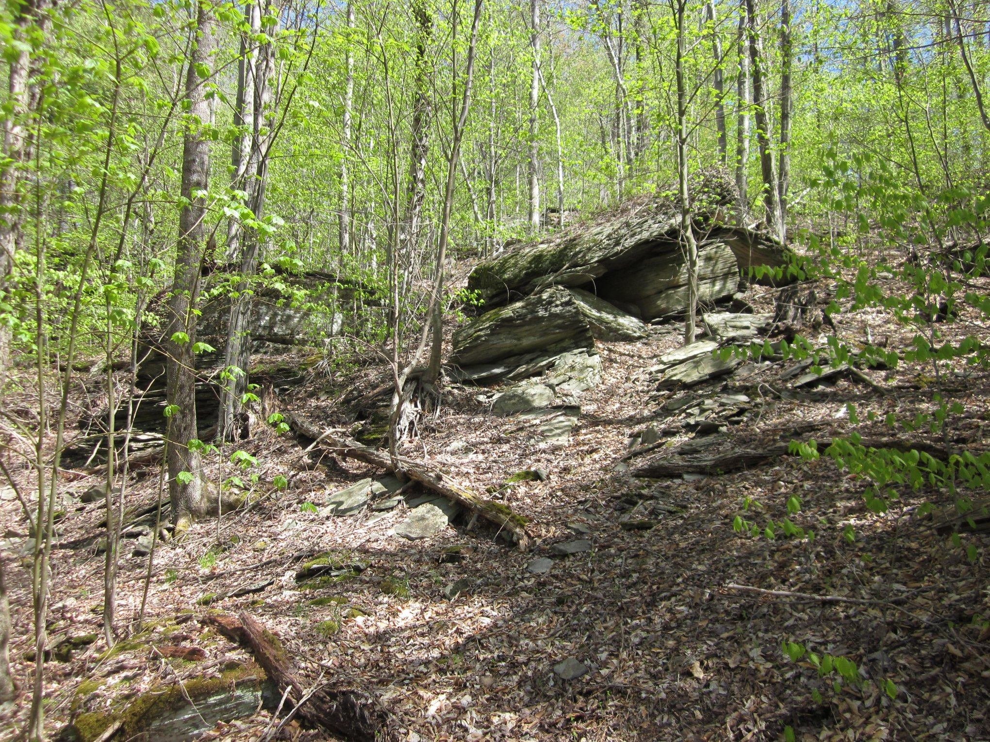
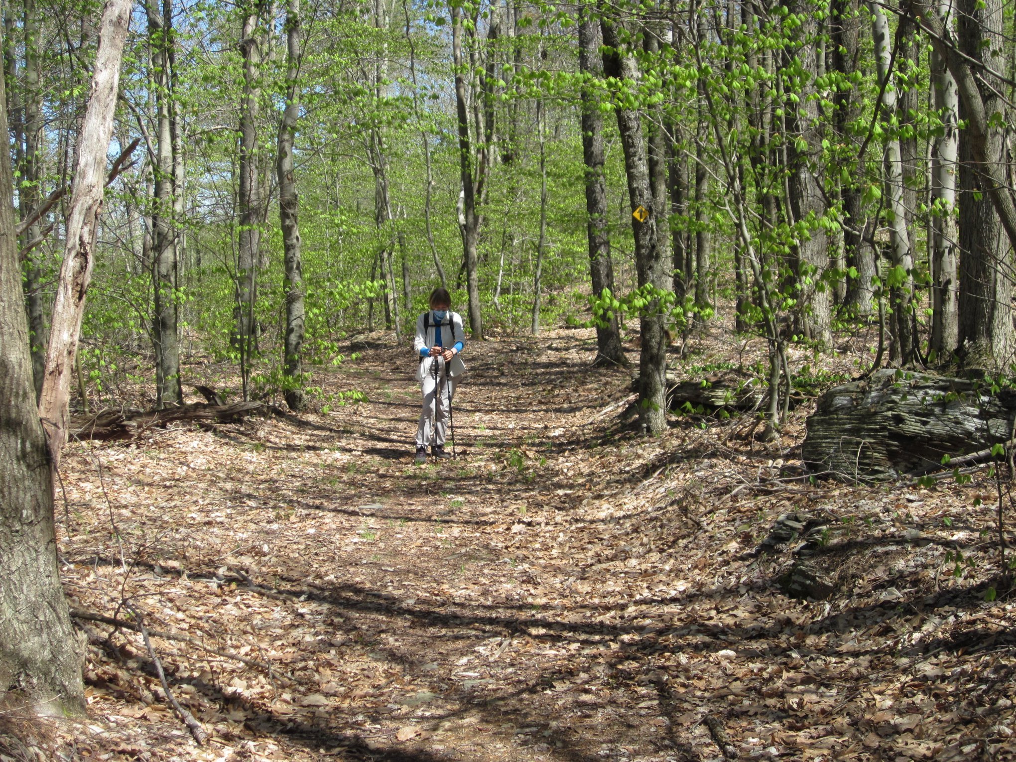
The Delhi Trails are a system of four trails on Mt. Crawford in the Village of Delhi. Built and maintained by the Catskill Mountain Club, The trails, two named for characters in the novel My Side of the Mountain by Jean Craighead George and one in honor of the Delaware Academy mascot Bulldogs, together cover about 5.4 miles and offer the option of shorter hikes of varying degrees of difficulty. The longer Gribley Trail crosses the mountain ridge above the village in three miles. The Bulldog Run can be combined with a section of the Gribley to create a loop hike. The Frightful Falls Trail is a short connector, the steepness of which makes its name seem appropriate. And the Smith Pond Trail sits in the river valley on the west side of SR 28.
This trail project is another built by the CMC to bring hiking opportunities closer to Catskill communities. The trails are designed to accommodate hikers of all ages and most abilities. The CMC feels that these trails will contribute to the physical, social and economic health of our communities. Offering the ability to easily access a place to go for a hike, however long or short, is an important way to help individuals maintain their health. The availability of a nearby place to spend time alone or with friends, family and children will offer a wonderful opportunity for relaxation, fun and meaningful time spent together in an awe inspiring and peaceful setting. And visitors from near and far will avail themselves of the services provided by local businesses when they come to town for a hike. We are convinced that everyone will benefit in some way from the presence of these new trails and that the Catskills will become an even better place to live and to visit.
There is parking for the trails at the end of Sheldon Drive, at Immanuel Lutheran Church and at O’Connor Hospital. Use the O’Connor Hospital parking lot during church services or events. Limited parking is available at each end of the Smith Pond Trail.
Gribley Trail (3.0 miles)
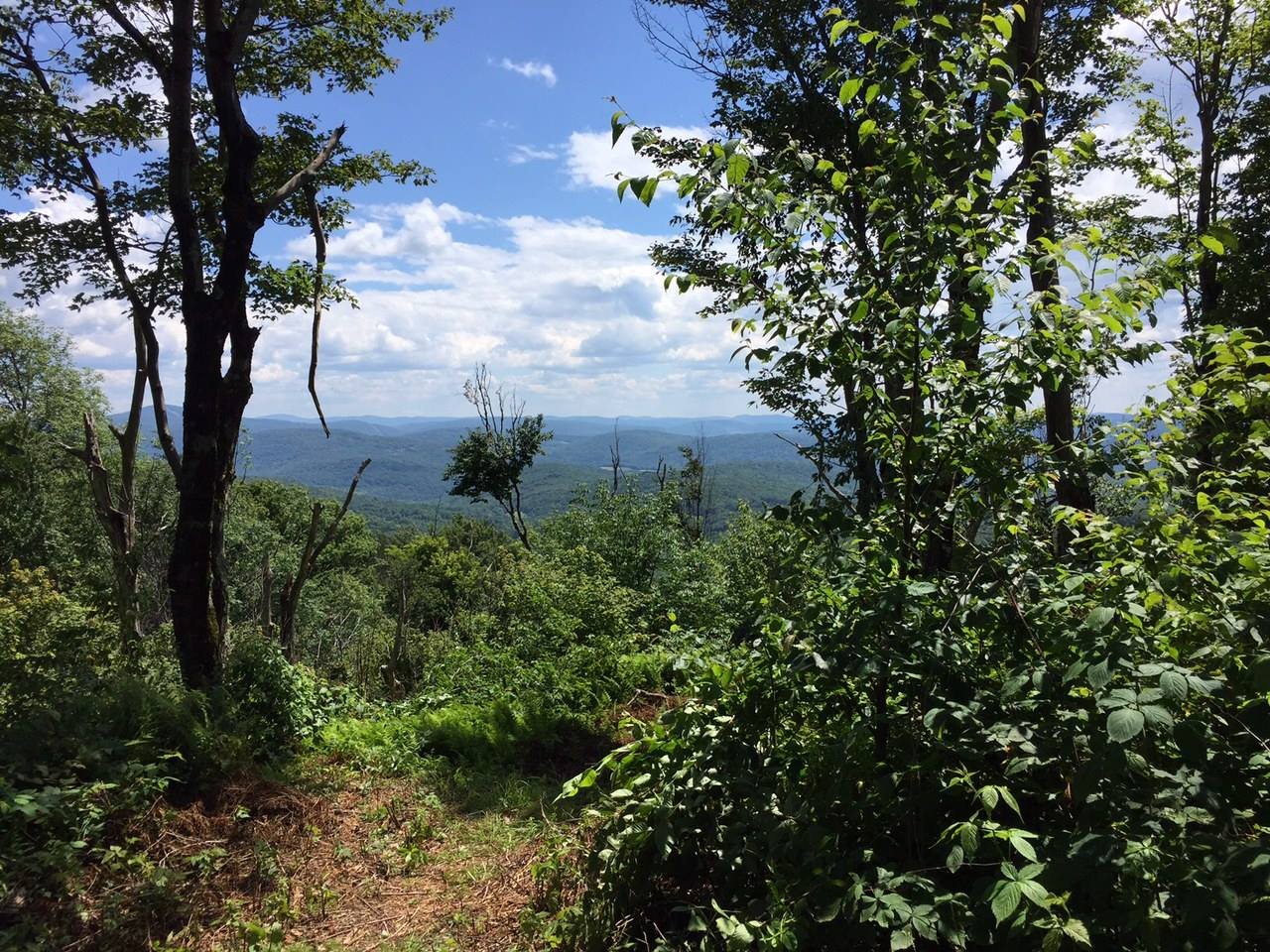
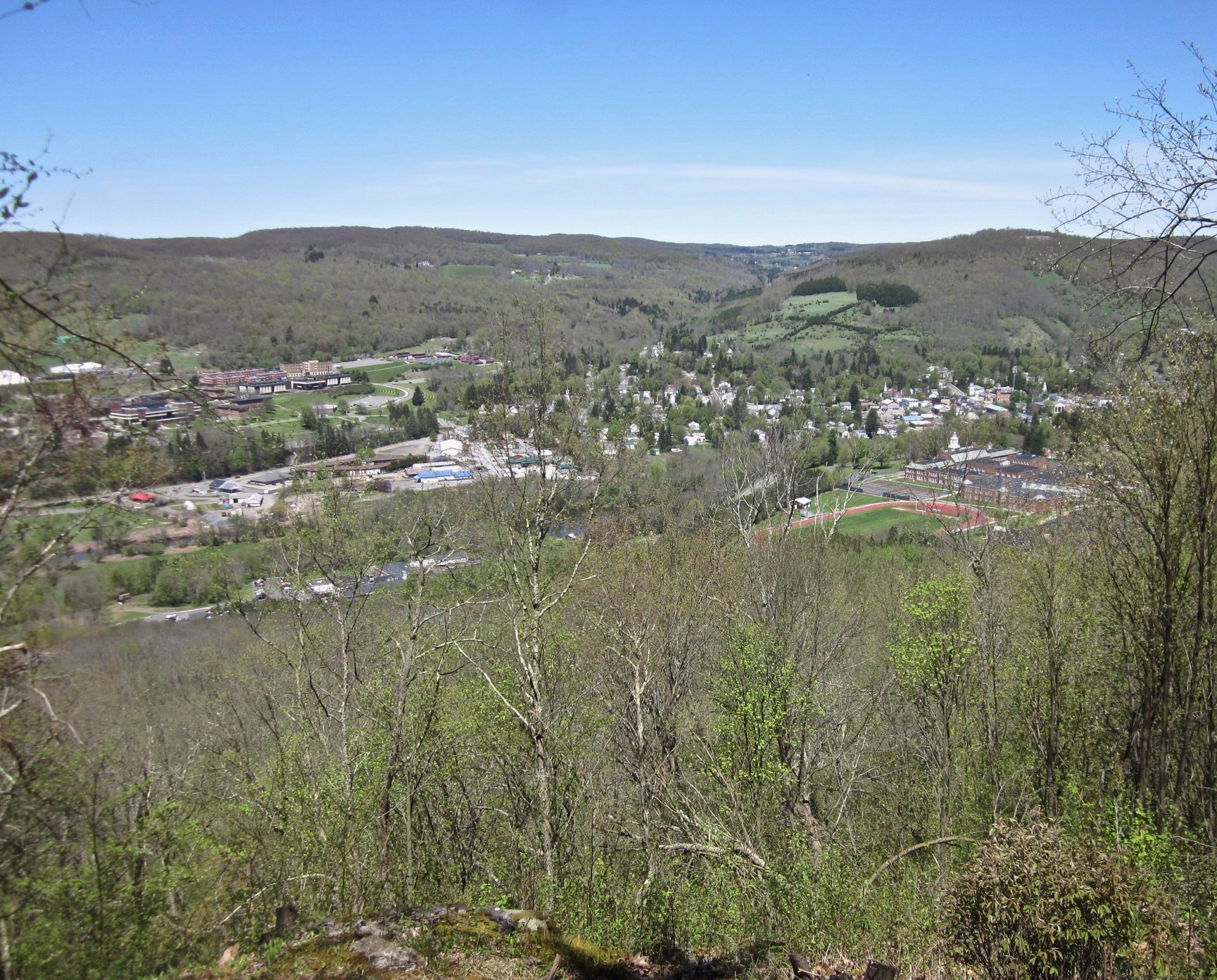
Named after the beloved character in the children’s novel My Side of the Mountain by Jean Craighead George, which was set near Delhi NY. The trail starts at the end of Sheldon Drive near the high school in Delhi. After a steep climb the trail passes through varied vegetation, offering views of the village. It then proceeds west near the ridgeline of the mountain, then finally descending to meet the Bulldog Run Trail. Continue on the trail or follow the Bulldog Run Trail to the Immanuel Lutheran Church Trailhead. The trail ascends 550 feet and is considered moderate-difficult.
Bulldog Run Trail Loop (1.7 miles)
Named after Delaware Academy Central School’s mascot. It meanders on the side of Federal Hill in an easy loop that combines the 0.6 mile BRT with the lower Gribley Trail, starting and ending at the Immanuel Lutheran Church Trailhead.
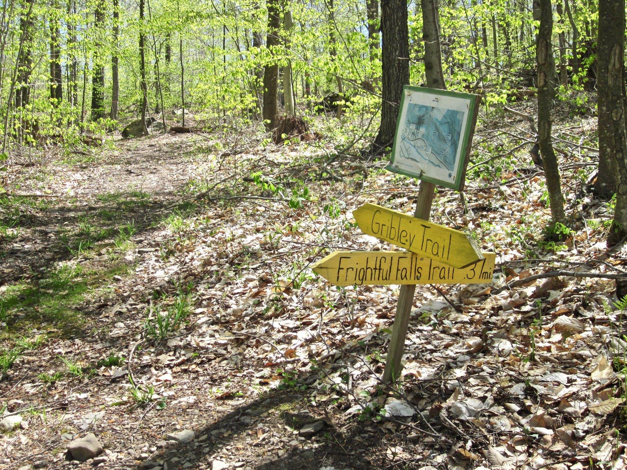
Frightful’s Falls Trail (0.5 miles)
Named after the falcon, a character in My Side of the Mountain, this trail connects Bulldog Run to the Gribley Trail. It is steep and is rated difficult.
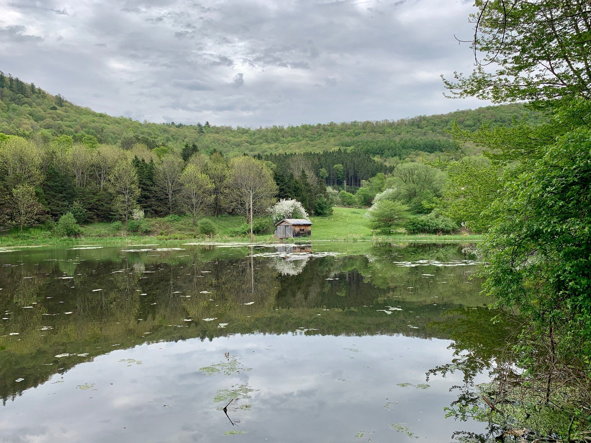
Smith Pond Trail (1.1 miles)
The trail runs from a trailhead on SR 28 opposite the Delaware Academy to a trailhead on Back River Rd./Arbor Hill Rd. It follows the West Branch of the Delaware River through grasslands and mixed forest. This is an easy hike. A connector trail leads to a crossing of SR 28 at Back River Rd., making a loop hike with the lower Gribley Trail possible.
Get the free GPS Enabled map available for your iPhone or Android devices — click here to learn more.
The Delhi Trails Project was made possible through the cooperation of the Village of Delhi, Delaware Academy Central School, and the Immanuel Lutheran Church. The project was generously supported and assisted by Bassett Healthcare Network O’Connor Hospital, Cornell Cooperative Extension of Delaware County, the Rural Health Alliance, The Catskill Ladies Association to Support and Inspire (C.L.A.S.I) and by SUNY Delhi students. The Catskill Mountain Club designed, constructed and maintains the trails.