Events
Calendar
Upcoming Events (Lark in the Park 10/4-13 catskillslark.org)


Hike to Inspiration Point
Siu S. Yuen
This is a Lark in the Park event. Please visit the Lark in the Park website using the links below.

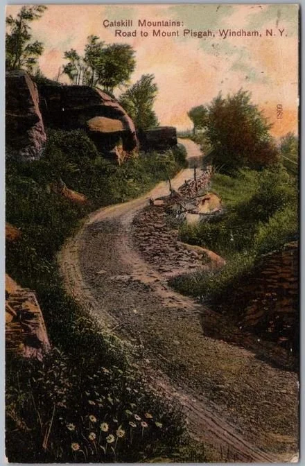
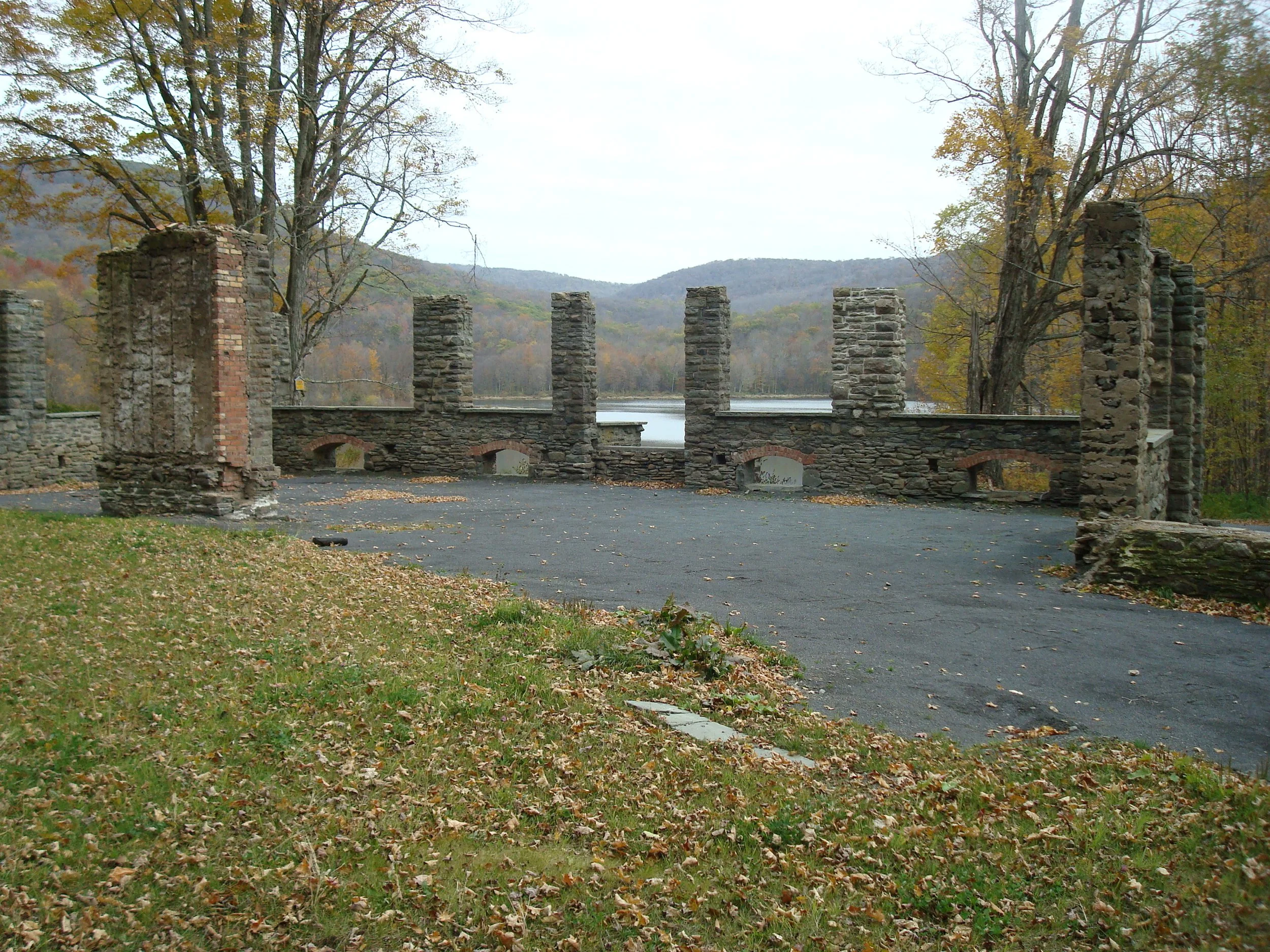
Mt Pisgah Ridge Hike to Old Hotel Site and Carriage Road
This is a Lark in the Park event. Please visit the Lark in the Park website using the links below.

Balsam Mountain
This is a Lark in the Park event. Please visit the Lark in the Park website using the links below.

Dry Brook Ridge Trail Maintenance
This is a Lark in the Park event. Please visit the Lark in the Park website using the links below.

Hike Headwaters Trails to Bald Mountain
This is a Lark in the Park event. Please visit the Lark in the Park website using the links below.

Hike to Trout and Mud Ponds
(Al Purdy)
This is a Lark in the Park event. Please visit the Lark in the Park website using the links below.

Hike at Woodchuck Lodge
This is a Lark in the Park event. Please visit the Lark in the Park website using the links below.
Balsam Lake Mountain, Millbrook Ridge, and Alder Lake
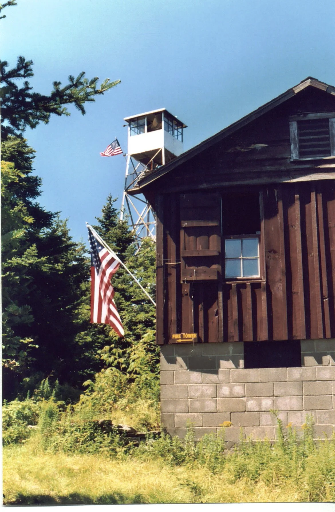
Enjoy this one-way hike up to the fire tower, along the scenic ridge, and out to Alder Lake. At just over 10 miles and with an expected duration of nine hours, this outing is rated as difficult. Both Balsam Lake Mountain
Participants need to bring lunch/ snacks, water/drink, rain gear, sturdy hiking shoes, insect repellent, sunscreen, an extra layer of warm clothes, and hiking poles (optional). The event is limited to 12 people and registration is required by October 17. To register, contact Al Purdy at Albertpurdy1@aol.com or (845) 514-0919. Please note that dogs are not permitted on this hike. Severe weather will postpone the hike.
Directions: From NYS Thruway Exit 19 at Kingston, take State Route 28 west to 45.5 miles past Margaretville. Less than 2 miles past Margaretville, turn left and a quick right onto BWS Road No. 10 and continue for 8.3 miles. Turn left onto Barkaboom Road (toward Big Pond and Little Pond) and continue 6.2 miles to the stop sign. Turn left onto Beaverkill road for 1.4 miles; then turn left onto Alder Road for 2.2 miles. Turn right onto cross mountain road for 100 ft. and follow the dirt road to the parking area for Alder Lake.
From Route 28 North, go south to Andes, make a right and then bear left onto Delaware County Highway 1 (following signs for Shavertown). Reach the stop sign at just under 8 miles, turn right, go over the reservoir bridge, and turn left onto BWS Road No. 8. At 1.9 miles stay to the right and from this point continue 6.2 miles to the stop sign. Turn left onto Beaverkill road for 1.4 miles; then turn left onto Alder Road for 2.2 miles. Turn right onto cross mountain road for 100 ft. and follow the dirt road to the parking area for Alder Lake.
GPS Coordinates to Alder Lake Parking Area: 42.04977, - 74.68283
Google Map Links to Alder Lake Parking Area: https://maps.app.goo.gl/xcRSQXGqsxRPtvCv6

CMC Annual Dinner
Registration Open for the CMC Dinner
Saturday, September 27th
GET YOUR TICKETS HERE
Registration Deadline September 18
SILENT AUCTION ITEMS HERE
The Catskill Mountain Club will hold its popular annual dinner on Saturday, September 27th at Bluestone Restaurant at the Delhi College Golf Course.
A cocktail hour with hors d'oeuvres and a cash bar will begin at 4:00 pm. Please come early so that you can catch up with fellow club members on the outdoor patio. The buffet dinner will feature Kalbi Flank Steak, Citrus Glazed Salmon, and Slow Roasted Portabella Mushroom.
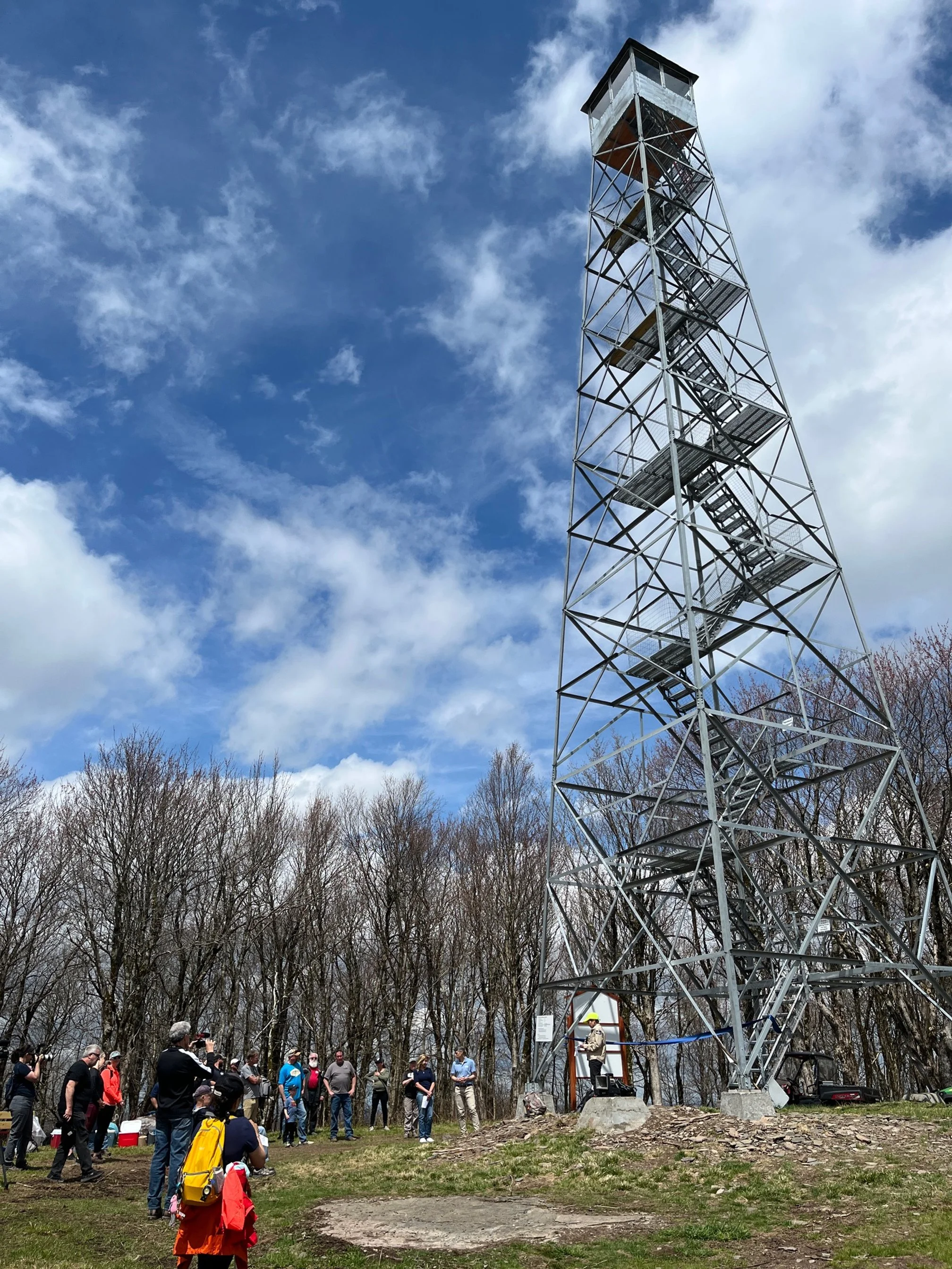
We will be featuring a state-of-the-club presentation, as well as a short film, The Story of The Bramley Mountain Fire Tower which focuses on the history and the reconstruction of the tower.
New Trail Challenge awards will be presented to all those in attendance who have earned the All Trails, Catskills Grid/420, and Catskills 4 Seasons/140. The Outstanding Event Leader Award will be presented to legendary Catskills hiker Marv Freedman.
The dinner will again include a silent auction for a wide array of items donated by local businesses and club members. The auction items include outdoor equipment, artwork, restaurant gift certificates, cooking classes, vacation rentals, and more. You will almost certainly find items that you need or desire, and all the proceeds from the auction will benefit the CMC.
If you have any questions about the dinner, please contact John Sandman at sandmajm@gmail.com.

Hike to Bramley Mountain
Opening Day
Hike the loop trails on Bramley Mountain and visit the newly restored Fire Tower with the Friends of Bramley Mountain Fire Tower. This is a moderate hike of four miles and is expected to take about four hours. Participants should bring lunch/ snacks, water/ drink, sturdy hiking shoes, insect repellent, sunscreen, hike poles (optional), binoculars, and a camera.
This hike is limited to 12 people and registration is required. To register, contact Ann Roberti by September 25 at aroberti@catskill.net. Dogs are permitted on this hike with the permission of the event leader, Ann Roberti.
The trailhead is located on Glen Burnie Road in Delhi, seven tenths of a mile from the intersection with County Rt 18, or 3.3 miles from the intersection with State Rt. 28 between Delhi and Andes. Note, there are two parking areas; we will meet at the lower parking area, just down from the top of the road, closer to the County Route 18 end of Glen Burnie Road.
GPS Coordinates: 42.29922, -74.83583
Google Maps Link: https://maps.app.goo.gl/y8z35T2ztYorqPGK9

Fir, Big Indian, Eagle, and Balsam Mountains
Visit four 3500’+ high peaks on this outing led by Marv Freedman. This 13-mile challenging hike is both on and off-trail and will include 4180’ of elevation gain. Rated as difficult, it will begin in Maben Hollow and conclude in Rider Hollow, and the pace will be moderate, about 1.5 mph. The hike is expected to take nine hours.
Hikers need to bring lunch/ snacks, water/ sports drink (recommended 1 to 2 liters), water resistant boots with good traction, gaiters (recommended), hiking poles (recommended), headlamp & extra batteries (just in case). We won't stop for a long lunch and will eat during short breaks.
This hike is limited to 12 people, and registration is required by September 25. To register, contact Marv Freedman at marvfreedman@gmail.com. Please include your cell number in your registration request. Dogs are permitted with the permission of the event leader. Note: meeting place and time, route details, and required gear are subject to change based on weather forecast, trail conditions, etc. Updated information will be provided via email, usually about two to four days before the hike.
Meet, ready to shuttle, no later than 8:00 am at the Rider Hollow Trailhead,at 8:00 am at the Rider Hollow Trailhead. We'll leave most cars here and will shuttle to Maben Hollow Rd to start our hike.
Google Maps Link: https://maps.app.goo.gl/Hk5MU9MfyzStGQqE8
GPS: 42.102017, -74.516899
Driving directions: To reach the Rider Hollow Trailhead from the east, take State Route 28 39 miles west from the traffic circle at Exit 19 (Kingston) of the NYS Thruway to Galli Curci Road at Highmount and turn left. (This is the same turn for the Belleayre Ski Center.) Proceed 4.95 miles on Galli Curci Road (Ulster Co. Hwy 49A) (becomes Todd Mtn. Rd.) and turn left onto Rider Hollow Road. Continue to the end of the road (2.1 mi.) to the trailhead.
From the west, take State Route 28 to Dry Brook Road (1.2 miles east of Margaretville) and turn right, following the signs for Dry Brook Ridge. Take Dry Brook Rd. 4.7 miles and turn left (following signs for Rider Hollow) onto Todd Mountain Road. Continue less than a half mile and turn right onto Rider Hollow Rd. Continue 2.1 miles to the end of the road/ trailhead.
Peekamoose and Table Mountains and Blue Hole
Join Al Purdy and friends for this out-and-back hike to two high peaks and a visit to the Blue Hole. This 9.5-mile hike is expected to take eight or more hours and is rated as difficult. Participants need to bring lunch, snacks, plenty of water and sports drink, sunscreen, insect repellent, rain gear, an extra layer of clothing, sturdy shoes, and hiking poles (recommended).
This hike requires registration by September 19. To register, contact Al Purdy at Albertpurdy1@aol.com or (845) 514-0919. Dogs are not permitted on this hike. Severe weather will postpone the hike.
Directions: From NYS Thruway Exit 19 (Kingston), turn right onto Route 28 and continue 16.1 miles. Turn left onto 28a and continue for 3 miles. Turn right onto Ulster County Highway 42 (Watson Hollow/ Peekamoose Road) for 10.2 miles to the Peekamoose Blue Hole Parking Area on the right.
Google Maps Link: https://maps.app.goo.gl/K8hAjpnt3jnCYsyF6
GPS Coordinates: 41.91532, -74.42895
Plateau, Sugarloaf, Twin, and Indian Head Mountains
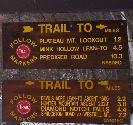
Here’s a challenging ten-mile hike along the eastern Devil’s Path with excellent views and fun scrambles. With 4300' of elevation gain, this outing is rated as difficult and is expected to take about seven hours. We will hike at a pace of approx. 1.5 mph.
Hikers need to bring water/sports drink (2+ liters recommended), snacks (we will not stop for a long lunch), insect repellent, sunscreen, sunglasses, sturdy/water-resistant hiking shoes, hiking poles (recommended), and a headlamp (we should finish well before dark, but need to be prepared in case we're delayed). This hike is limited to 12 people, and registration is required. To register, contact Marv Freedman at marvfreedman@gmail.com by September 20. Please include your cell number in your registration request. Dogs are permitted with the permission of the event leader. Updated information will be provided via email, usually about two to four days before the hike.
Meet, ready to shuttle, no later than 8am, at the Prediger Trailhead, off of Platte Clove Rd. This is where our hike will end. We'll leave most cars there and will caravan to the end of Mink Hollow Rd to start our hike.
Google Maps Link: https://maps.app.goo.gl/vHJdQzeqL3cMtZSdA
GPS Coordinates: 42.1340112, -74.104360
Directions to Prediger Road Trailhead: To reach the trailhead from State Route 23A east in Tannersville, bear left on South Main St., stay left on Spruce (becomes Platte Clove Rd.) and at 1.5 miles stay left on Platte Clove Road and continue another 4.2 miles. Turn right on Prediger Road, following the signs for forest preserve parking near the end of the road.
From Route 23A west, take a right on Bloomer Road (.6 miles after the 23A/ 214 jnctn). Just after a mile stay to the right at the yield signs and onto Platte Clove Road (Co. Hwy. 16). Continue 4.3 miles and turn right on Prediger Road, following the signs for forest preserve parking near the end of the road.
The Prediger Road Trailhead can also be reached from State Route 212. From the NYS Thruway Exit 20/ Saugerties, take 212 west about 2.2 miles, turn right onto Blue Mountain Road, continue 1.4 miles and bear left onto West Saugerties Road (becomes Platte Clove Road); continue for 5.25 miles up steep grade to Prediger Rd. Follow the signs for forest preserve parking near the end of the road.

North Dome and Mount Sherrill
This hike is a 6.5-mile challenging bushwack with fun climbs and nice views. With a 2300’ ascent, the hike is rated moderate-to-difficult. The pace of the hike will be moderate (about 1-1/2 mph moving speed, typically) with steep climbs and short breaks.
Hikers need to bring plenty of water/ sports drink, lunch/ snacks, sturdy water-resistant boots, proper layered clothing, insect repellent, sunscreen, and gaiters and hiking poles are recommended. We expect the hike to take about six hours.
The event is limited to 12 people and registration is required by September 17. To register, contact event leader Marv Freedman at marvfreedman@gmail.com Please include your cell number in your registration request. Dogs are permitted only with the permission of the event leader.
We will meet, ready to shuttle, no later than 8:00 am at the Shaft Rd parking area off of Rt 42. Please do not park on Shaft Rd. or the adjacent home's driveway. This is where our hike will end. We'll leave most cars here, and will shuttle to the Mink Hollow parking area (Western end of Devil's Path) on Spruceton Rd to start our hike.
GPS Coordinates for Shaft Road parking area: 42.165112, -74.408771
Google Maps link for Shaft Road parking area: https://maps.app.goo.gl/Q5nr8Y5afajuHm1B9
Driving directions: From the north, take State Route 23A to State Route 42. Go 7.6 miles on Route 42 and turn left. Continue on the short gravel road through the line of trees, and the parking area is on the right.
From the south, take State Route 28 to State Route 42. Take Route 42 3.75 miles and turn right. Continue on the short gravel road through the line of trees, and the parking area is on the right.
Additional Information: Meeting place and time, route details, and required gear are subject to change based on weather forecast, trail conditions, etc. Updated information will be provided via email, usually about four days before the hike.
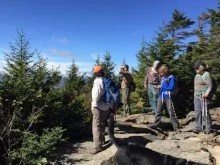
Southwest Hunter, Hunter, and Rusk Mountains
This 13-mile trail and bushwack hike will reach three high peaks: SW Hunter (3753'), Hunter (4030'), and Rusk (3680'). The moving pace will be average -- about 1-1/2 mph, with short breaks. With a total elevation gain of about 3200' and a duration of ten hours, this hike is rated as difficult.
Participants need to bring lunch, water, sports drink, snacks, insect repellent, sunscreen, sunglasses, sturdy hiking shoes, rain gear, extra layers, headlamp, and hiking poles (recommended). This hike is limited to 12 people, and registration is required. To register, contact Marv Freedman at marvfreedman@gmail.com by September 15. Please include your cell number in your registration request. Dogs are permitted with the permission of the event leader. Note, meeting place and time, route details, and required gear are subject to change based on weather forecast, trail conditions, etc. Updated information will be provided via email, usually about four days before the hike.
Meet, ready to hike, no later than 8:00 am at the Spruceton Trail Parking Lot.
Directions: From NYS Thruway Exit 19 (Kingston) merge onto NY 28 west for 27.6 miles. Then take State Route 42 north for 7.3 miles then turn right on County Hwy 6 (Spruceton Road) in West Kill and take this road 6.8 miles to the Spruceton Trail Parking Lot about 1/10 mile before the end of Spruceton Rd. Please do not park in the turnaround at the end of the road.
From State Route 23A at Lexington, take State Route 42 south for 4.1 miles then turn left on County Hwy 6 (Spruceton Road) in West Kill and take this road 6.8 miles to the Spruceton Trail Parking Lot on the right, about 1/10 mile before the end of Spruceton Rd. Please do not park in the turnaround at the end of the road.
GPS Coordinates of Diamond Notch Parking Lot (Meeting Place): 42.182385, -74.269461
Google Maps Link for Diamond Notch Parking Lot (Meeting Place): https://maps.app.goo.gl/JJCh9hdDycPUAfoF6

Huckleberry Point
Here’s a scenic, out-and-back 4.6-mile hike to the eastern escarpment. Rated as moderate, we expect this outing to take about four hours. Hikers need to bring lunch, snacks, food, drink, rain gear, insect repellent, sunscreen, sturdy hiking shoes, hiking poles (optional), and extra layers of clothes. Registration for this hike – which is limited to 12 people – is required. To register, contact Al Purdy at Albertpurdy1@aol.com or (845) 514-0919 by September 12. Please note, dogs are not permitted on this hike. Severe weather will cancel the hike.
Google Maps link to trailhead/ meeting location: https://maps.app.goo.gl/PTSG8ssidUD737fd7
GPS coordinates to meeting location: 42.13321, -74.08288
From Exit 20 (Saugerties) NYS Thruway, take State Route 212 west and continue for 2.3 miles. Turn right onto Blue Mountain Road and continue for 1.4 miles. Slight left to continue onto West Saugerties Road and continue all the way up the steep hill (4.3 miles). Turn right into the NY DEC marked parking lot.
To reach the trailhead from State Route 23A in Tannersville, take South Main, stay left on Spruce (becomes Platte Clove Rd.) and at 1.5 miles stay left on Platte Clove Road and continue another 5.2 miles and the trailhead/ parking area is on the left. (Go slow in Platte Clove. Do not miss turn!!)
From Route 23A west, take a right on Bloomer Road (.6 miles after the 23A/ 214 jnctn). Just after a mile stay to the right at the yield signs and onto Platte Clove Road (Co. Hwy. 16). Continue to the point that is 6.3 miles and you will see the Long Path parking area (meeting place) on your left.

Panther, Slide, Cornell, and Wittenberg Mountains
This is a long, challenging bushwhack and trail hike over Panther, Slide, Cornell & Wittenberg, all high peaks. With a distance of 18 miles and an estimated duration of 12 hours, this hike is rated as difficult.
Hikers joining this outing need to bring lunch/ snacks, plenty of water/ sports drink, proper clothing/ extra layers, sturdy hiking shoes, hiking poles (recommended), and a headlamp. This hike is limited to 12 people and registration is required. Register by contacting Marv Freedman at marvfreedman@gmail.com by September 13. Pace will be moderate, typically about 1-1/2 mph while moving. Please include your cell number in your registration request. Dogs are permitted with the permission of the event leader.
We'll meet, ready to hike no later than 8:00 am at the Woodland Valley parking area. Google Maps Link: https://maps.app.goo.gl/DYDttcQAx19KPueWA
GPS coordinates of meeting location: 42.036238, -74.357886
Driving Directions: Woodland Valley Road is located off State Route 28, one half mile west of Phoenicia and marked with brown-and-white wayfinding signs. After turning on Woodland Valley Road and crossing the bridge, turn right, then stay to the left and follow Woodland Valley Road for 4.75 miles to the Woodland Valley Campground Day Use Lot (before the campground entrance) on the right.
Meeting place and time, route details, and required gear are subject to change based on weather forecast, trail conditions, etc. Updated information will be provided via email, usually about four days before the hike.

Arizona and Blackhead Mountains
(A. Purdy)
Enjoy this 9.5-mile hike, beginning at the Stork’s Nest Parking area, climbing to Dutcher Notch, and reaching the Arizona (3413’) and Blackhead Mountain (3940’) summits. This scenic trail hike is rated as difficult, includes 2728’ of elevation gain, and will take at least six-to-eight hours. Participants need to bring lunch and snacks, plenty of water and sports drink, headlamp or flashlight, rain gear, sunscreen, insect repellent, and hiking poles (optional). Participants must pre-register by September 5 by contacting leader Al Purdy via email Albertpurdy1@aol.com or by phone (845) 514-0919. Dogs are not permitted; and severe weather cancels the hike.
From NYS Thruway Exit 21 Catskill make a left at traffic light, go approximately 0.4 miles and turn right on Route 23 West. Go 5.2 miles and turn left onto Silver Spur Rd. Take Silver Spur Rd. for 1.3 miles then turn right and an immediate left onto the Mountain Ave. Take Mountain Ave. .75 and stay left on Co. Rte. 39. Take 39 1.25 miles to stop sign. Continue straight across intersection onto Maple Lawn Road for 1.25 miles. Turn left and make first right onto Storks Nest Rd. Continue to end of Storks Nest Road and parking area is on the left.
From Windham (at the junction of State Route 23 and County Route 21), take Route 23 East 11.9 miles and turn right onto Hearts Content Road (Co. Rte. 31). Take Rte. 31 for 3.5 miles and turn right onto Maple Lawn Rd. Take Maple Lawn Rd. for 1.25 miles. Turn left and make first right onto Storks Nest Rd. Continue to end of Storks Nest Road and parking area is on the left.
GPS coordinates of trailhead: 42.252398, -74.053720
Google Maps link: https://maps.app.goo.gl/nBNr1KTdLtH5vKjB7

Catskills Roundtable, featuring author Nina Shengold
Nina Shengold, Ashokan Nanook
Join Nina Shengold as she shares experiences from walking along the Ashokan Reservoir for 365 consecutive days. Nina’s book, Reservoir Year, expresses the range of feelings, encounters, weather, wildlife, and overall captures what happens when you get outside and walk on a daily basis. Syracuse University Press (publisher) relates —-
“Quietly transformative, Reservoir Year encourages readers to find their own ways to unplug and slow down, reconnecting with nature, rekindling old passions and sparking some new ones along the path. Featuring a map and line drawings by Will Lytle and hand-colored linocuts by Carol Zaloom.”
The event will be held at the Pine Hill Community Center from 2:00 - 3:45 pm. Please register by contacting Wendell George at Wendell@catskillmountainclub.org. The Pine Hill Community Center is located at 287 Main Street in Pine Hill, just off Route 28 (34 miles west of the NYS Thruway at Kingston; and 10 miles west of Margaretville).
Google Maps link: https://maps.app.goo.gl/9KUGWxCnsetoBtZT9

Stewardship Day at Meads Mountain
Join the CMC and the DEC as we undertake a half day of trail maintenance along the Meads Meadow, Overlook, and Overlook Connector Trails. We will begin at 9:30 and conclude at 12:30. Participants must register — and there are a limited number of spots available. To register and for more info go to the Catskill and Adirondack Park Day website, and scroll to the Meads Meadow event. We really hope you can make it!

Southwest Hunter, Hunter, and Rusk Mountains
This 13-mile trail and bushwack hike will reach three high peaks: SW Hunter (3753'), Hunter (4030'), and Rusk (3680'). The moving pace will be average -- about 1-1/2 mph, with short breaks. With a total elevation gain of about 3200' and a duration of ten hours, this hike is rated as difficult.
Participants need to bring lunch, water, sports drink, snacks, insect repellent, sunscreen, sunglasses, sturdy hiking shoes, rain gear, extra layers, headlamp, and hiking poles (recommended). This hike is limited to 12 people, and registration is required. To register, contact Marv Freedman at marvfreedman@gmail.com by August 30. Please include your cell number in your registration request. Dogs are permitted with the permission of the event leader. Note, meeting place and time, route details, and required gear are subject to change based on weather forecast, trail conditions, etc. Updated information will be provided via email, usually about four days before the hike.
Meet, ready to hike, no later than 8:00 am at the Spruceton Trail Parking Lot.
Directions: From NYS Thruway Exit 19 (Kingston) merge onto NY 28 west for 27.6 miles. Then take State Route 42 north for 7.3 miles then turn right on County Hwy 6 (Spruceton Road) in West Kill and take this road 6.8 miles to the Spruceton Trail Parking Lot about 1/10 mile before the end of Spruceton Rd. Please do not park in the turnaround at the end of the road.
From State Route 23A at Lexington, take State Route 42 south for 4.1 miles then turn left on County Hwy 6 (Spruceton Road) in West Kill and take this road 6.8 miles to the Spruceton Trail Parking Lot on the right, about 1/10 mile before the end of Spruceton Rd. Please do not park in the turnaround at the end of the road.
GPS Coordinates of Diamond Notch Parking Lot (Meeting Place): 42.182385, -74.269461
Google Maps Link for Diamond Notch Parking Lot (Meeting Place): https://maps.app.goo.gl/JJCh9hdDycPUAfoF6
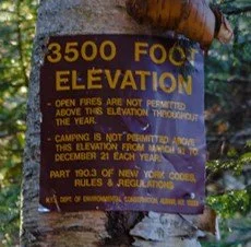
CANCELED Balsam and Eagle Mountains
CANCELED
Join Marv Freedman and friends for this adventure to two of the high peaks: Eagle (3583') and Balsam (3607'). Fit beginners are welcome on this ten-mile trail hike, which is rated as moderate-to-difficult and is expected to take about eight hours. Our pace will be moderate, typically about 1-1/2 mph while moving.
Hikers need to bring plenty of water/ sports drink, lunch/ snacks, sturdy water-resistant boots, extra clothing; sunscreen/ hat/ sunscreen (optional); hiking poles are recommended. The event is limited to 12 people and registration is required by August 28. To register, contact event leader Marv Freedman at marvfreedman@gmail.com Please include your cell number in your registration request. Dogs are permitted only with the permission of the event leader. Note: meeting place and time, route details, and required gear are subject to change based on weather forecast, trail conditions, etc. Updated information will be provided via email, usually about two to four days before the hike.
We will meet, ready to hike, no later than 8:00 am, at the Rider Hollow Trailhead off of Galli Curci Rd. (Uls. Co. CR 49A).
Google Maps Link to Rider Hollow Trailhead: https://maps.app.goo.gl/uaVAoiXzuDeHPFqo6
GPS Coordinates to Rider Hollow Trailhead: 42.101999, -74.516896
Driving directions: To reach the Rider Hollow Trailhead from the east, take State Route 28 39 miles west from the traffic circle at Exit 19 (Kingston) of the NYS Thruway to Galli Curci Road at Highmount and turn left. (This is the same turn for the Belleayre Ski Center.) Proceed 4.95 miles on Galli Curci Road (Ulster Co. Hwy 49A) (becomes Todd Mtn. Rd.) and turn left onto Rider Hollow Road. Continue to the end of the road (2.1 mi.) to the trailhead.
From the west, take State Route 28 to Dry Brook Road (1.2 miles east of Margaretville) and turn right, following the signs for Dry Brook Ridge. Take Dry Brook Rd. 4.7 miles and turn left (following signs for Rider Hollow) onto Todd Mountain Road. Continue less than a half mile and turn right onto Rider Hollow Rd. Continue 2.1 miles to the end of the road/ trailhead.

Friday, Balsam Cap, Rocky, Lone, Table, and Peekamoose
Enjoy a full day in the Southern Catskills with Marv Freedman and friends as they take on this bushwack and trail hike over six peaks (elevations ranging from 3487’ to 3825’). Aptly rated as difficult, this outing is 12+ miles in length, 4500’ in elevation gain, and an expected duration of 12 hours. Pace will be moderate, typically about 1-1/2 mph while moving.
Hikers need to bring water/sports drink (2 liters recommended), snacks, lunch (we will not stop for a long lunch), insect repellent, sunscreen, sunglasses, sturdy/water resistant hiking shoes, hiking poles (recommended), and a headlamp and extra batteries. (We will probably finish after dark.) This hike is limited to 12 people, and registration is required. To register, contact Marv Freedman at marvfreedman@gmail.com by August 28. Please include your cell number in your registration request. Dogs are permitted with the permission of the event leader. Updated information will be provided via email, usually about two to four days before the hike.
Meet, ready to shuttle, no later than 8:00 am at the new Peekamoose Valley Riparian Corridor parking area on Peekamoose Rd. This is where our hike will end. Since parking permits are required, we'll leave one car here and will shuttle to the end of Moon Haw Road to start our hike.
Google Maps Link: https://maps.app.goo.gl/7uzWyWYANFZ3tsos5
GPS: 41.915048, -74.4289698
Driving directions: We'll meet at the Peekamoose Trailhead Parking area, on Ulster County Hwy 42, Peekamoose Rd. From State Route 28 in Boiceville, follow hiking signs and turn onto Route 28A. Go 3 miles on 28A and turn right in West Shokan. Drive about 10 miles west on Uls. Co. Hwy 42 (Watson Hollow Rd./ becomes Peekamoose Rd.) until you reach the new Peekamoose Valley Riparian Corridor Parking Area.

CANCELED Dry Brook Ridge
CANCELLED
Take this beautiful ten-mile hike along the ridge from the top of Millbrook Road to Margaretville, with a short bushwack to the summit. The pace will be moderate, typically about 1-1/2 mph while moving, so the outing will be about eight hours and is rated as difficult.
Hikers need to bring plenty of water/ sports drink, lunch/ snacks, sturdy water-resistant boots, extra clothing; sunscreen/ hat/ sunscreen (optional); hiking poles are recommended. The event is limited to 12 people and registration is required by August 25. To register, contact event leader Marv Freedman at marvfreedman@gmail.com Please include your cell number in your registration request. Dogs are permitted only with the permission of the event leader. Note: meeting place and time, route details, and required gear are subject to change based on weather forecast, trail conditions, etc. Updated information will be provided via email, usually about two to four days before the hike.
Meet, ready to shuttle, no later than 8:00 am at the Pakatakan Trailhead on South Side Spur, off of Fair St, in Margaretville. This is where our hike will end. We'll leave most cars there and will caravan to the end of Mill Brook Rd trailhead to start our hike.
Google Maps Link to Pakatakan Trailhead: https://maps.app.goo.gl/m3aMctJScK9oR3U89
GPS Coordinates to Pakatakan Trailhead: 42.143891, -74.649527
Directions: Margaretville is 43 miles west of the NYS Thruway Exit at Kingston. Fair Street is the second entrance to the village from Route 28 (car wash is on the right). Turn left on Fair St., following the Pakatakan signs, climb to the top of the hill and turn left. The trailhead is on the right in a short distance and parking is on the left.
From the west, Margaretville is 23.5 miles from Delhi on Route 28. Fair Street is the first street that crosses Route 28 in the village before the speed limit is reduced. Following the Pakatakan signs, turn right onto Fair St., climb to the top of the hill and turn left. The trailhead is on the right in a short distance and parking is on the left.

Red Hill Fire Tower
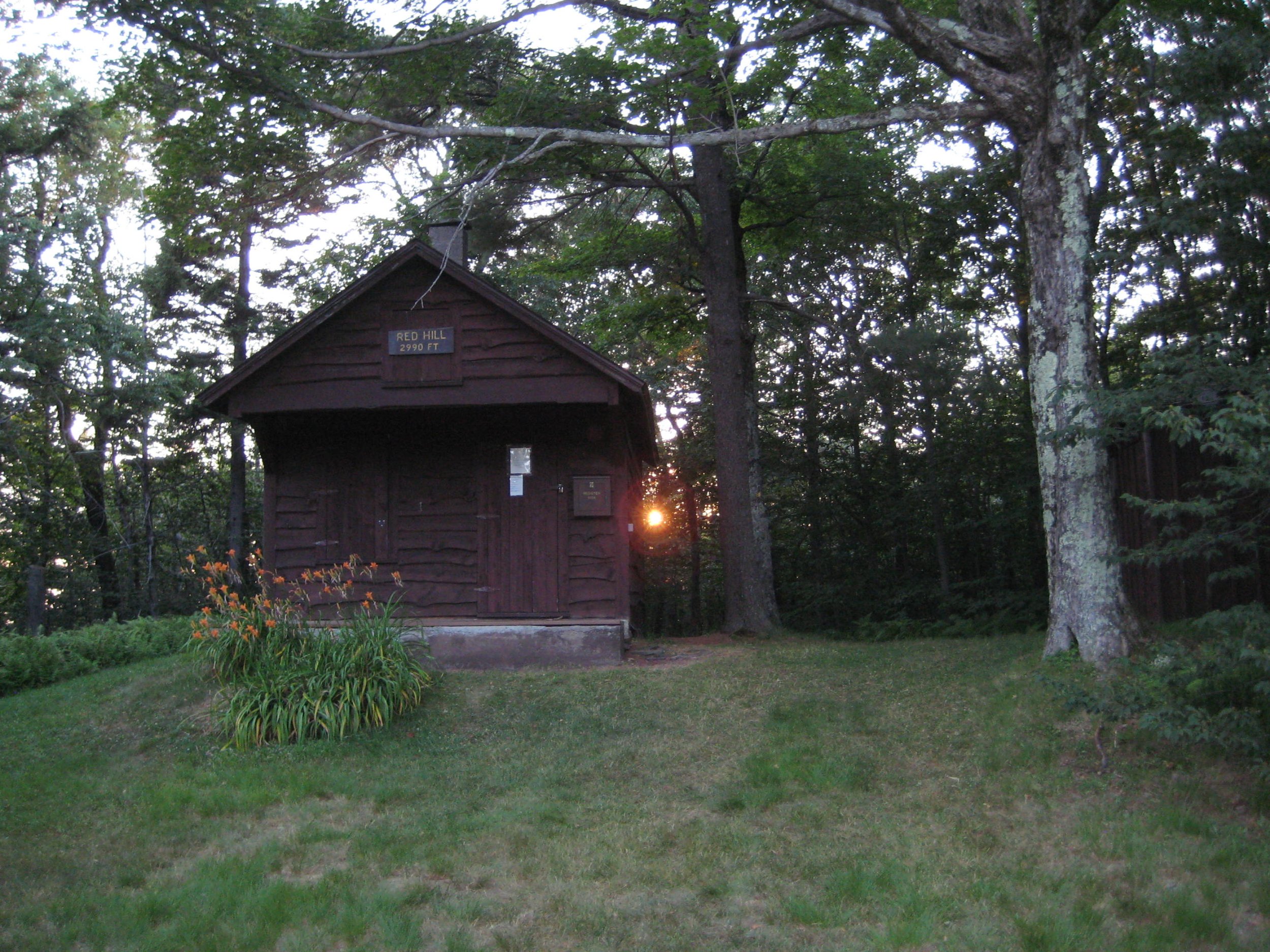
Join Al Purdy for a hike to the Red Hill Fire Tower along one of the Catskills’ newer trails. This 4.2-mile, out-and-back hike is rated as moderate and will last about four hours. Hikers should bring lunch/ snacks, plenty of water/ drink, sunscreen, insect repellent, extra clothing, rain gear, and trekking poles (optional).
To participate, hikers must register by August 22, 2025. To register, contact Al at Albertpurdy1@aol.com or (845) 514-0919. This hike is limited to 12 people. Dogs are not permitted on this hike.
Directions: From State Route 28 at Big Indian, take Ulster County Highway 47 south for 20.6 miles (becomes Sul. Co. Hwy 157) to the stop sign near Claryville. Turn left onto Denning Road and proceed 2.8 miles and the sign at the trailhead parking will be on your right.
From State Route 55 just west of Grahamsville, take the Claryville Road (Sul. Co. Hwy 19) for 7.4 miles and the sign at the trailhead parking will be on your right.
GPS Coordinates for trailhead: 41.93520, -74.52925
Google Map Link: https://maps.app.goo.gl/GYj1tMj2cWYgKRh98
Additional Information: Threat of severe weather will postpone the hike.

North Dome and Mount Sherrill
This hike is a 6.5-mile challenging bushwack with fun climbs and nice views. With a 2300’ ascent, the hike is rated moderate-to-difficult. The pace of the hike will be moderate (about 1-1/2 mph moving speed, typically) with steep climbs and short breaks.
Hikers need to bring plenty of water/ sports drink, lunch/ snacks, sturdy water-resistant boots, proper layered clothing, insect repellent, sunscreen, and gaiters and hiking poles are recommended. We expect the hike to take about six hours.
The event is limited to 12 people and registration is required by August 23. To register, contact event leader Marv Freedman at marvfreedman@gmail.com Please include your cell number in your registration request. Dogs are permitted only with the permission of the event leader.
We will meet, ready to shuttle, no later than 8:00 am at the Shaft Rd parking area off of Rt 42. Please do not park on Shaft Rd. or the adjacent home's driveway. This is where our hike will end. We'll leave most cars here, and will shuttle to the Mink Hollow parking area (Western end of Devil's Path) on Spruceton Rd to start our hike.
GPS Coordinates for Shaft Road parking area: 42.165112, -74.408771
Google Maps link for Shaft Road parking area: https://maps.app.goo.gl/Q5nr8Y5afajuHm1B9
Driving directions: From the north, take State Route 23A to State Route 42. Go 7.6 miles on Route 42 and turn left. Continue on the short gravel road through the line of trees, and the parking area is on the right.
From the south, take State Route 28 to State Route 42. Take Route 42 3.75 miles and turn right. Continue on the short gravel road through the line of trees, and the parking area is on the right.
Additional Information: Meeting place and time, route details, and required gear are subject to change based on weather forecast, trail conditions, etc. Updated information will be provided via email, usually about four days before the hike.

CANCELED Windham High Peak
CANCELED
Here is one of the easiest hikes to a Catskills high peak. Beginning at Peck Road, this is a 6.3-mile out-and-back hike with 1430’ elevation gain. Rated as moderate, there are some terrific views, as well as a shady evergreen forest along the way. Fit beginners are welcome on this hike. The pace will be moderate, about 1.5 mph, and we expect the hike to take about 5.5 hours.
Hikers need to bring plenty of water/ sports drink, lunch/ snacks, sturdy water-resistant boots, extra clothing; sunscreen/ hat/ sunscreen (optional); hiking poles are recommended. The event is limited to 12 people and registration is required by August 11. To register, contact event leader Marv Freedman at marvfreedman@gmail.com Please include your cell number in your registration request. Dogs are permitted only with the permission of the event leader. Note: meeting place and time, route details, and required gear are subject to change based on weather forecast, trail conditions, etc. Updated information will be provided via email, usually about two to four days before the hike.
We will meet and be ready to hike at 8:00 am at the Peck Rd Trailhead.
Google Maps Link: https://maps.app.goo.gl/87EVMA4cD4tfkZRWA
GPS Coordinate for trailhead: 42.296427, -74.169147
Driving Directions:
From NYS Thruway (87) Saugerties/ Exit 20, turn right on 32 North for six miles and keep straight onto NY-32A. Take NY-32A for 0.6 miles, bear left onto NY-23A. Take Route 23A for 5.5 mi. and turn right onto Co. Hwy 25. At 2.8 mi. stay right onto Co. Hwy 23C; in another four miles turn right onto Co. Hwy 40. Take Co. Hwy 40 for 1.8 miles and turn left onto Peck Road. Continue on Peck until the end/ the trailhead.
From NYS Thruway to Catskill (Exit 21), take a left out of the NYS Thruway entrance road. Go approximately 1/4 mile Take a right onto Route 23 West. Go approximately around 21.5 miles on Route 23. Take a left onto County Rt 65 (Main Care Gas Station on Right - Condos on left). Go approximately 0.7 miles on Route 65. Take left onto Rt 65A. Go approximately 0.3 miles on Rt 65A . Continue Straight onto Rt 40 after stop sign. Go approximately 1.8 miles on Rt 40 and turn left onto Peck Road. Continue on Peck until the end/ the trailhead.

Hike Panther Mountain and Giant Ledge
This one-way outing – from Woodland Valley to Fox Hollow – is being led by Al Purdy. At just over 10 miles, this route is rated as difficult and is expected to take eight hours. Participants need to bring lunch, snacks, plenty of water and sports drink, sunscreen, insect repellent, rain gear, sturdy shoes, and hiking poles (recommended).
This hike requires registration by August 8. To register, contact Al at Albertpurdy1@aol.com or (845) 514-0919. Dogs are not permitted on this hike. Severe weather will postpone the hike.
Directions. We will meet at Fox Hollow to begin the shuttle to Woodland Valley. From NYS Thruway Exit 19 (Kingston), turn right onto Route 28 and follow for 27.1 miles. Turn left onto Fox Hollow Road, continue for 1.6 miles, and the parking area will be on the right.
GPS coordinates of meeting location (Fox Hollow): 42.09848, -74.39134
Google Maps link to Fox Hollow Parking: https://maps.app.goo.gl/md4BYzinWKWwGxXW6
Additional notes: Al Purdy will cover the small cost of parking at Woodland Valley.

Wittenberg, Cornell, and Slide Mountains
Join Marv Freedman and friends for a trip along the famed Burroughs Range, with its challenging climbs, a cave, and spectacular views. With a distance of ten miles and an elevation gain of 3700’, this outing is rated as difficult. The pace of the hike will be moderate (about 1-1/2 mph moving speed, typically) with steep climbs, and short breaks. The overall time on the trail is expected to be eight hours. Hikers need to bring plenty of water/ sports drink, lunch/ snacks, sturdy water-resistant boots, proper layered clothing, a headlamp (we expect to finish before dark, but we need to be prepared in case we don't); sunscreen/ hat/ sunscreen (optional); hiking poles are recommended.
The event is limited to 12 people and registration is required by August 7. To register, contact event leader Marv Freedman at marvfreedman@gmail.com Please include your cell number in your registration request. Dogs are permitted only with the permission of the event leader. Note: meeting place and time, route details, and required gear are subject to change based on weather forecast, trail conditions, etc. Updated information will be provided via email, usually about two to four days before the hike.
We will meet, ready to shuttle, no later than 8:00 am at the Slide Parking Area on Oliverea Rd. This is where our hike will end. We'll leave most cars here and will shuttle to Woodland Valley to start our hike.
GPS Coordinates to the Slide Mountain Parking Area: 42.008650, -74.427621
Google Maps link: https://maps.app.goo.gl/bLJbBZjgrgLQoVQw9
From the north, take State Route 28 to County Hwy 47 and go 9.3 miles and the parking area will be on the left.
From the south, take State Route 55 to Sullivan County Hwy 19 (just west of Grahamsville). Proceed 4.6 miles to Claryville and turn left onto SulCo Hwy 157. Take this road (which becomes UlsCo Hwy 47) 11.4 miles and the parking area will be on the right.
Additional Information: Meeting place and time, route details, and required gear are subject to change based on weather forecast, trail conditions, etc. Updated information will be provided via email, usually about four days before the hike.

Plateau, Sugarloaf, Twin, and Indian Head Mountains
Here’s a challenging ten-mile hike along the eastern Devil’s Path with excellent views and fun scrambles. With 4300' of elevation gain, this outing is rated as difficult and is expected to take about seven hours. We will hike at a pace of approx. 1.5 mph.
Hikers need to bring water/sports drink (2+ liters recommended), snacks (we will not stop for a long lunch), insect repellent, sunscreen, sunglasses, sturdy/water-resistant hiking shoes, hiking poles (recommended), and a headlamp (we should finish well before dark, but need to be prepared in case we're delayed). This hike is limited to 12 people, and registration is required. To register, contact Marv Freedman at marvfreedman@gmail.com by August 2. Please include your cell number in your registration request. Dogs are permitted with the permission of the event leader. Updated information will be provided via email, usually about two to four days before the hike.
Meet, ready to shuttle, no later than 8am, at the Prediger Trailhead, off of Platte Clove Rd. This is where our hike will end. We'll leave most cars there and will caravan to the end of Mink Hollow Rd to start our hike.
Google Maps Link: https://maps.app.goo.gl/vHJdQzeqL3cMtZSdA
GPS Coordinates: 42.1340112, -74.104360
Directions to Prediger Road Trailhead: To reach the trailhead from State Route 23A east in Tannersville, bear left on South Main St., stay left on Spruce (becomes Platte Clove Rd.) and at 1.5 miles stay left on Platte Clove Road and continue another 4.2 miles. Turn right on Prediger Road, following the signs for forest preserve parking near the end of the road.
From Route 23A west, take a right on Bloomer Road (.6 miles after the 23A/ 214 jnctn). Just after a mile stay to the right at the yield signs and onto Platte Clove Road (Co. Hwy. 16). Continue 4.3 miles and turn right on Prediger Road, following the signs for forest preserve parking near the end of the road.
The Prediger Road Trailhead can also be reached from State Route 212. From the NYS Thruway Exit 20/ Saugerties, take 212 west about 2.2 miles, turn right onto Blue Mountain Road, continue 1.4 miles and bear left onto West Saugerties Road (becomes Platte Clove Road); continue for 5.25 miles up steep grade to Prediger Rd. Follow the signs for forest preserve parking near the end of the road.

Bovina 5K Run, Walk, Kids' Run
Register HERE
Organized by Catskill Mountain Club, Livestock Foundation, and Local Volunteers

Hike Windham High Peak, Acra Point, and Burnt Knob
Join Al Purdy for this nine-miler along the Escarpment in the northern Catskills. Rated as difficult, this point-to-point hike will begin at the Big Hollow Trailhead and conclude at the Elm Ridge Trailhead. Participants need to bring lunch, plenty of water, rain gear, sunscreen insect repellent, sturdy hiking shoes, and other drink and snacks, as needed. We will meet at 8:30 am at Big Hollow to begin the shuttle. The day’s journey is expected to take eight hours.
This hike is limited to 12 people, and registration is required by July 11. To register, contact Al Purdy at Albertpurdy1@aol.com or (845) 514-0919. Note: dogs are not permitted on this hike. Threat of severe weather will postpone the hike.
Google Maps Link to Big Hollow Trailhead: https://maps.app.goo.gl/Xjy61d2qGsR4uoKR8
GPS Coordinates to Big Hollow Trailhead: 42.28894 -74.11508
Driving directions: From NYS Thruway (87) Saugerties/ Exit 20, take Route 32 North for six miles and keep straight onto NY-32A. Take NY-32A for 0.6 miles, bear left onto NY-23A. Take Route 23A for 5.5 mi. and turn right onto Co. Hwy 25. At 2.8 mi. stay right onto Co. Hwy 23C; in another four miles turn right onto Co. Hwy 40. Take Route 40 for 1.9 miles, turn right onto Route 56/ Big Hollow Road for 4.2 miles to the trailhead near the end of the road.
Past events
Other Catskill Region Events
Don’t see a scheduled event that works for you? Try the schedules of these other Catskill area hiking clubs and organizations.
-

Catskill 3500 Club
The Catskill 3500 Club was founded in 1962 to foster interest in hiking in the Catskills. Membership is open to anyone who has climbed on foot each of the 35 Catskill peaks above 3500 feet in elevation. The club’s schedule appears in their newsletter, The Canister.
-

New York-New Jersey Trail Conference
The New York-New Jersey Trail Conference builds, maintains and protects 2,000 miles of trail in New York & New Jersey, including 29 lean-tos and over 200 miles of trails in the Catskills, by mobilizing volunteers. Learn more about Catskill programs and upcoming volunteer opportunities.
-

Triple Cities Hiking Club
The Binghamton based Triple Cities Hiking Club has been active since 1947 in promoting access to hiking opportunities. Hikes are scheduled on most weekends throughout the year and range in degree of challenge from easy outings to very strenuous hikes, including in the Catskills.
-

Finger Lakes Trail Conference
The FLTC was founded in 1962. It works in cooperation with its members and various organizations to develop and maintain a premier hiking trail system in New York. Learn more about the trail and find out how to help.
-

Fats in the Cats Bicycle Club
The Fats in the Cats Bicycle Club, an IMBA Chapter, promotes cycling advocacy, trail building, trail maintenance and community service. Since 1994, the club has been advocating, stewarding and improving many of the best places to ride a mountain bike in New York’s Catskill Park and Hudson Valley Region. In addition, the club organizes group rides and gives away dozens of bikes to needy kids every holiday season.
-

New List Item
The Susquehanna Chapter of the Adirondack Mountain Club (ADK) is based in Oneonta, NY, with chapter members living within the counties of Otsego, Delaware and Chenango Counties in Central New York.
The chapter provides opportunities for members to get involved in ADK’s conservation, advocacy, recreation, education, & stewardship work in the local area and statewide.


