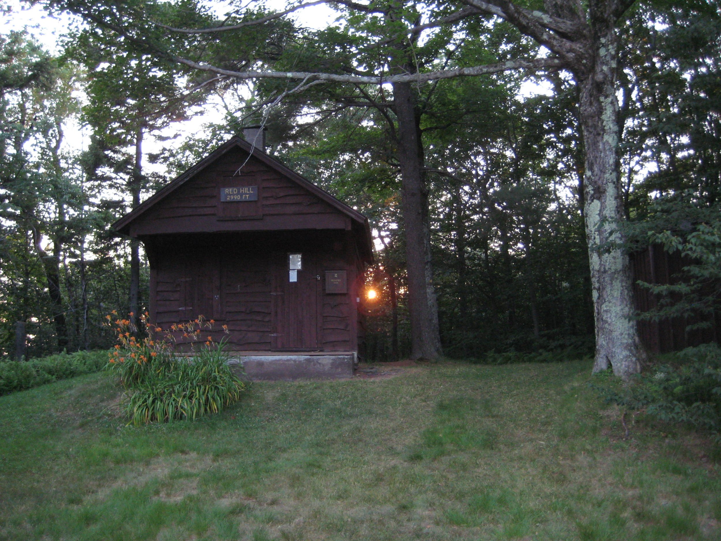
This is a four-mile out-and-back moderate hike to the summit of Red Hill, which has a fire tower! It's a great hike no matter what, and if you're engaged in the NYS Fire Tower Challenge for 2024, and you haven't gotten to Red Hill yet, this is a chance to do so. We will proceed at an accommodating pace and take a lunch break at the summit. Participants should bring lunch/ food, water/ beverage, proper clothing and equipment, sunscreen, insect repellent, and micro-spikes if icy.
This event is limited to 12 registrants, and the deadline to register is March 28. Register by emailing hike leader Peter Manning at Peter@catskillmountainclub.org (preferred) or via phone (607) 832-4413. Dogs are not permitted on this hike. Severe weather cancels; notification of cancelation will be via email the night before the hike.
Directions: From State Route 28 at Big Indian, take Ulster County Highway 47 south for 20.6 miles (becomes Sul. Co. Hwy 157) to the stop sign near Claryville. Turn left onto Denning Road and proceed 2.8 miles and the sign at the trailhead parking will be on your right.
From State Route 55 just west of Grahamsville, take the Claryville Road (Sul. Co. Hwy 19) for 7.4 miles and the sign at the trailhead parking will be on your right.
GPS Coordinates: 41.93520, -74.52925 (address 2205 Denning Rd., Claryville, NY).

