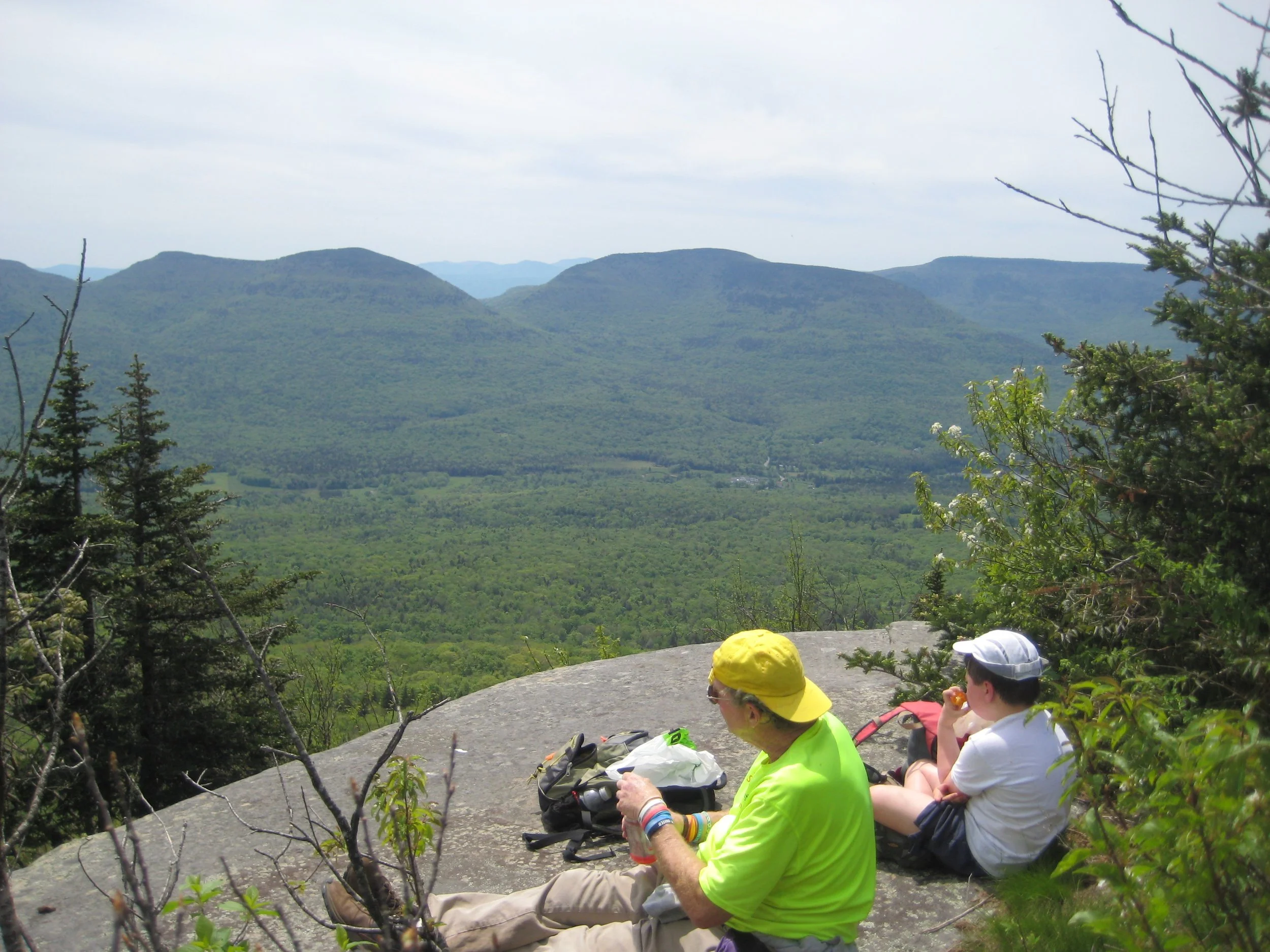
Climb Kaaterskill High Peak (Elev: 3652') with Marv Freedman and friends. This moderate-difficult hike is 8+ miles in length with 1850’ of elevation gain. This trail/ bushwack hike will be at a moderate pace (about 1-1/2 mph moving speed with short breaks). There will be fun scrambles, two plane crash sites, and spectacular views from Hurricane Ledge.
Participants should bring lunch and snacks (to be eaten during short breaks. We won't stop for a long lunch), water resistant boots, gaiters (recommended), hiking poles (recommended), water/sports drink (recommend 1 to 2 liters), proper clothing, sun/ insect protection, headlamp (I expect to finish well before dark, but we need to be prepared in case we're delayed).
Registration is required for this hike, which is limited to 12 people. Deadline for registration is 9/30/24. Register by contacting Marv Freedman at marvfreedman@gmail.com Dogs are permitted on this hike with the permission of event leader Marv Freedman.
Directions: We will meet no later than 8:45am at the Huckleberry Point Parking Area off Platte Clove Road. Google Maps link: https://maps.app.goo.gl/AK9RB4V1LKGxFkmM8?g_st=com.google.maps.preview.copy Please arrive, in time to be ready to hike, transfer your gear, and start our shuttle at 9:00 am. Marv will arrive by 8:30. This is where our hike will end. We'll transfer gear to the fewest number of cars, and caravan to a small parking spot on the shoulder of Byrne Road to start our hike.
GPS Coordinates: 42.133767, -74.081981
Driving Directions: From the NYS Thruway Exit 20 (Saugerties) take State Route 212 west to Blue Mountain Road. Blue Mountain Road is 2 miles from the junction of Routes 212 and 32 and 2.3 miles from the junction of Route 212 and the northbound thruway exit. Turn right on Blue Mountain Road (Co. Hwy 35), go 1.4 miles, and turn left onto West Saugerties Road (Co. Hwy 33.) Take this road (it will steepen at 2.6 miles) 4.2 miles to the Long Path/ Huckleberry Brook Trailhead/ Parking Area (on your right).
To reach the trailhead from the east on State Route 23A in Tannersville, take South Main, stay left on Spruce (becomes Platte Clove Rd.) and at 1.5 miles stay left on Platte Clove Road and continue another 5.2 miles and the trailhead/ parking area is on the left. (Go slow in Platte Clove. Do not miss turn!!)
Additional Information for Posting: Meeting place and time, route details, and required gear are subject to change based on weather forecast, trail conditions, etc. Updated information will be provided via email, usually about four days before the hike.

