Hike the Shavertown Trail | Thursday, May 17, 10:00 AM
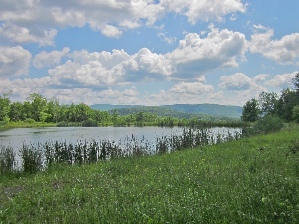
 The Shavertown Trail begins with a moderately difficult climb to a woods road. From there it climbs gently to a lovely pond and beautiful views of the mountains over the Pepacton Reservoir. Beyond the pond is a moderately easy hike to a short loop ending, followed by the return hike.This will be one of the last opportunities to hike the full trail until late this year due to a planned forestry project that will necessitate closing the trail above the pond for several months.Event Duration: 5.3 miles, 4 hoursLevel of Difficulty: Moderate; 800' elevation gain.Leaders: Jeff Ditchek and John ExterRegistration required by May 15. Register by contacting the leader. See below.Group size is limited to 12, so register early.Bring: good hiking shoes, plenty to drink, lunch, moisture wicking layers that can be shed or added as neededDogs allowed: YesQuestions about this event can be directed to: Jeff Ditchek at jiditchek@gmail.comDriving Directions: From Margaretville follow SR 28/30 west to the intersection where SR 30 turns south (left). Follow SR 30 to the Shavertown Bridge. Immediately before crossing the bridge, turn north (right) to the parking area on the left.From Andes take CR 1 south to the Shavertown parking area on the right, just before the SR 30 intersection.
