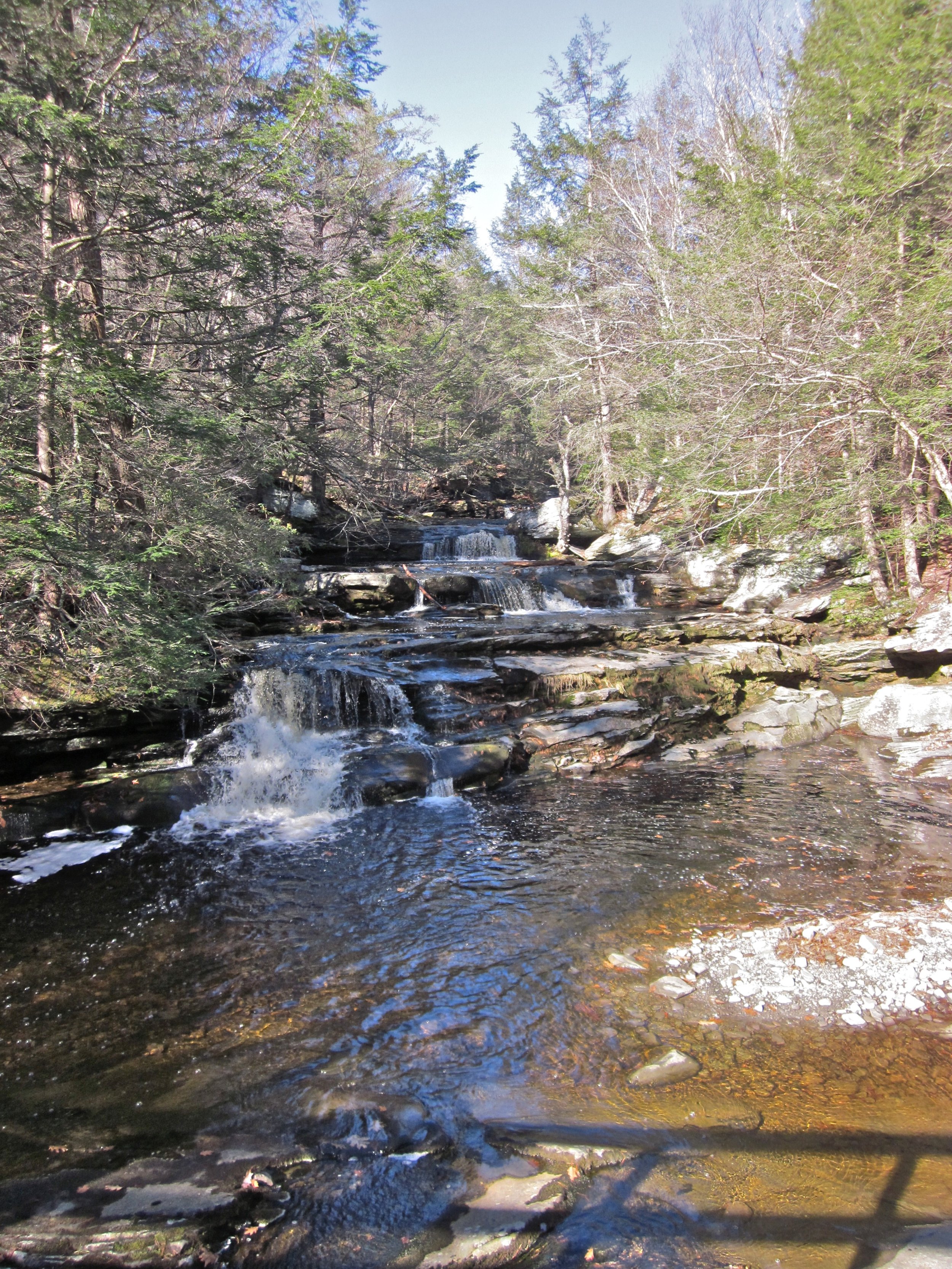
Long Path – Peekamoose to Upper Cherrytown | Monday, August 9, 2021 @ 8 AM
 This hike starts with a steep climb up Bangle Hill from Peekamoose Rd, gaining over 1100 feet in 1.1 miles. After the initial climb, the remainder of the hike is relatively level, dropping about 600 feet over 6.4 miles to Vernooy Falls, then dropping another 500 feet in the last 1.7 miles. If the weather cooperates we'll stop for a swim at Vernooy Falls.Event Duration: 10 miles, 9 hoursLevel of Difficulty: Moderate-Difficult Leader(s): Marv FriedmanBring: Comfortable hiking boots, hiking poles are recommended, lunch, snacks, at least 2 liters of water/sports drink, sun screen, bug repellent, towel/change of clothes if you intend to swim. Map and compass.Registration required by 8/8/21. Register by contacting the leader. See below.Group size is limited to 12, so register early.Dogs allowed: Yes, only with permission of event leaderAdditional Information: For those working on the Catskills All Trails Challenge,this hike completes the 9.65 mile segment listed as Long Path – Peekamoose-Upper Cherrytown on Map 143.Covid-19 Guidelines: Wear a mask while congregated in the parking lot or at other sites. Hike single file, following social distancing protocols. Avoid carpooling except with members of your household. Use your own pen when signing in, or use hand sanitizer. Note: As vaccination rates rise, risks decrease. We will phase out these guidelines when rates improve significantly. In the meantime, please protect others and yourself by following these simple, CDC endorsed guidelines.Registration and Questions about this event can be directed to: Marv at marvfreedman@gmail.com.Driving Directions: Google Maps link to Meeting Point: https://goo.gl/maps/q9smLrMYizFJFAXYAThe meeting point is on Upper Cherrytown Rd. This is where the hike will finish. We'll leave cars there and will drive to a parking area on Peekamoose Rd (GPS: 41.91635, -74.43547 Google Maps: https://goo.gl/maps/5jm8KA3eYTg7xTcp6) to start the hike.GPS coordinates: 41.86421, -74.34626
