
Andes Rail Trail and the Bullet Hole Spur

The Andes Rail Trail is an easily accessible hiking trail in an idyllic setting, suitable for individuals and families of all ages.
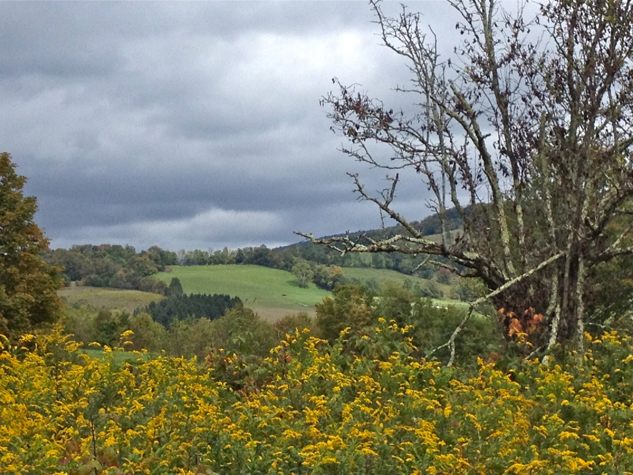
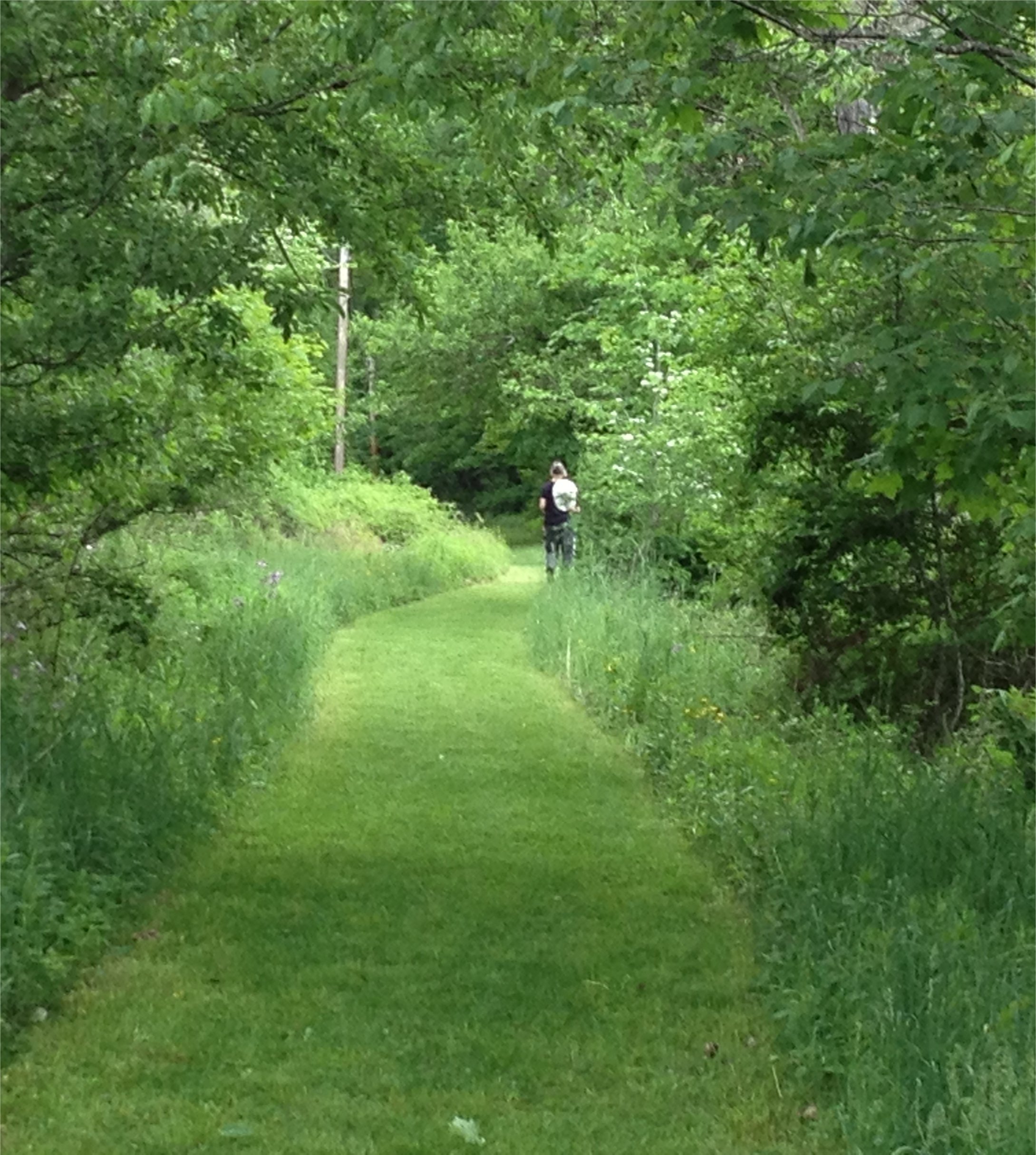
The trail starts at the beautiful pergola and gate at 266 Depot Street. Pass the historic Depot Building, erected in 1907. The first section of the trail continues for one very flat mile (2 miles round trip) along the old rail bed, and provides a peaceful experience of field and woodland beauty and wonderful mountain views.
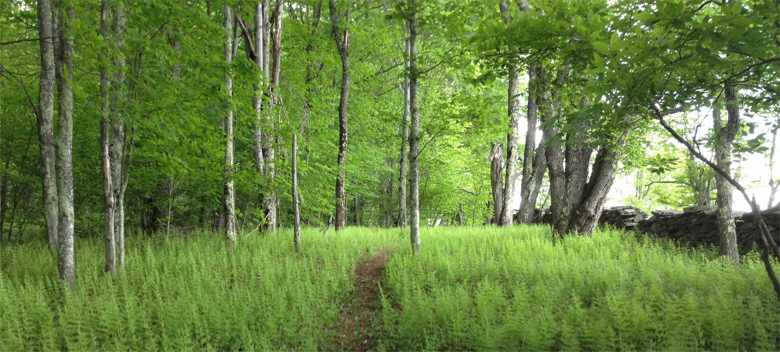
In June 2013, the Bullet Hole Spur addition to the hiking trail was opened. The Spur extends the trail an additional 2 miles, bringing the option of the total walk to 4 miles round trip. The Spur climbs the ridge above the rail bed, taking hikers through mature hardwood forest, open woodlands covered in ferns and princess pine, an old pine plantation and hemlocks towering above the Bullet Hole Creek. The Spur is a bit more strenuous. There are a couple of well-designed moderately steep sections, but they are followed by relatively flat sections so you get a nice breather after working a little harder. There are many wonderful views of the Tremperskill valley from the Spur.
Get the free GPS Enabled map available for your iPhone or Android devices — click here to learn more.
Additional information about the trail and the history of its railroad can be found here.
Andes Rail Trail Hiking Guide
The ART begins at the restored Andes Train Station. The easy moderate out and back hike totals four miles. It follows the old rail bed for about 0.8 miles until ending at private property. This scenic section overlooking the Tremperskill Valley is flat and wide with a few short detours provided for use in wet conditions. Along the way are several nice viewpoints, including one over a beaver pond dammed up on the creek by the resident beavers.
From there the trail turns west (right) uphill onto the Bullet Hole Spur, which climbs the slopes of Hemlock Knoll. The trail is moderate in dif ficulty, with some short but fairly steep ups and downs.
After a short distance, the trail turns north (right) and after about 0.1 milesmakes a sharp switchback to begin climbing a steeper section. This sectionpasses some nice rock formations and glacial erratics in a mixed hardwood forest.
The height of land is reached in about 0.2 mile. The trail then begins a descentsoon coming to a lovely fern glade. Just past the glade is a stone wall. The trail makes a sharp turn south before coming to a step-up and crossing the wall.
Directly ahead lies a large spruce plantation. The trail continues straight aheadfollowing a row through the trees before coming to nice views of the adjacent field and the hills beyond. At this point it bears slightly right and descends towards abeautiful grove of old hemlocks.
After crossing the ruins of another stone wall the trail again swings right and loops through the hemlocks. The Bullet Hole Creek (on private land) can be heard and glimpsed to the left side of the trail.
As you walk through the hemlock forest pay careful attention to the markers. You will come to a place where the trail turns north (right). Going straight enters private lands. The trail soon crosses a largely flattened stone wall before reclimbing the hill through the spruce trees and returning to the step-up stone wall crossing. From this point retrace your steps back to the parking lot.
Level of Difficulty
Very easy
1 mile (2 miles round trip) is flat, travelling on the old rail bed.
Moderate
The second mile climbs up Hemlock Knoll with a switchback with stone steps in places ending above the Bullet Hole Creek. This portion is a moderate climb and makes the trail approximately 4 miles in total, round trip.
Trail surface is natural, with grass, dirt, roots, stones and sometimes mud in spots.
Track ties can still be felt under foot in many areas.
A small bog boardwalk spans the muddiest area.
There may be wet and muddy spots during rainy or snowy spells.