

Ashokan Quarry Trail
NOTE: The AQT is closed to hikers temporarily for regular (rifle) hunting season from November 16th thru December 8th.
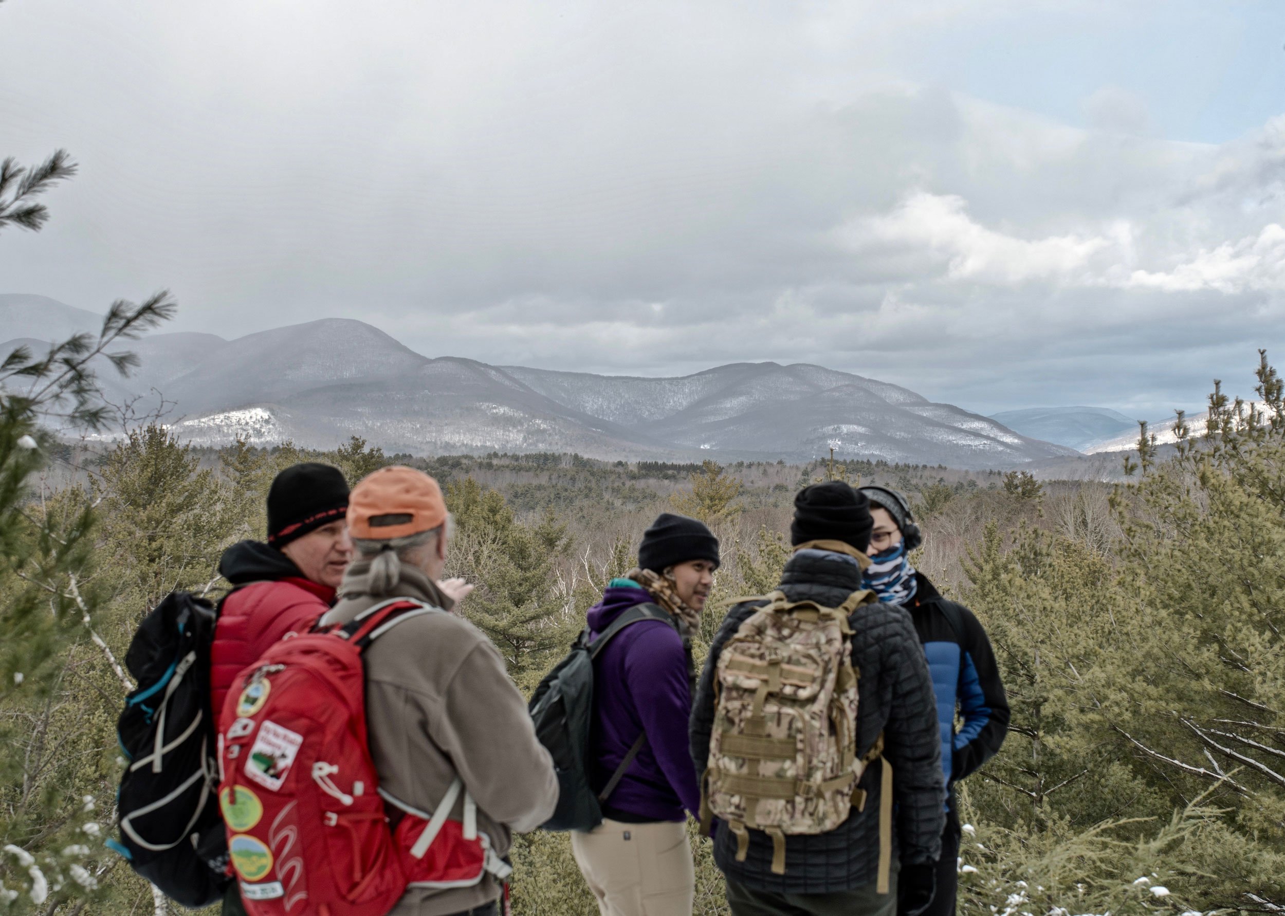
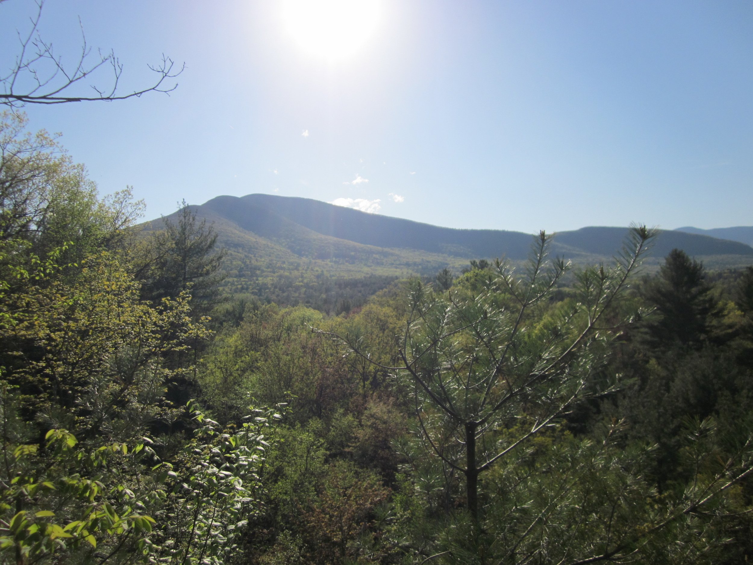
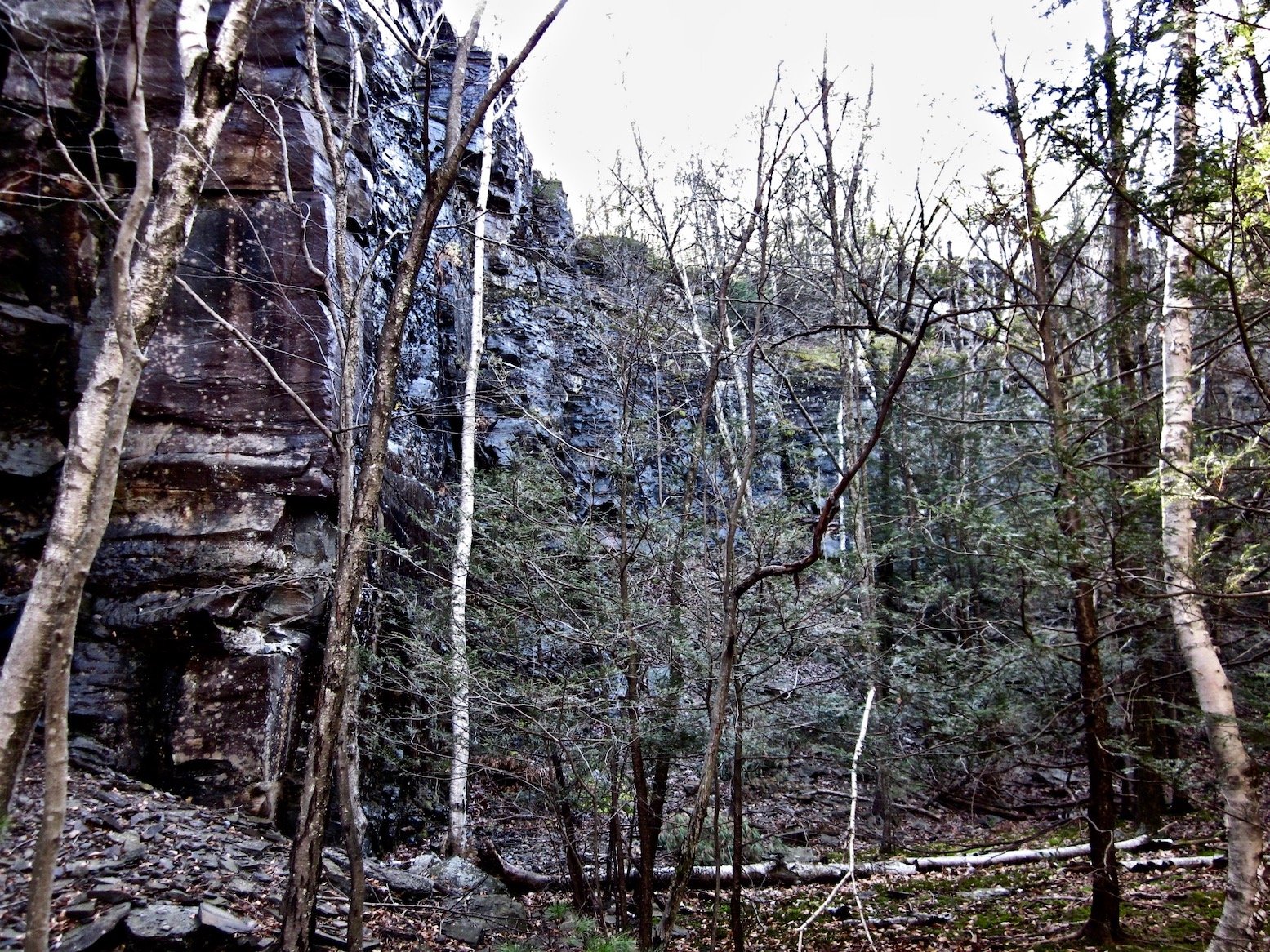
The Ashokan Quarry Trail is sited on the NYC Department of Environmental Protection’s Acorn Hill parcel, just to the south of the Ashokan Reservoir. The 2 mile lollipop route offers close-up views of Ashokan High Point and to the mountains north and west including the Burroughs Range, North Dome and Tremper Mountain. The trail passes by several artifacts from the reservoir’s construction phase including a rail car loading zone and the remnants of machinery used to load stone. The trail passes through a thick stand of mountain laurel which is in bloom in June. The AQT is an easy hike which is mostly flat except during the modest ascent to the top of the quarry. The quarry wall is high and sheer, offering open views at its highest point. There is a vernal pool at its base that is fed by water flowing down the face of the cliffs.
Get the free GPS Enabled map available for your iPhone or Android devices — click here to learn more.
Ashokan Quarry Trail Hiking Guide
Welcome to the Ashokan Quarry Trail, a project of the Catskill Mountain Club and the NYC Department of Environmental Protection with support from the Ashokan Watershed Stream Management Program. The total hike is approximately 2 miles long.
In 0.3 mile after you leave the trailhead walking south you will come to the remains of a small building which was used to store explosives when the quarry was active.
Just beyond the building ruins the trail turns left (east) as it begins to ascend towards the top of the quarry. Follow it as it swings south and soon passes through a long section of mountain laurel.
Shortly after leaving the mountain laurel the trail turns sharply right (west) and soon comes to the top of the quarry. The open ledge is high above the quarry floor and offers sweeping views of the mountains to the west and north.
After 0.6 miles and several other ledge top views the trail descends to the old railroad route that served to move stone from the quarry to the site of the dam on the Esopus Creek. (The dam is accessible from the Ashokan Promenade parking area, 0.2 miles southeast of the AQT parking lot on Rte. 28A.)
Turn right (north) and look to the left for a spur trail to the loading area for the trains. There are artifacts including high walls where the cars were loaded and machinery used in the process of moving stone to the train from the quarry. The spur is a 0.2 mile total out and back route.
When you return to the main trail turn left (north) and look right for the vernal pool at the base of the quarry walls.
Continue north to the parking lot in 0.7 miles, passing through an interesting series of tailing piles along the way that now support plant life.