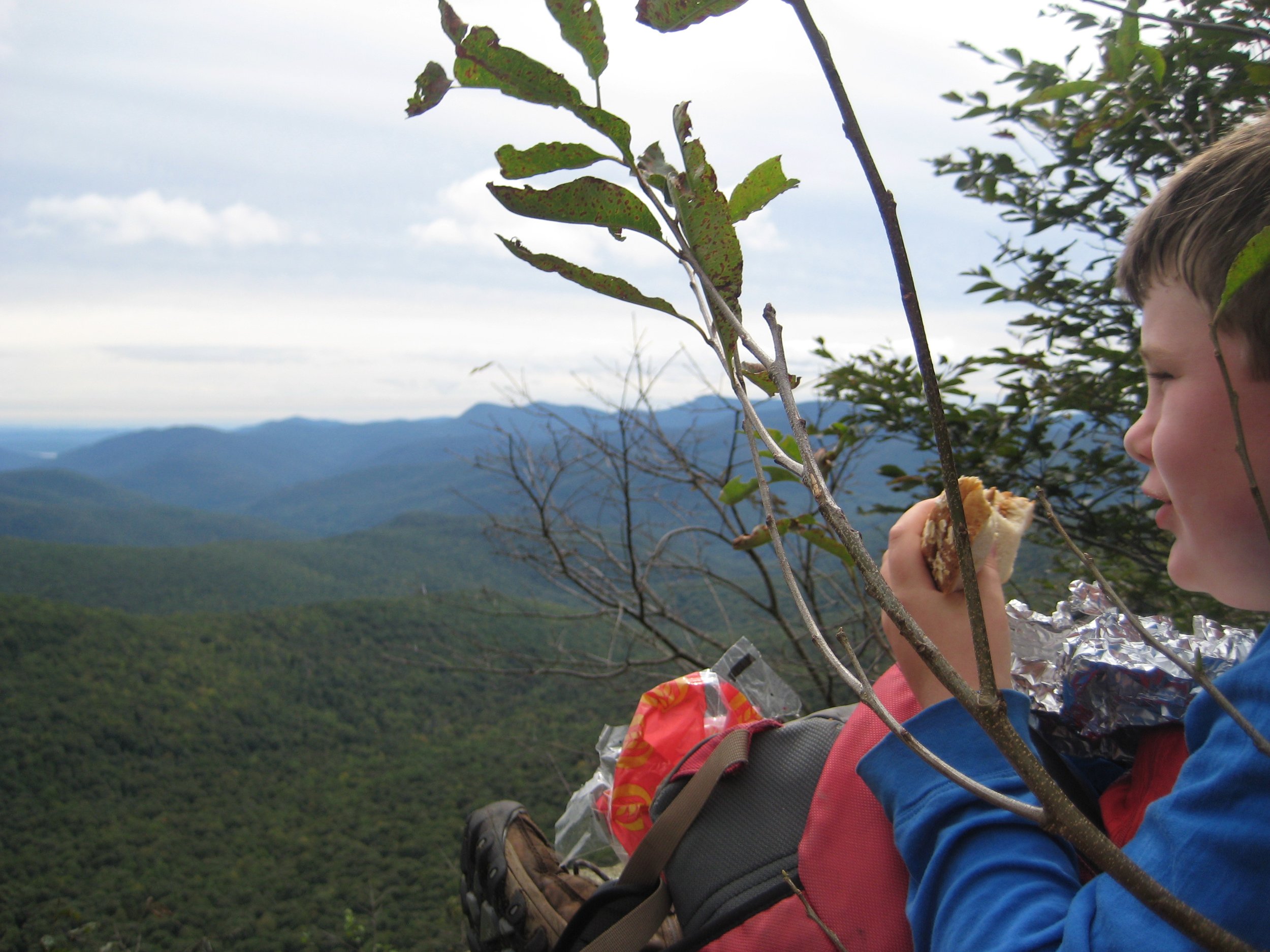
This one-way, 11-mile hike will visit West Kill Mountain (3898’), North Dome (3605’), and Mount Sherrill (3558’). This hike is rated as difficult and is expected to take 10 hours. We will hike at a moderate pace (about 1-1/2 mph moving speed) with steep climbs and short breaks. There are nice views from West Kill and North Dome, and an optional detour (adds about 1 mile) to visit the abandoned school bus on Sherrill. Hikers should bring water/ sports drink, lunch/ snacks, sturdy boots, proper clothing, a headlamp; and hiking poles are recommended.
The event is limited to 12 registrants and registration is required before April 13. To register, contact event leader Marv Freedman at marvfreedman@gmail.com Dogs are permitted only with the permission of the event leader.
Directions: We will meet at the Shaft Rd parking area off Route 42 in Lexington. This is where our hike will end. We'll leave most cars here and will caravan in a few cars to the West Kill parking area, near the end of Spruceton Road to start our hike.
From NYS Thruway Exit 19 (Kingston) merge onto NY 28 west for 27.6 miles. Then take State Route 42 north for 3.75 miles and Shaft Road is on the right; take the gravel road through the hedgerow and the parking lot is on the right.
From State Route 23A at Lexington, take State Route 42 south for 7.7 miles and turn left onto Shaft Road. Take the gravel road through the hedgerow and the parking lot is on the right.
GPS Coordinates: 42.16509, -74.40876
Additional Information: Meeting place and time, route details, and required gear are subject to change based on weather forecast, trail conditions, etc. Updated information will be provided via email, usually about 4 days before the hike.

